YEAR PUBLISHED: 1852
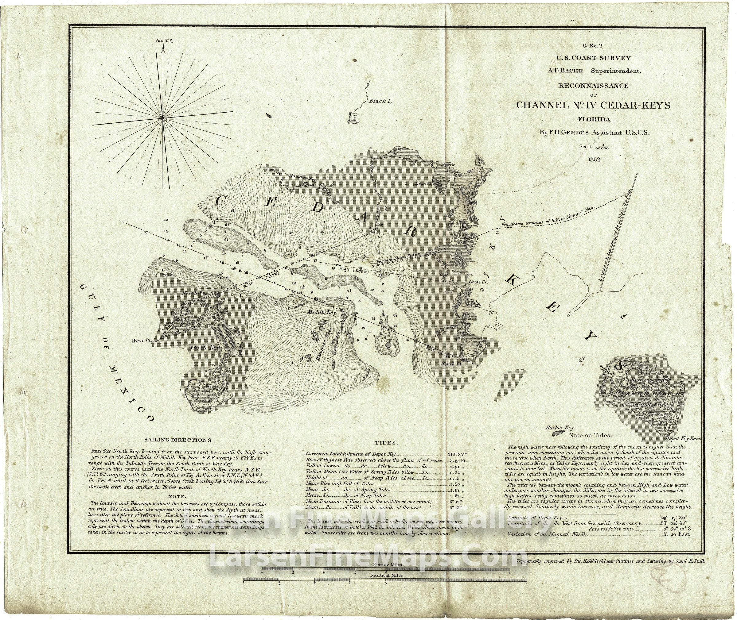
Reconnaissance of Channel No. IV Cedar Keys Florida
DESCRIPTION
A very detailed chart of Cedar Keys area showing Black Island, Depot Key, Hurricane Harbor, Harbor Key, North Key, Middle Key, Cedar Key, Mangrove Key along with detailed depth soundings, bearings, channels, proposes R.R. routes, proposed pier, aids and hazards to navigation. Includes sailing directions, tidal notes, and other notes.
FULL TITLE
MAPMAKER/CARTOGRAPHER/AUTHOR
PUBLISHER
PUBLICATION
DIMENSIONS (Inches)
CONDITION
Choose options
DESCRIPTION
FULL TITLE
MAPMAKER/CARTOGRAPHER/AUTHOR
PUBLISHER
PUBLICATION
DIMENSIONS (Inches)
CONDITION
DESCRIPTION
FULL TITLE
MAPMAKER/CARTOGRAPHER/AUTHOR
PUBLISHER
PUBLICATION
DIMENSIONS (Inches)
CONDITION