YEAR PUBLISHED: 1851
Frontier Stations, Boundaries Between the United States, Mexico and British Possessions.
DESCRIPTION
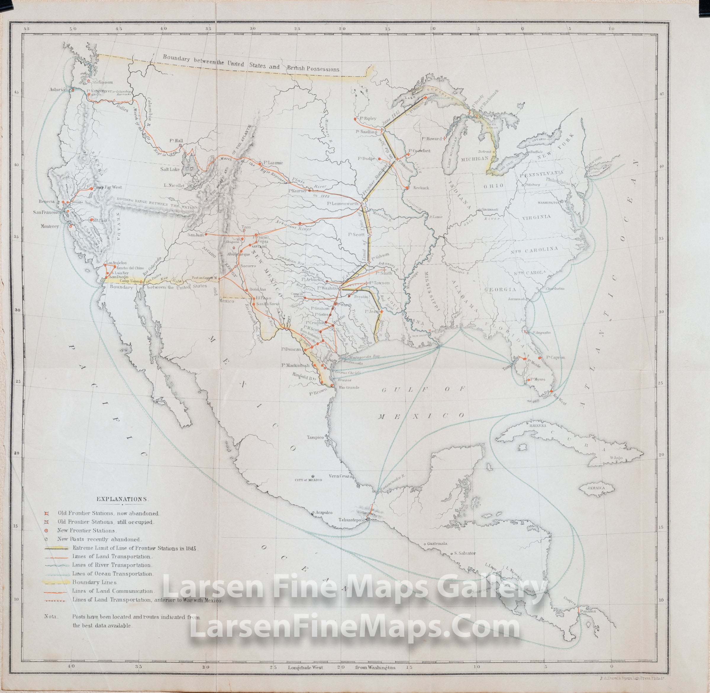
A very interesting and scarce map showing the extent of mid-nineteenth century military Frontier Stations just west of the Mississippi River, the route of the Rifle Regiment [the Oregon Expedition] in 1849. Also shown are land, river, and ocean transportation routes, boundary lines, lines of land communication, and lines of land transportaion (anterior to the War with Mexico). U.S. Boundaries with British possessions and Mexico are highlighted in yellow. Transportation lines are depicted in orange and blue, and frontier stations in red. Relief shown by hachures.
Map of the United States, Mexico, and Central America showing the limit of frontier stations.
Map of the United States, Mexico, and Central America showing the limit of frontier stations.
FULL TITLE
MAPMAKER/CARTOGRAPHER/AUTHOR
PUBLISHER
PUBLICATION
DIMENSIONS (Inches)
CONDITION
Choose options

DESCRIPTION
FULL TITLE
MAPMAKER/CARTOGRAPHER/AUTHOR
PUBLISHER
PUBLICATION
DIMENSIONS (Inches)
CONDITION
DESCRIPTION
FULL TITLE
MAPMAKER/CARTOGRAPHER/AUTHOR
PUBLISHER
PUBLICATION
DIMENSIONS (Inches)
CONDITION