YEAR PUBLISHED: 1851
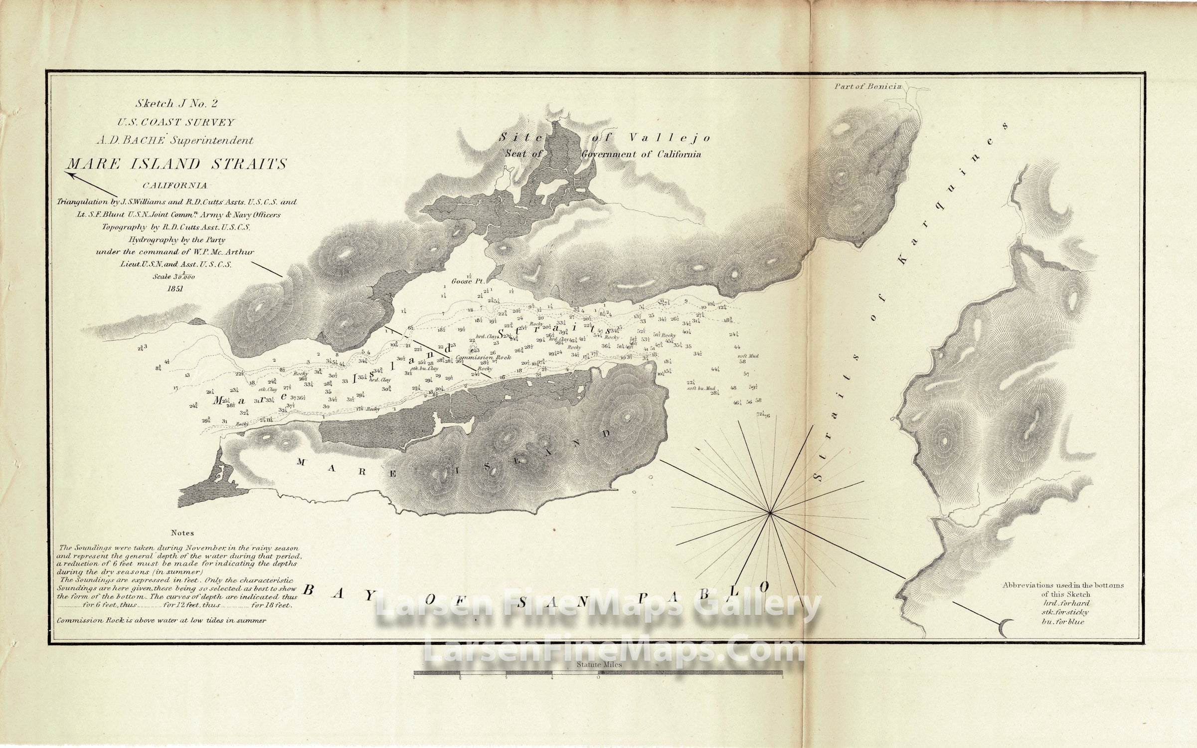
Sketch J No. 2 Mare Island Straits California
DESCRIPTION
Chart of Mare Island Straits, California showing part of the San Francisco Bay area including Mare Island, Bay of San Pablo, Straits of Karquines and Vallejo which served as the capital of the state of California in 1852 and 1853, shown as ‘Seat of the Government of California’. Depth soundings, bathymetry, rocks and bottom features along with notes important to the mariner are included.
FULL TITLE
MAPMAKER/CARTOGRAPHER/AUTHOR
PUBLISHER
PUBLICATION
DIMENSIONS (Inches)
CONDITION
Choose options
DESCRIPTION
FULL TITLE
MAPMAKER/CARTOGRAPHER/AUTHOR
PUBLISHER
PUBLICATION
DIMENSIONS (Inches)
CONDITION
DESCRIPTION
FULL TITLE
MAPMAKER/CARTOGRAPHER/AUTHOR
PUBLISHER
PUBLICATION
DIMENSIONS (Inches)
CONDITION