YEAR PUBLISHED: 1770
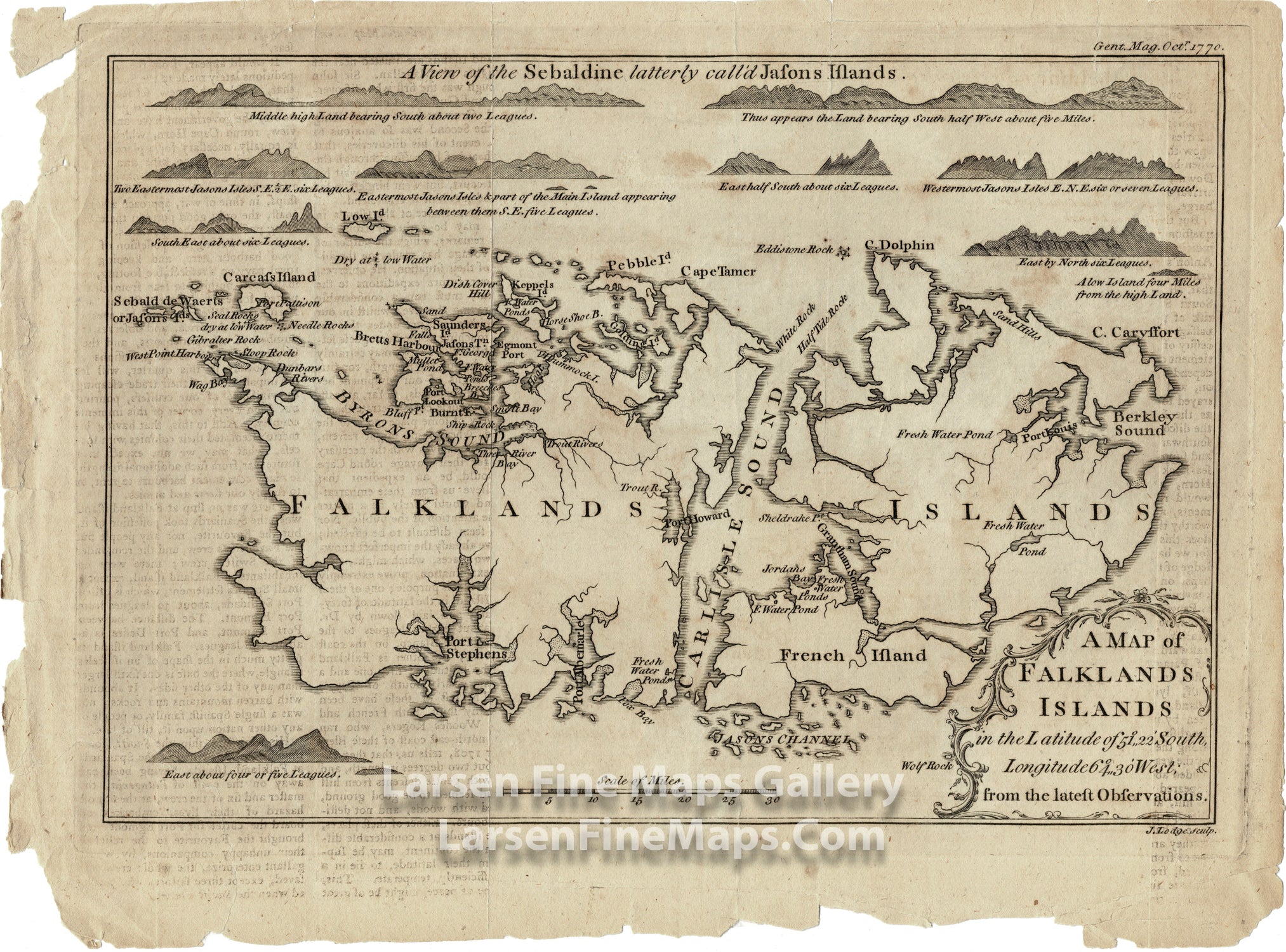
A Map of Falklands Islands from the latest Observations
DESCRIPTION
Chart of the Falkland Islands five to six years after its first settlement by a French Colony. It was during the time of the short conflict between Spain and Britain over control of the island group. Coastal elevation views show the various approaches to the islands. Carlisle Sound, Byron's Sound, Berkley Sound, Port Stephens, Brett's Harbor, Egmont Port, and many other locations are called out on the chart.
Published in Gentleman's Magazine October 1770.
FULL TITLE
MAPMAKER/CARTOGRAPHER/AUTHOR
PUBLISHER
PUBLICATION
DIMENSIONS (Inches)
CONDITION
Choose options
DESCRIPTION
FULL TITLE
MAPMAKER/CARTOGRAPHER/AUTHOR
PUBLISHER
PUBLICATION
DIMENSIONS (Inches)
CONDITION
DESCRIPTION
FULL TITLE
MAPMAKER/CARTOGRAPHER/AUTHOR
PUBLISHER
PUBLICATION
DIMENSIONS (Inches)
CONDITION