YEAR PUBLISHED: 1755
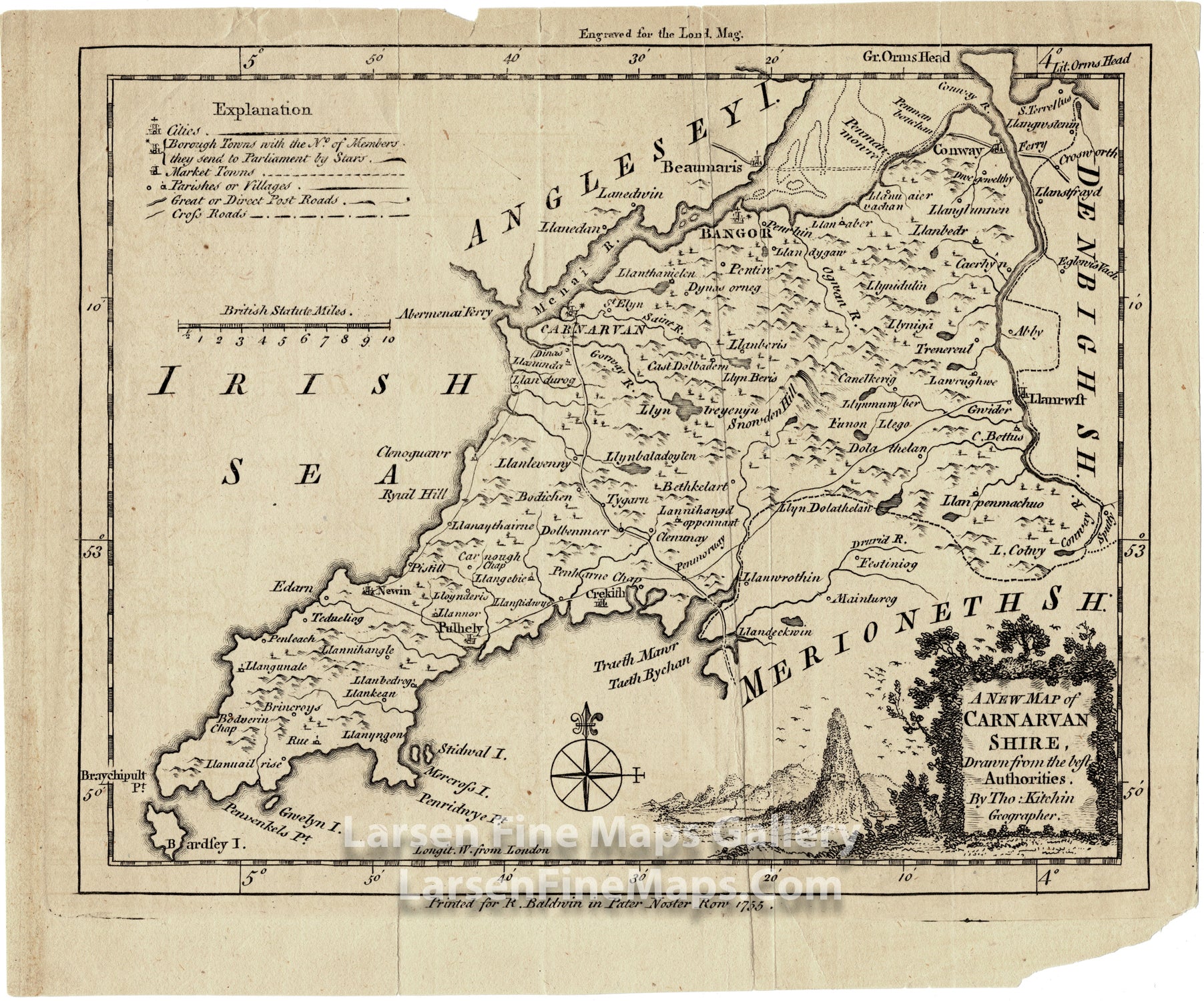
A New Map of Carnarvan Shire Drawn from the best Authorities
DESCRIPTION
Map plate from the London Magazine published in 1755, drawn by Thomas Kitchin. There is a nice vignette cartouche lower right, compass rose, legend (Explanation) at top left showing post roads, market towns, and generalized topography indicated by hachures of hills.
FULL TITLE
MAPMAKER/CARTOGRAPHER/AUTHOR
PUBLISHER
PUBLICATION
DIMENSIONS (Inches)
CONDITION
Choose options
DESCRIPTION
FULL TITLE
MAPMAKER/CARTOGRAPHER/AUTHOR
PUBLISHER
PUBLICATION
DIMENSIONS (Inches)
CONDITION
DESCRIPTION
FULL TITLE
MAPMAKER/CARTOGRAPHER/AUTHOR
PUBLISHER
PUBLICATION
DIMENSIONS (Inches)
CONDITION