

YEAR PUBLISHED: 1839
Siege of Deventer 1578
DESCRIPTION
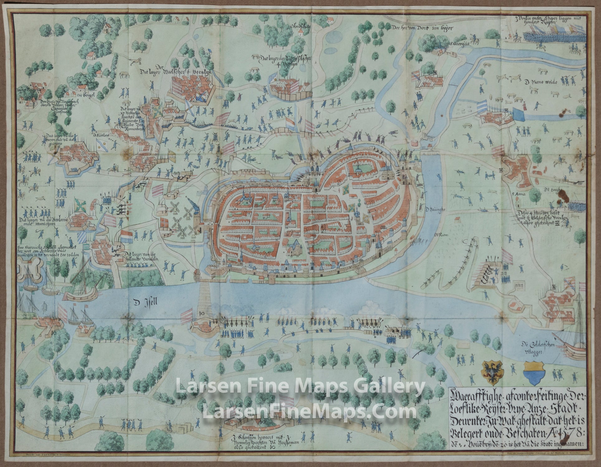
Siege of Deventer by the Count of Rennenberg in 1578. Map from Overijssel Almanac 1839.
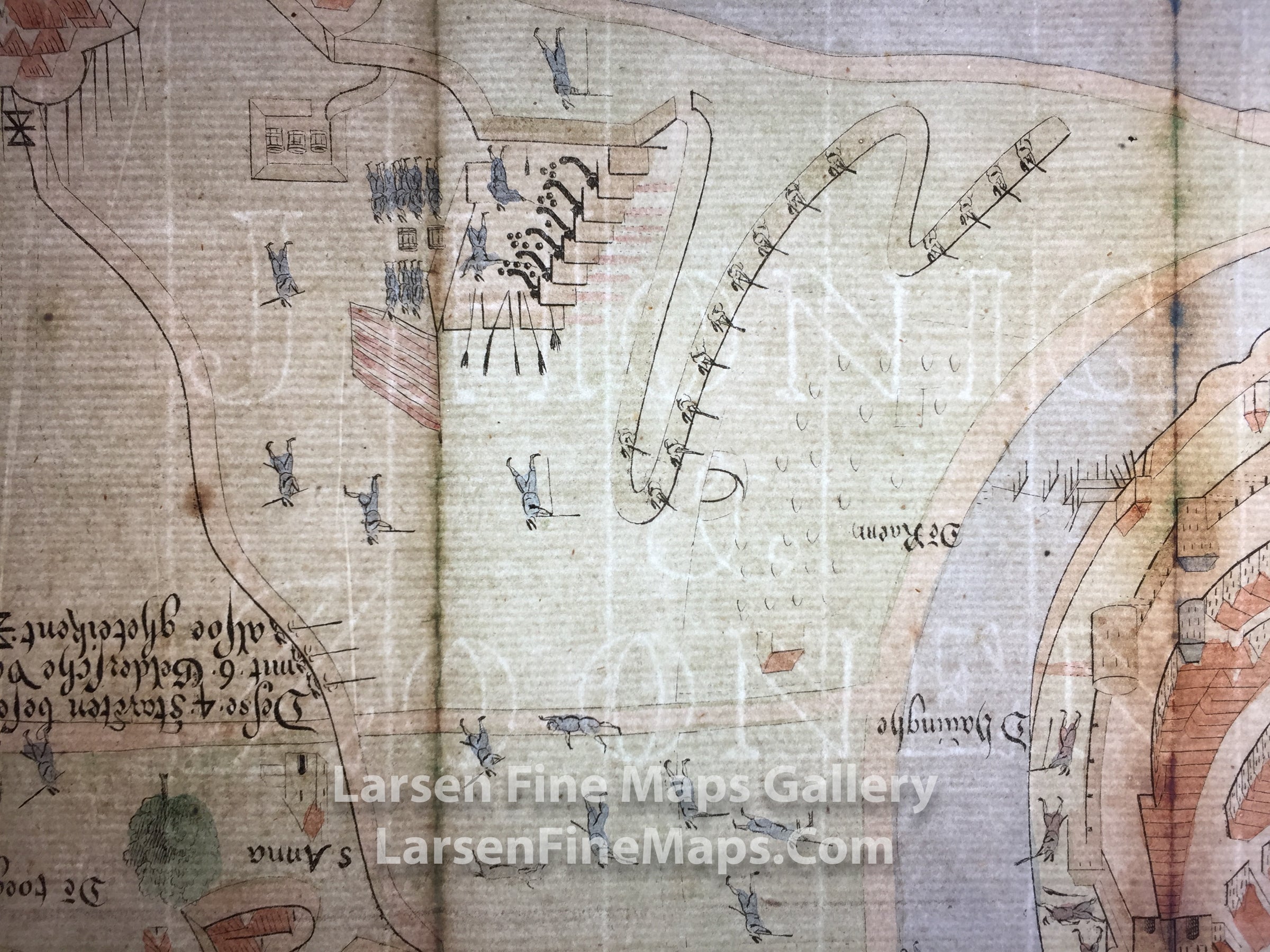
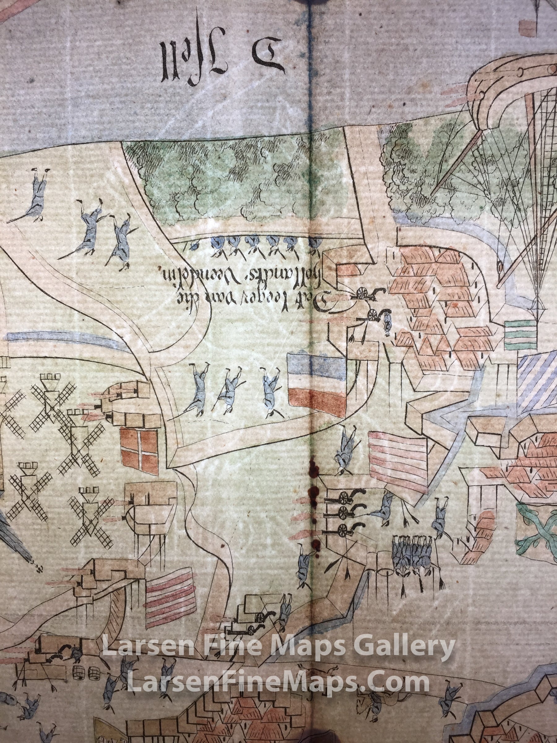
A very nice pictorial map depicting the siege and showing troops, battle positions, fortifications, etc. The map is on laid paper with watermarks from J. Honig & Zoonen (Jan Honig and Zoonen), a firm of papermakers operating in Zaandijk, north of Amsterdam. One watermark is of a heraldic lion standing on a pedestal labeled with "Honig" and the initials JH & Z. The lion is wielding a sword and clutching a bundle of seven darts. This is the symbol of the United Dutch Republics, which lasted from 1654 through 1720. The watermark outlasted the Republic and continued to be used well into the 19th century. The second watermark is the name of the paper mill; "J. Honig & Zoonen".
From Wikipedia:
The Siege of Deventer was a siege of the city of Deventer by States troops under George van Lalaing, Count of Rennenberg, from 3 August to 19 November 1578 during the Eighty Years' War. It was besieged in an attempt by the States-General of the Netherlands better to protect the regions of Holland and Utrecht from Spanish plundering. Since 1572 the city had been held by the German Polweiler-regiment for the Spanish Empire on behalf of Don John of Austria. After Lalaing had put into practice a number of pieces of strategic advice from Johan van den Kornput, the city was prepared to negotiate a surrender and on 19 November 1578 handed itself over to States troops.
FULL TITLE
MAPMAKER/CARTOGRAPHER/AUTHOR
PUBLISHER
PUBLICATION
DIMENSIONS (Inches)
CONDITION
Choose options
DESCRIPTION
FULL TITLE
MAPMAKER/CARTOGRAPHER/AUTHOR
PUBLISHER
PUBLICATION
DIMENSIONS (Inches)
CONDITION
DESCRIPTION
FULL TITLE
MAPMAKER/CARTOGRAPHER/AUTHOR
PUBLISHER
PUBLICATION
DIMENSIONS (Inches)
CONDITION