

YEAR PUBLISHED: 1855
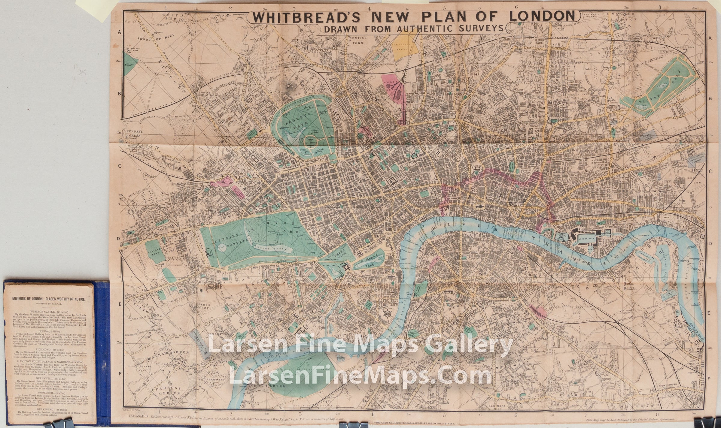
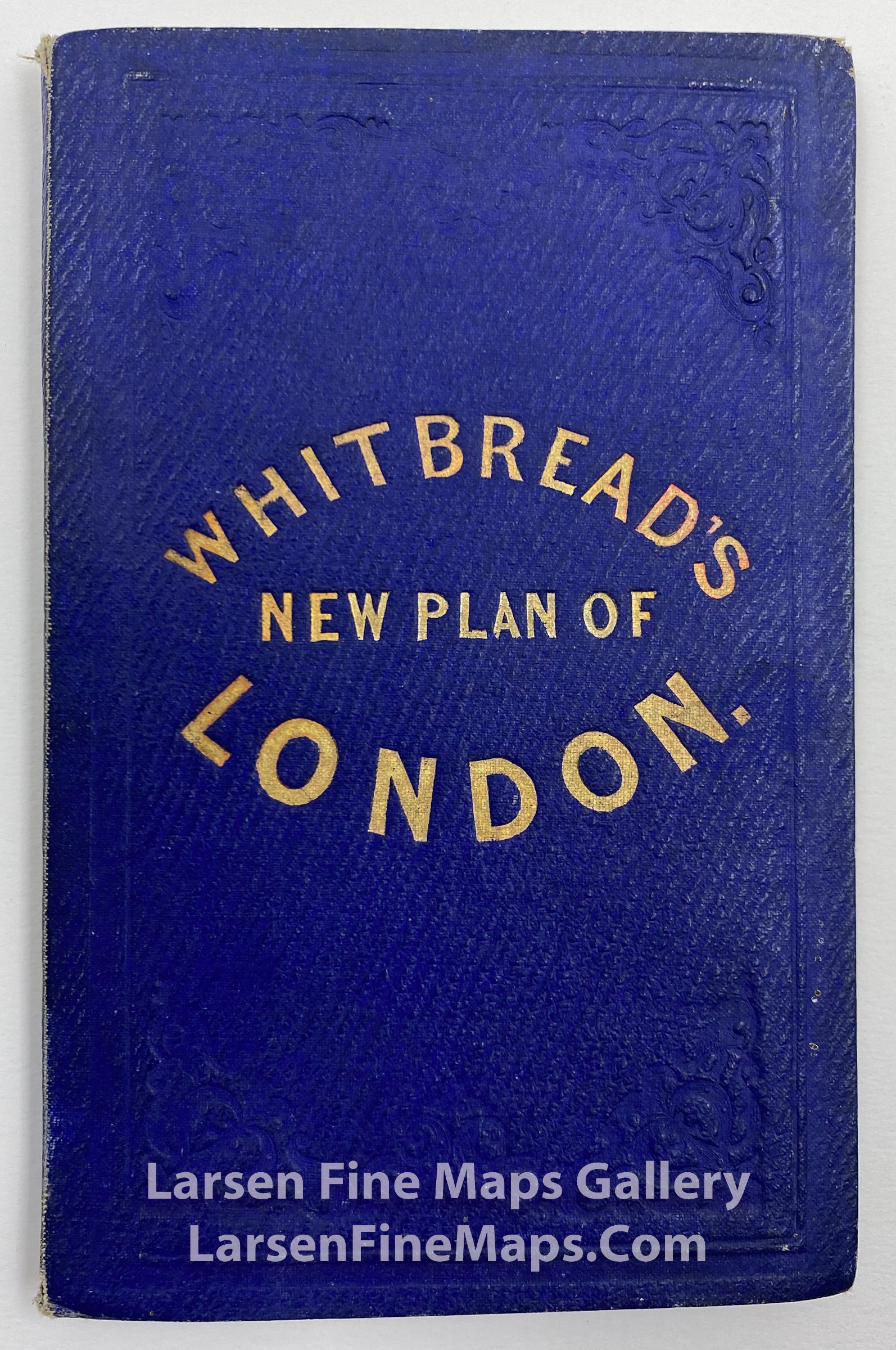
Whitbread's New Plan of London Drawn from Authentic Surveys
DESCRIPTION
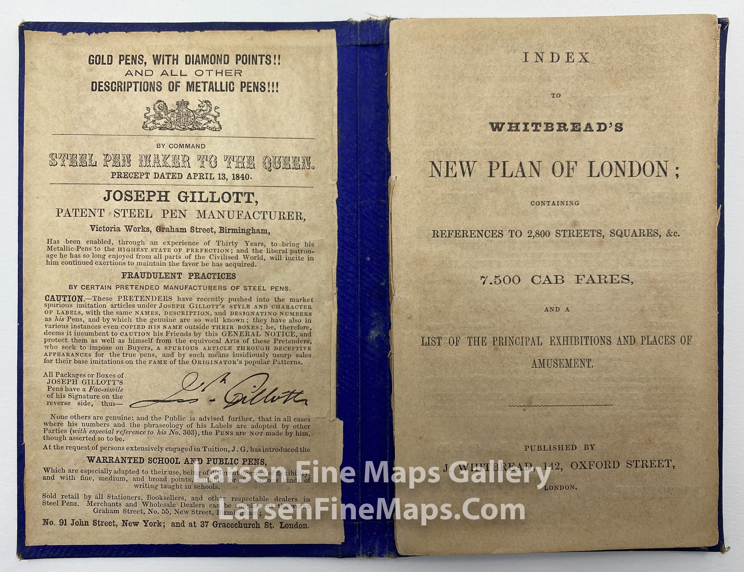
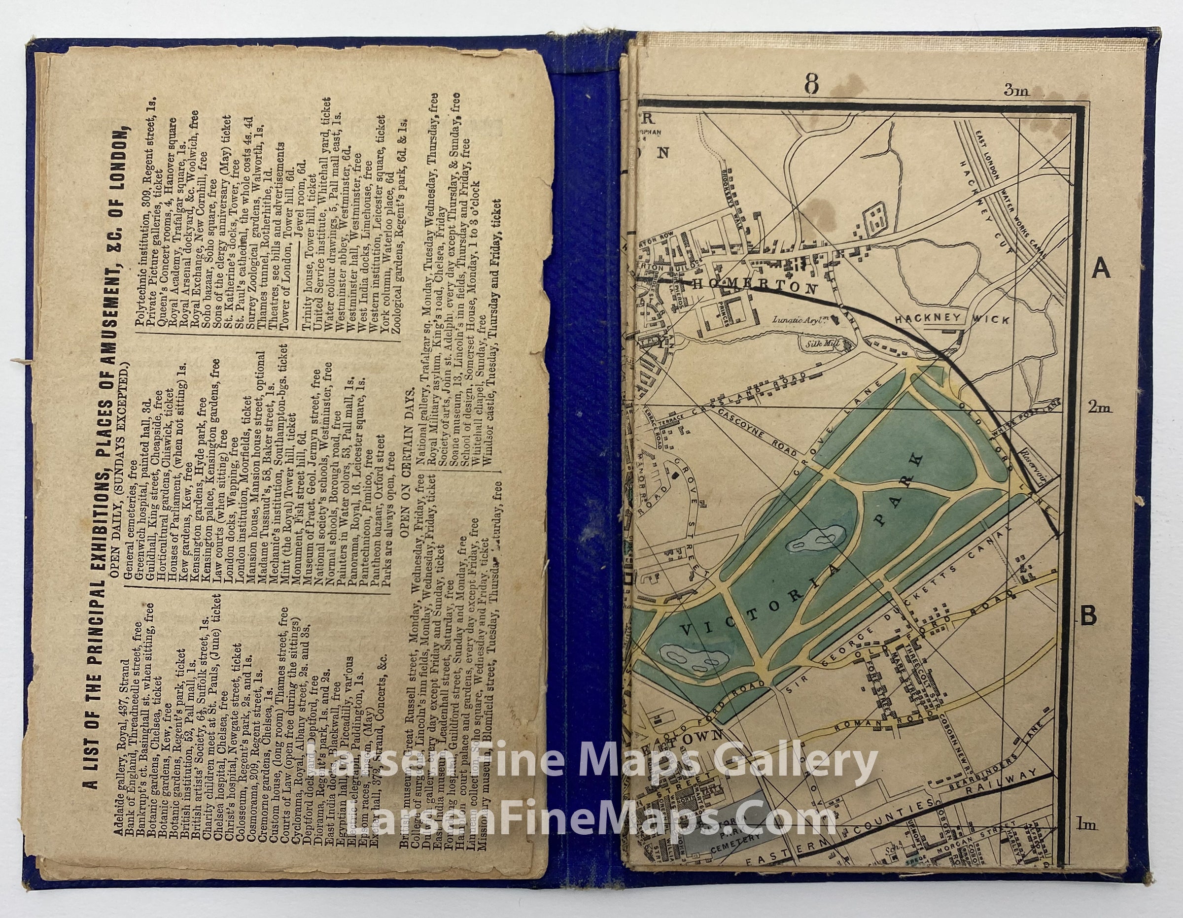
A striking double-line street map showing main roads in yellow, principal buildings in black, other building coverage in gray, and City of London boundary in pink. Date in lower margin: February 26th 1855. Guide book has advertisements, index of streets/locations, railway to-and-from information, places of interest and amusement etc. Some pages and/or sections loose from binding.
Plan of London from Kensall Green in the west to Tower Hamlets in the east. Kentish Town in the north to Denmark Hill in the South. Originally drawn in 1851.
FULL TITLE
MAPMAKER/CARTOGRAPHER/AUTHOR
PUBLISHER
PUBLICATION
DIMENSIONS (Inches)
CONDITION
Choose options
DESCRIPTION
FULL TITLE
MAPMAKER/CARTOGRAPHER/AUTHOR
PUBLISHER
PUBLICATION
DIMENSIONS (Inches)
CONDITION
DESCRIPTION
FULL TITLE
MAPMAKER/CARTOGRAPHER/AUTHOR
PUBLISHER
PUBLICATION
DIMENSIONS (Inches)
CONDITION