YEAR PUBLISHED:1831
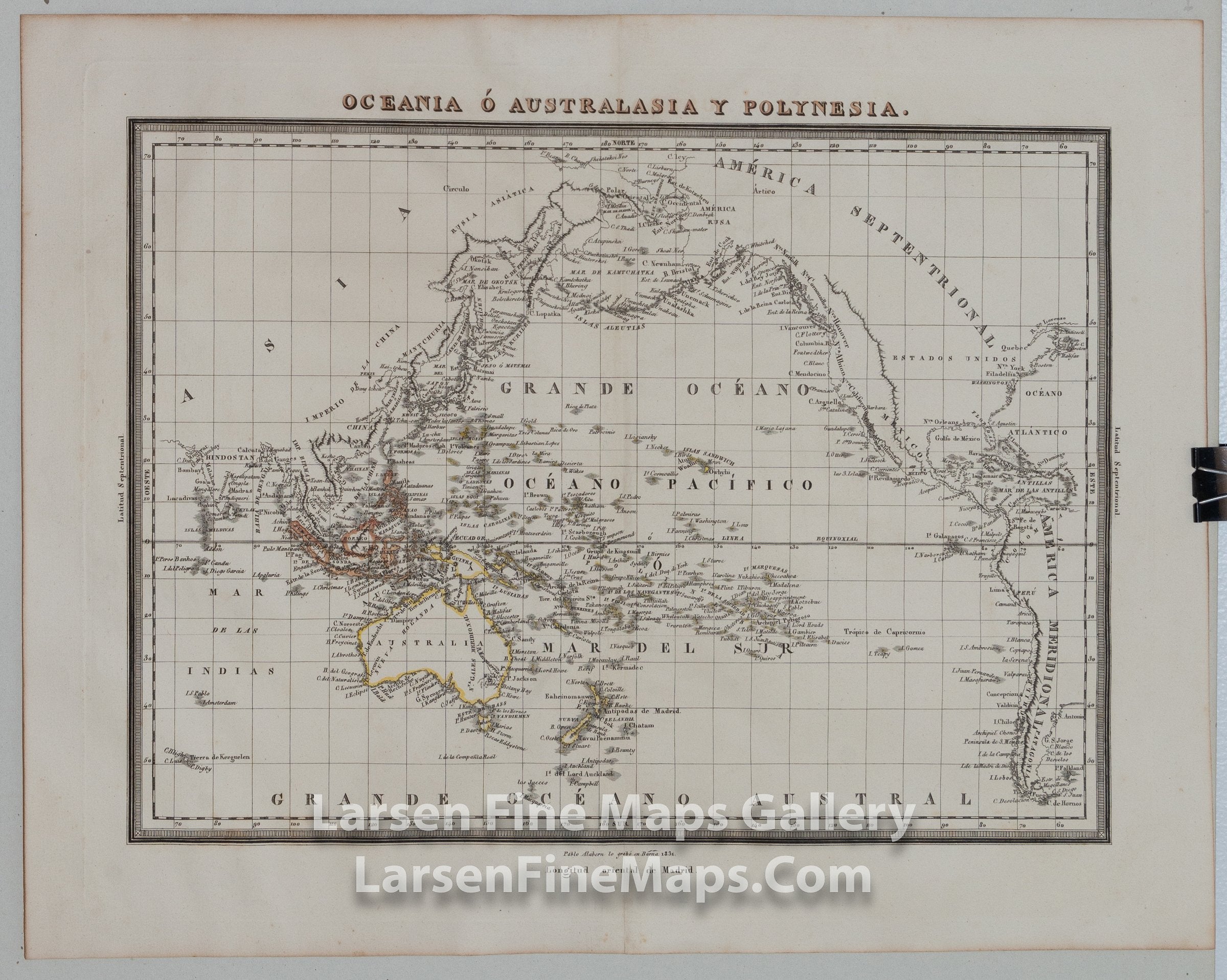
Oceania O Australasia Y Polynesia
DESCRIPTION
A very nice and rare Spanish map of the Pacific Ocean, Oceania, Polynesia, and Australasia. The map actually is almost a world map that extends from India to the east coast of the United States. Place names and ports are shown with nice coastal detail and original hand coloring of some borders and islands. Coastline details/ports primarily. This map was originally published in an Atlas to accompany Diccionario Geogr‡fico Universal, 1830-1834. Map engraved by Pablo Alabern.
FULL TITLE
MAPMAKER/CARTOGRAPHER/AUTHOR
PUBLISHER
PUBLICATION
DIMENSIONS (Inches)
CONDITION
Choose options
DESCRIPTION
FULL TITLE
MAPMAKER/CARTOGRAPHER/AUTHOR
PUBLISHER
PUBLICATION
DIMENSIONS (Inches)
CONDITION
DESCRIPTION
FULL TITLE
MAPMAKER/CARTOGRAPHER/AUTHOR
PUBLISHER
PUBLICATION
DIMENSIONS (Inches)
CONDITION