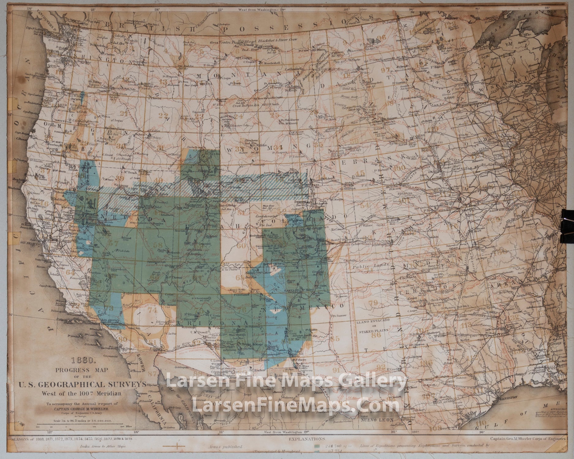
1880 Progress Map Of The U.S. Geographical Surveys West Of The 100th Meridian, Wheeler

YEAR PUBLISHED: 1880

1880 Progress Map Of The U.S. Geographical Surveys West Of The 100th Meridian

Sale price$0.00
Sold out
SKU: 404

DESCRIPTION

Map of the West showing geologic mapping areas and status of the mapping. Nice map.

FULL TITLE

1880 Progress Map Of The U.S. Geographical Surveys West Of The 100th Meridian. To accompany the Annual report of Captain George M. Wheeler Corps Of Engineers, U.S. Army in Charge. West Of The One Hundredth Meridian. Seasons of 1869, 1871, 1872, 1873, 1874, 1875, 1876, 1877, 1878 & 1879. Captain Geo. M. Wheeler. Corps Of Engineers, U.S. Army in charge. United States Geographical Surveys.

MAPMAKER/CARTOGRAPHER/AUTHOR

Captain George M. Wheeler

PUBLISHER

Corps of Engineers U.S. Army, Washington: U.S.

PUBLICATION

Topographical Atlas Projected To Illustrate United States Geographical Surveys West Of The 100th Meridian Of Longitude Prosecuted In Accordance With Acts Of Congress Under The Authority Of The Honorable The Secretary Of War, And The Direction Of Brig. Genl. A.A. Humphreys, Chief Of Engineers, U.S. Army. Embracing Results Of the Different Expeditions Under The Command Of 1st Lieut. Geo. M. Wheeler, Corps Of Engineers. Julius Bien, lith. (with) Geological Atlas Projected To Illustrate Geographical Explorations And Surveys West Of The 100th Meridian Of Longitude ... Julius Bien, lith. (1876-1881)

DIMENSIONS (Inches)

22.5 X 18.5

CONDITION

Map has been trimmed for previous framing. Stained, foxing, browning. Linen backed.