YEAR PUBLISHED: 1849
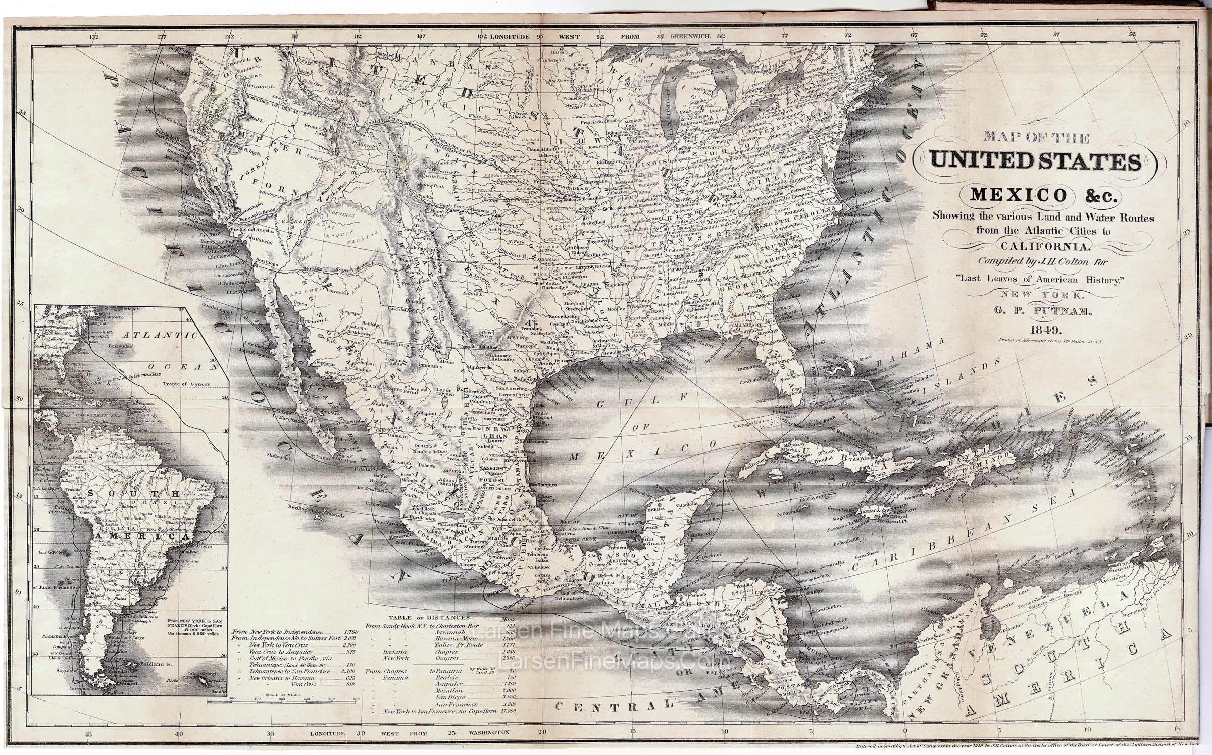
Map of The United States Mexico &c. Showing the Various Land and Water Routes from the Atlantic Cities to California
DESCRIPTION
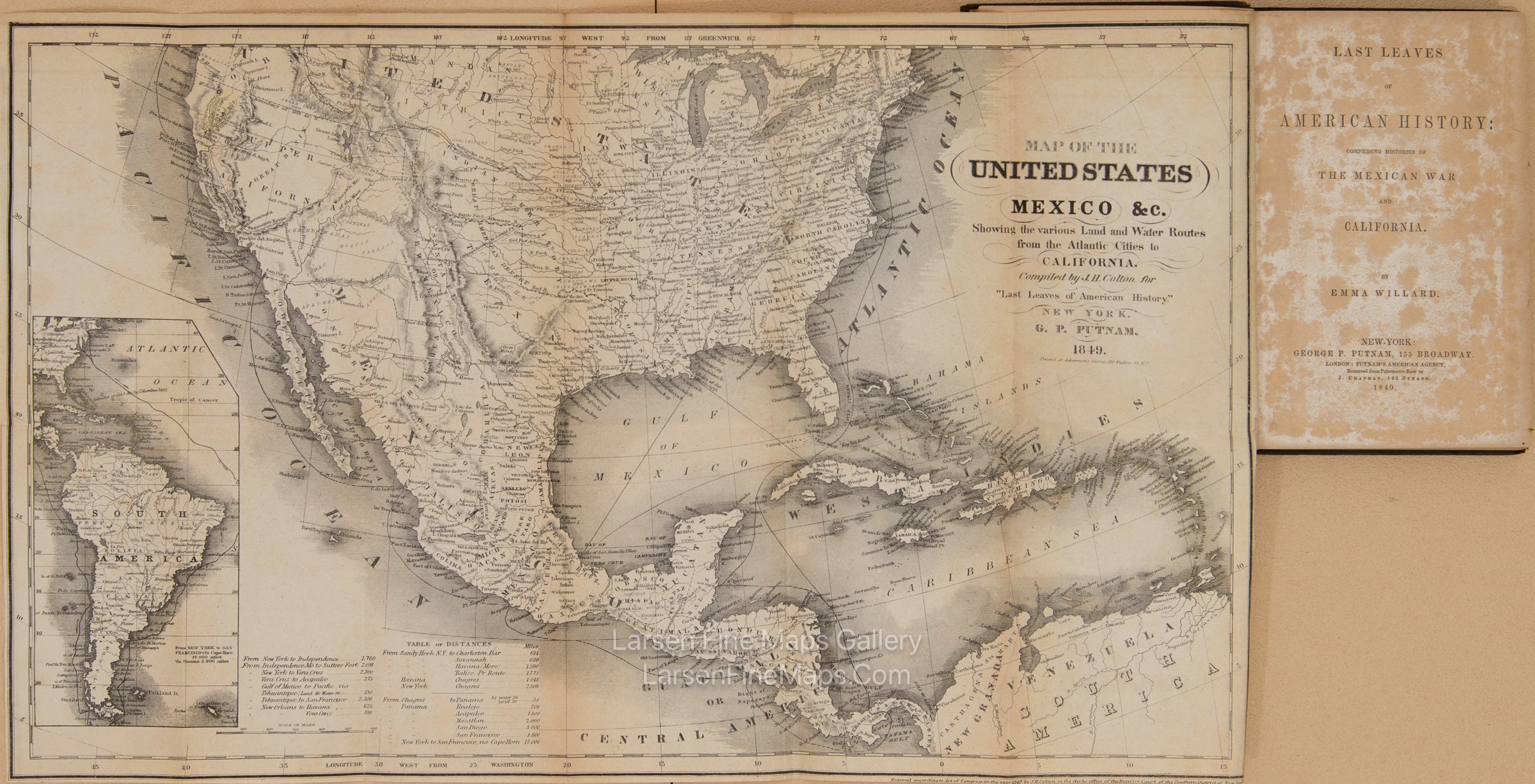
Folded map showing route details. Inset of South America map. Shows Central America and the Caribbean Sea.
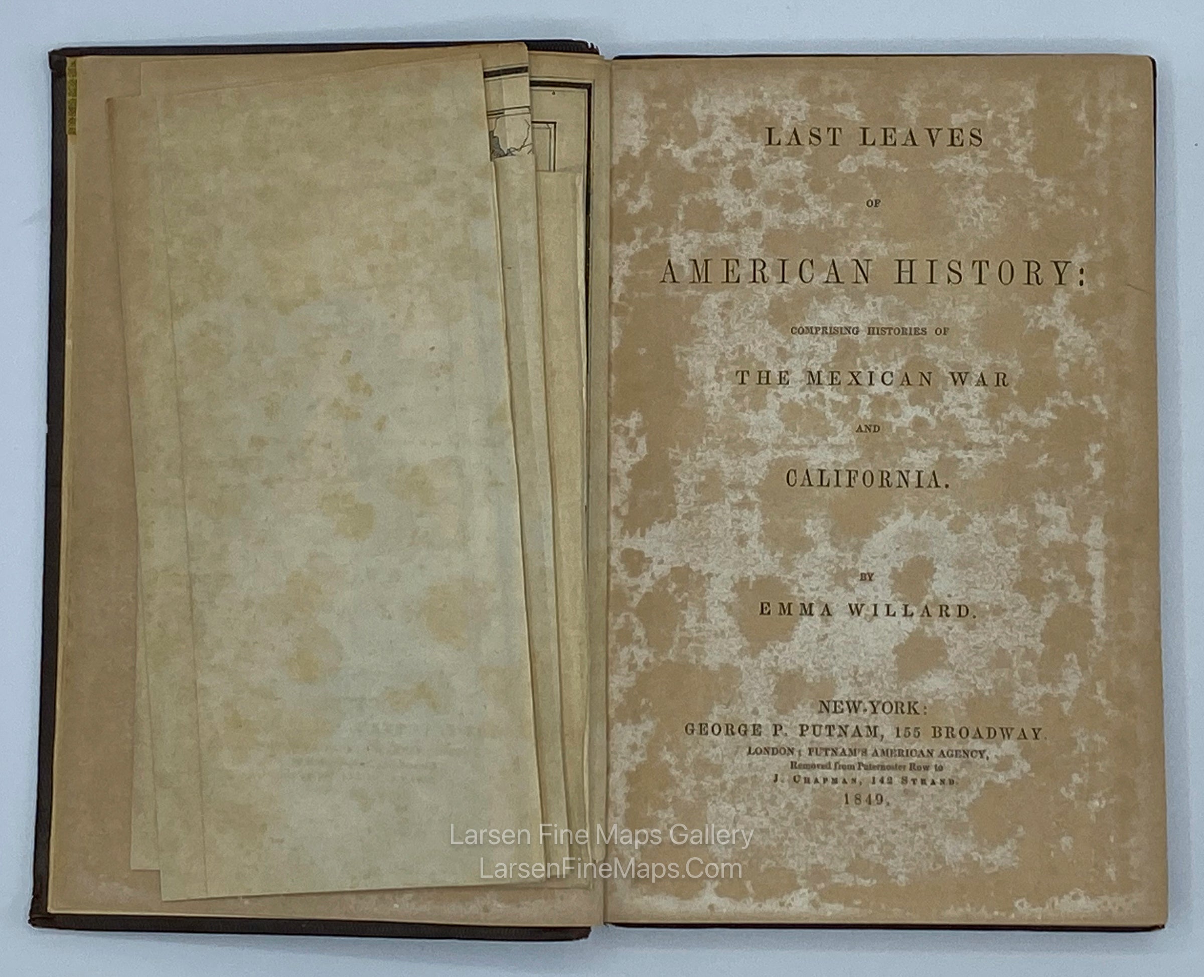
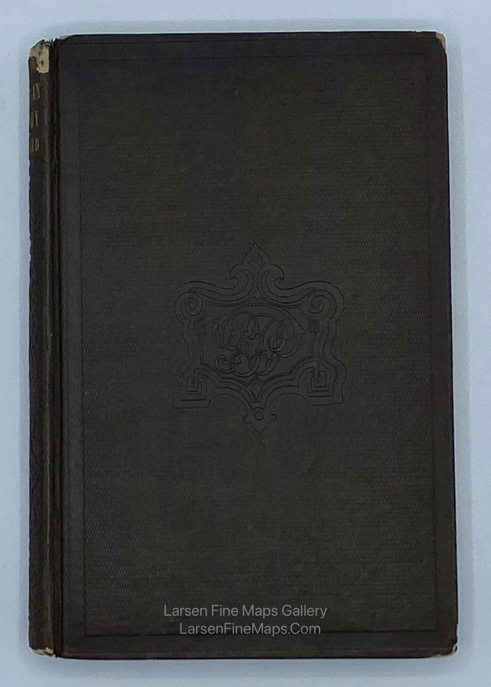
Map is included and attached to; "Last Leaves of American History: Comprising Histories of The Mexican War and California", Willard, Emma. 1849.
An Early Map showing Routes to the Gold Diggings with the Gold Region labeled and colored in a faint yellow.
Scarce map of the United States, illustrating the routes to the Gold Regions of California, which are quite erroneously colored and shown a bit far to the north of their actual locations
The map illustrates a number of the primary routes to the gold regions, including:
- A water route via Panama, with an overland crossing of the Isthmus.
- Kearny's Route via San Diego (allowing for a connection by boat to San Francisco)
- Fremont's Route via Southern California (passing below the Sierra Nevada mountain from the east and then northward to Nueva Helvetia (Sutter's Fort)).
- A route from the south end of Utah Lake across the Great Basin.
- Oregon Trail Route (proceeding southward into California via Tlamath Lake, the Great Boiling Spring, and Pyramid Lake (with a wishful extension of the Sacramento River suggesting a rouge by water from just east of Tlamath Lake).
A massive Tule Lake appears in the Central Valley.
The map is also noteworthy for the many Indian Tribes illustrated in the West.
The book:
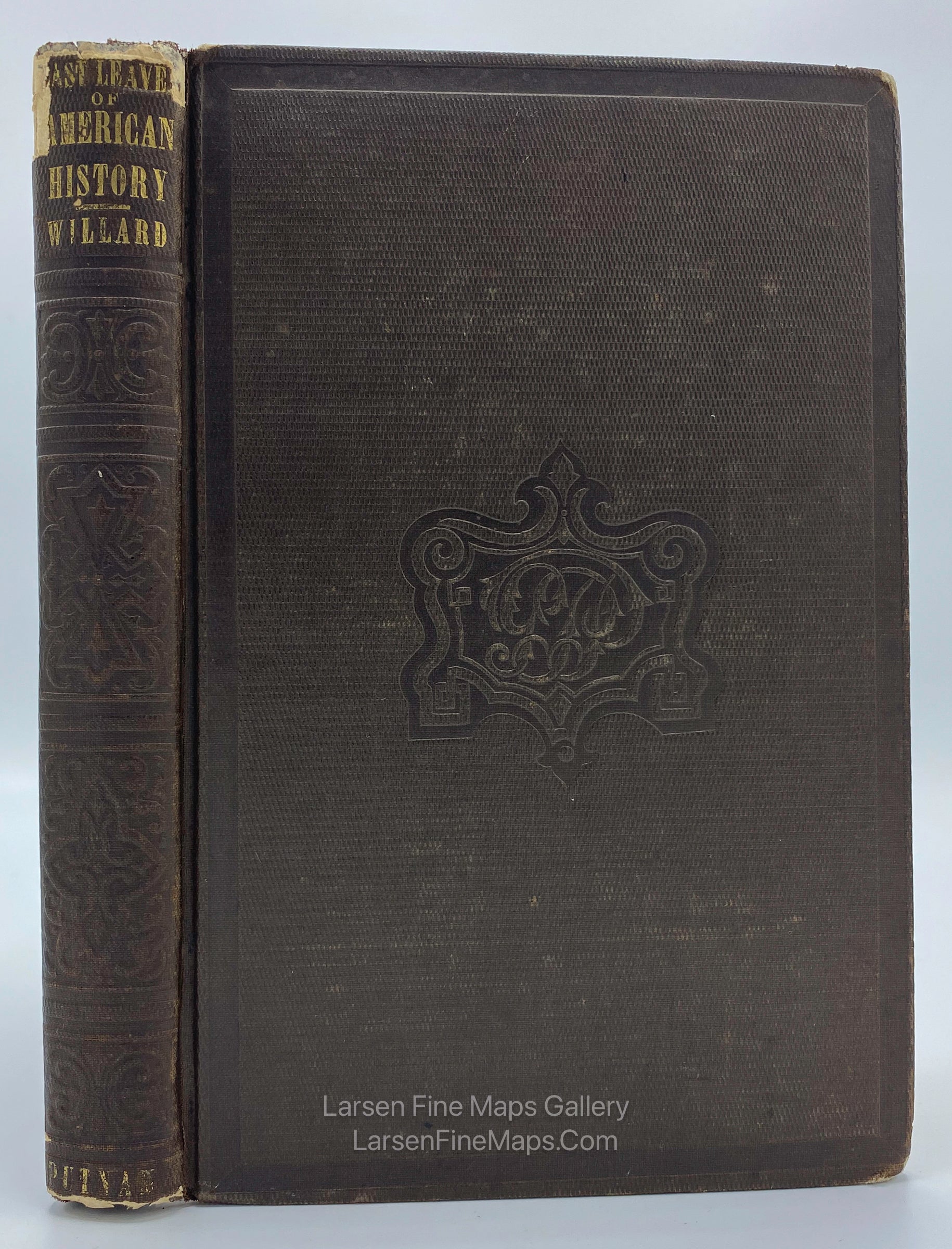
230 + [10] ad pp. Folding lithographed map. (8vo) 18.8x12 cm (7½x4¾"), original blind-stamped cloth. First Edition. The folding map is: of the United States Mexico Etc. Showing the various Land and Water Routes from the Atlantic Cities to California..."
FULL TITLE
MAPMAKER/CARTOGRAPHER/AUTHOR
PUBLISHER
PUBLICATION
DIMENSIONS (Inches)
CONDITION
Choose options

DESCRIPTION
FULL TITLE
MAPMAKER/CARTOGRAPHER/AUTHOR
PUBLISHER
PUBLICATION
DIMENSIONS (Inches)
CONDITION
DESCRIPTION
FULL TITLE
MAPMAKER/CARTOGRAPHER/AUTHOR
PUBLISHER
PUBLICATION
DIMENSIONS (Inches)
CONDITION