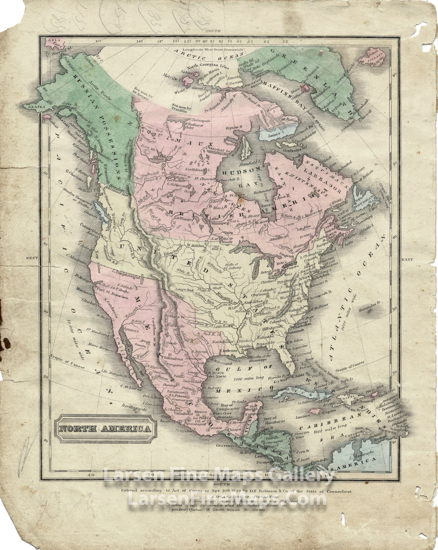
YEAR PUBLISHED: 1829
North America by D.F. Robinson & Co.
DESCRIPTION
A colorful atlas map of North America, showing Russian Possessions, the "54-40 or Fight" border with British America that was the basis for James. K. Polk's presidential campaign and subsequent win. The map shows Mexico in possession of California, Texas, and other parts of the Southwest.
FULL TITLE
MAPMAKER/CARTOGRAPHER/AUTHOR
PUBLISHER
PUBLICATION
DIMENSIONS (Inches)
CONDITION
Choose options
DESCRIPTION
FULL TITLE
MAPMAKER/CARTOGRAPHER/AUTHOR
PUBLISHER
PUBLICATION
DIMENSIONS (Inches)
CONDITION
DESCRIPTION
FULL TITLE
MAPMAKER/CARTOGRAPHER/AUTHOR
PUBLISHER
PUBLICATION
DIMENSIONS (Inches)
CONDITION