YEAR PUBLISHED: 1837
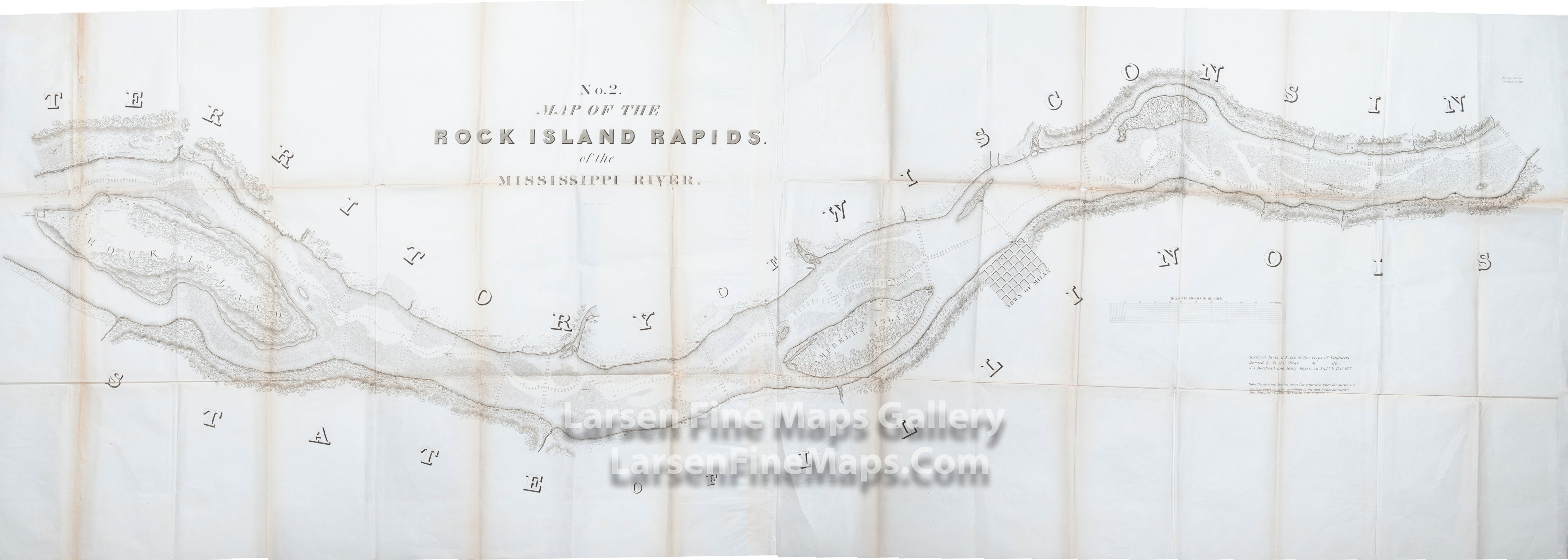
No. 2. Map of the Rock Island Rapids of the Mississippi River
DESCRIPTION
Long folded map as issued. This map was based on the surveys undertaken in the autumn of 1837 by future Confederate General Robert E. Lee, along with the military engineer corps assigned to him. The Rock Island Rapids are on the Mississippi River located near the city of Milan, Illinois. At the time of mapping, Wisconsin was still a territory. Some details such as individual buildings and farms with names of their owners, settlements and stores located alongside the river are shown.
FULL TITLE
MAPMAKER/CARTOGRAPHER/AUTHOR
PUBLISHER
PUBLICATION
DIMENSIONS (Inches)
CONDITION
Choose options
DESCRIPTION
FULL TITLE
MAPMAKER/CARTOGRAPHER/AUTHOR
PUBLISHER
PUBLICATION
DIMENSIONS (Inches)
CONDITION
DESCRIPTION
FULL TITLE
MAPMAKER/CARTOGRAPHER/AUTHOR
PUBLISHER
PUBLICATION
DIMENSIONS (Inches)
CONDITION