YEAR PUBLISHED: 1798
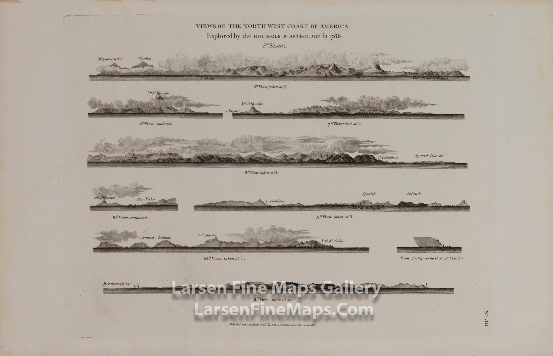
Views of NW Coast of America explored by the Boussole & Astrolabe, Sht-2
DESCRIPTION
Seven engraved coastal elevation views of the North West Coast of America explored by Jean François Galaup de La Pérouse in his frigates the Boussole & Astrolabe in 1786. This plate is sheet 2 of 3 in the set and includes Views 6 through 11. Note: some views are "continued" on the next line which gives the appearance that there are nine views here.
FULL TITLE
MAPMAKER/CARTOGRAPHER/AUTHOR
PUBLISHER
PUBLICATION
DIMENSIONS (Inches)
CONDITION
Choose options
DESCRIPTION
FULL TITLE
MAPMAKER/CARTOGRAPHER/AUTHOR
PUBLISHER
PUBLICATION
DIMENSIONS (Inches)
CONDITION
DESCRIPTION
FULL TITLE
MAPMAKER/CARTOGRAPHER/AUTHOR
PUBLISHER
PUBLICATION
DIMENSIONS (Inches)
CONDITION