YEAR PUBLISHED: 1949
The Top of The World
DESCRIPTION
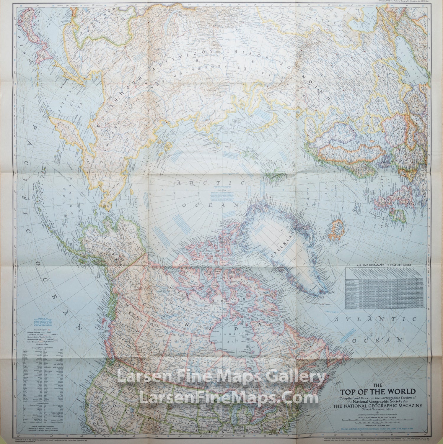
Large folding map of the Northern Hemisphere.
In the October 1949 issue of National Geographic, there were five articles related to polar exploration. The Top of the World map, first published in October of 1949, offers a truly unique view that features the Arctic Polar Region at its center. This beautiful map is both a cartographic masterpiece and a fresh look at the world.
FULL TITLE
MAPMAKER/CARTOGRAPHER/AUTHOR
PUBLISHER
PUBLICATION
DIMENSIONS (Inches)
CONDITION
Choose options
DESCRIPTION
FULL TITLE
MAPMAKER/CARTOGRAPHER/AUTHOR
PUBLISHER
PUBLICATION
DIMENSIONS (Inches)
CONDITION
DESCRIPTION
FULL TITLE
MAPMAKER/CARTOGRAPHER/AUTHOR
PUBLISHER
PUBLICATION
DIMENSIONS (Inches)
CONDITION