YEAR PUBLISHED: 1855
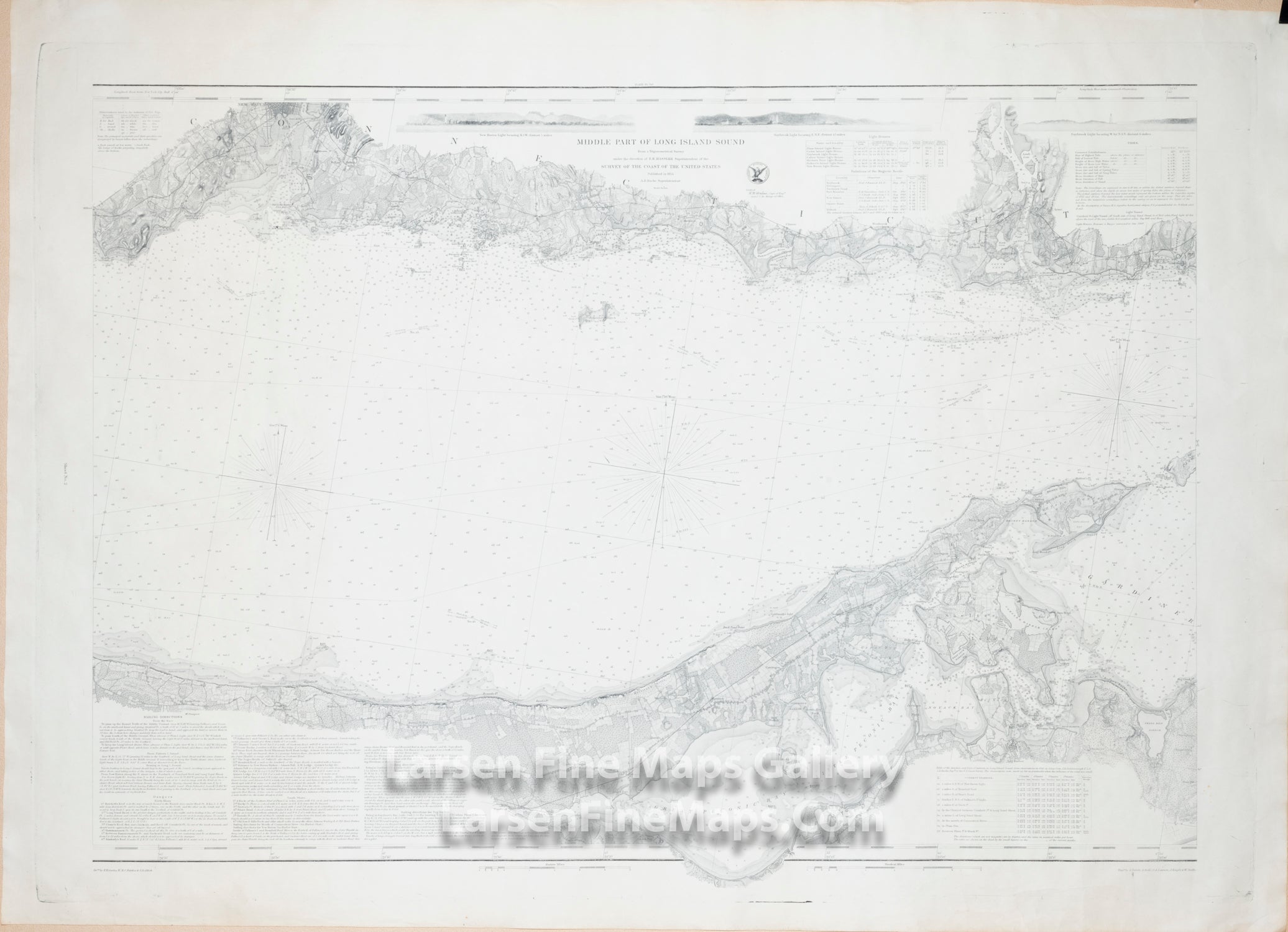
Middle Part of Long Island Sound
DESCRIPTION
Very detailed chart of the Middle Part of Long Island Sound. Chart shows great details from Welch's Point or Cedar Point near New Haven, Connecticut to just beyond Hatchett's Point and Pattaquansett River, Connecticut. The chart series shows superb inland detail including roads, properties, buildings, ponds, lagoons, topography (hachures), rivers, creeks, vegetation, towns, cities, railroads and locations. Great navigational details are also given in the sound with numerous depth soundings, bottom conditions, tidal currents, channels, ranges, bearings, lighthouses, aids and hazards to mariners, detailed sailing directions, dangers and other notes to the mariner. Also included are 3 nice elevation views of various stretches of coastline.
Rare map on heavy paper. Part 3 of a 3 maps set. Engraved by S. Siebert, A. Rolle, J. Knight, W. Smith.
FULL TITLE
MAPMAKER/CARTOGRAPHER/AUTHOR
PUBLISHER
PUBLICATION
DIMENSIONS (Inches)
CONDITION
Choose options
DESCRIPTION
FULL TITLE
MAPMAKER/CARTOGRAPHER/AUTHOR
PUBLISHER
PUBLICATION
DIMENSIONS (Inches)
CONDITION
DESCRIPTION
FULL TITLE
MAPMAKER/CARTOGRAPHER/AUTHOR
PUBLISHER
PUBLICATION
DIMENSIONS (Inches)
CONDITION