YEAR PUBLISHED: 1852
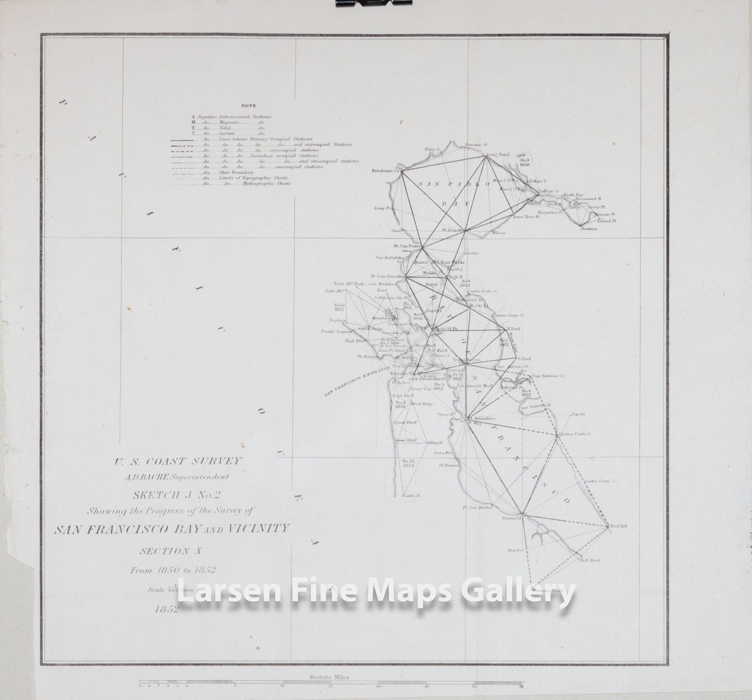
Sketch J No. 2 Showing the Progress of Survey of San Francisco Bay and Vicinity, Section X 1850 to 1852
DESCRIPTION
Triangulation chart of San Francisco Bay, California. Shows the progress of the survey work in this area by date annotated sections. Shows San Pablo Bay, the Entrance to San Francisco BaY (Golden Gate), California City, San Quentin, San Francisco, Presidio Hill and Lime Point Bluff, mountains and points used in the triangulations. Details the grid layout of San Francisco city.
This edition has the title and date located on the lower left but not tight to the bottom corner. Other variants have these printed tight to the bottom left of the page.
IMPORTANT NOTE:
All of our United States Coast Survey (USCS), United States Coast & Geodetic Survey (USC&GS), and similar maps and charts have been professionally unfolded and flattened using humidity baths, semi-permeable membrane, and drying blotter techniques. Most others you typically see on eBay have not been, and worse, are quickly and crudely unfolded for the low-quality photos you see. Unfolding these maps in that way is damaging and weakens them. Please be aware.
FULL TITLE
MAPMAKER/CARTOGRAPHER/AUTHOR
PUBLISHER
PUBLICATION
DIMENSIONS (Inches)
CONDITION
Choose options

DESCRIPTION
FULL TITLE
MAPMAKER/CARTOGRAPHER/AUTHOR
PUBLISHER
PUBLICATION
DIMENSIONS (Inches)
CONDITION
DESCRIPTION
FULL TITLE
MAPMAKER/CARTOGRAPHER/AUTHOR
PUBLISHER
PUBLICATION
DIMENSIONS (Inches)
CONDITION