YEAR PUBLISHED: 1852
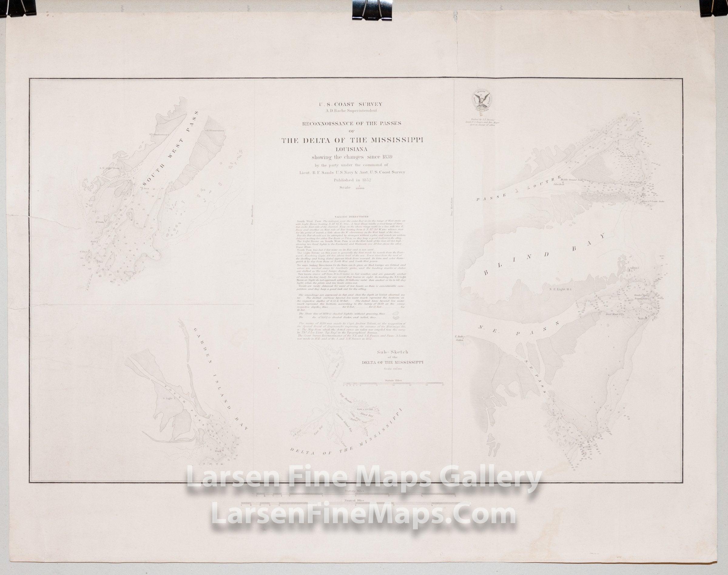
Reconnaissance of the Passes of The Delta of The Mississippi Louisiana
DESCRIPTION
Triangulation chart of the Passes of The Delta of The Mississippi. There are four inset maps showing details of the individual passes: First is the Southwest Pass entrance to the Mississippi. The second details South Pass and Garden Island Bay. The third shows the Delta as a whole. Inset four shows Passe a Loutre, Blind Pay, and North East Pass. Shows the locations of lighthouses, shoals, depth soundings, channels, bearings, aids, and hazards to navigation, buoys, etc. Detailed sailing instructions and notes are given as well.
This is a separately issued rare heavy paper issue.
FULL TITLE
MAPMAKER/CARTOGRAPHER/AUTHOR
PUBLISHER
PUBLICATION
DIMENSIONS (Inches)
CONDITION
Choose options
DESCRIPTION
FULL TITLE
MAPMAKER/CARTOGRAPHER/AUTHOR
PUBLISHER
PUBLICATION
DIMENSIONS (Inches)
CONDITION
DESCRIPTION
FULL TITLE
MAPMAKER/CARTOGRAPHER/AUTHOR
PUBLISHER
PUBLICATION
DIMENSIONS (Inches)
CONDITION