YEAR PUBLISHED: 1852
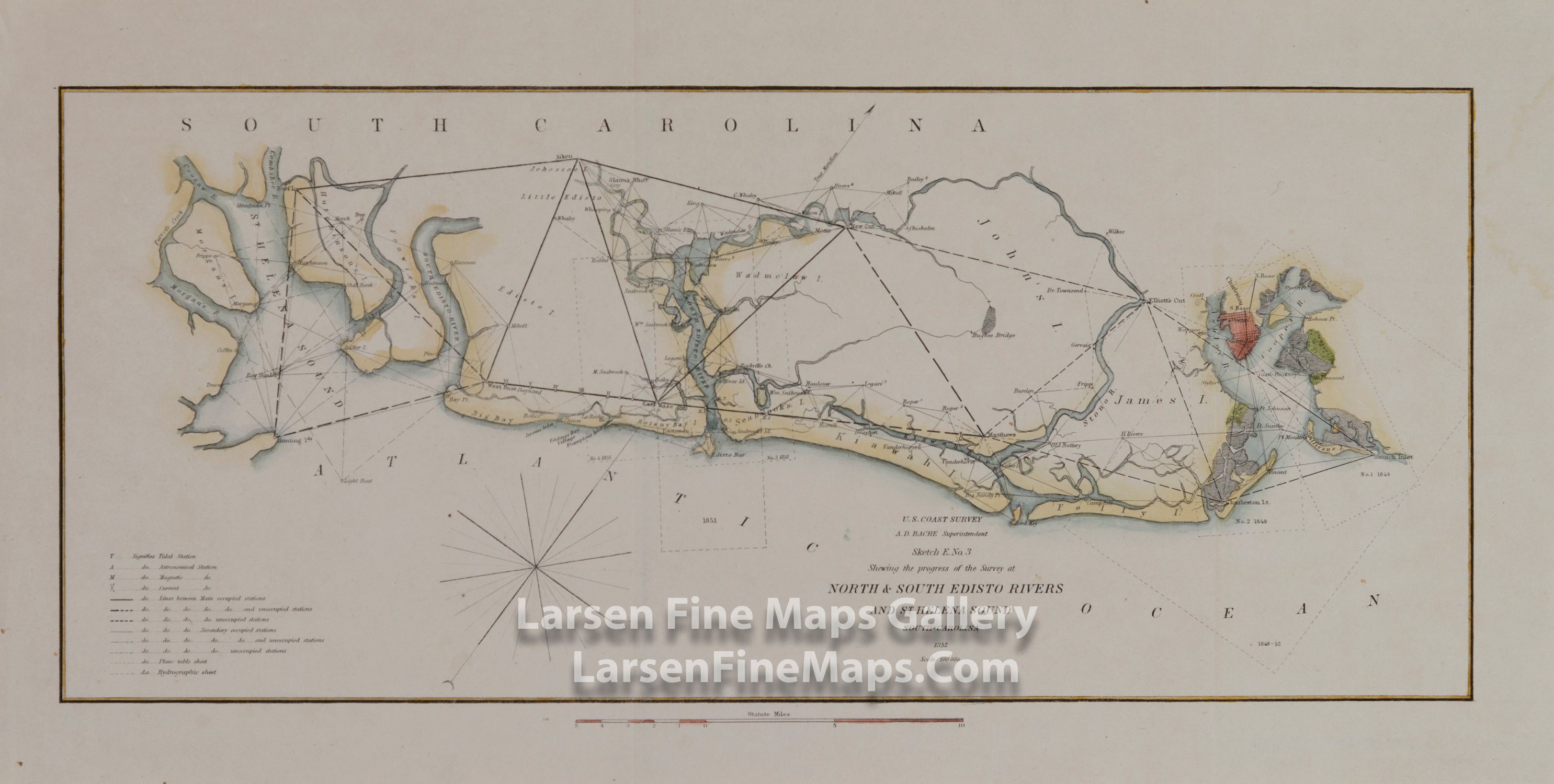
Sketch E. No. 3 North & South Edisto & St. Helena Sound South Carolina
DESCRIPTION
Triangulation chart of the Coast of South Carolina between St. Helena's Sound and Charleston. Details inlets and waterways on John's Island, James Island, Wadmelaw Island and Edisto Island. Shows the City of Charleston, North Edisto River and South Edisto River.
This has been beautifully hand colored and would be a fabulous framed piece.
FULL TITLE
MAPMAKER/CARTOGRAPHER/AUTHOR
PUBLISHER
PUBLICATION
DIMENSIONS (Inches)
CONDITION
Choose options
DESCRIPTION
FULL TITLE
MAPMAKER/CARTOGRAPHER/AUTHOR
PUBLISHER
PUBLICATION
DIMENSIONS (Inches)
CONDITION
DESCRIPTION
FULL TITLE
MAPMAKER/CARTOGRAPHER/AUTHOR
PUBLISHER
PUBLICATION
DIMENSIONS (Inches)
CONDITION