YEAR PUBLISHED: 1804
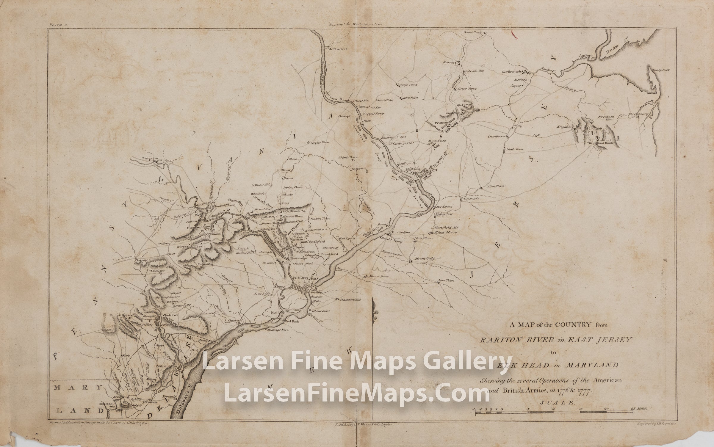
A MAP of the COUNTRY from RARITON RIVER in EAST JERSEY to ELK HEAD in MARYLAND Showing the several Operations of the American and British Armies, in 1776 & 1777
DESCRIPTION
A very interesting copper engraved map showing the British and American Revolutionary War battles from Elk Head, Maryland, to Rariton River in East Jersey. The map depicts the area in nice detail showing the locations of forts, towns, rivers, armies, roads and troops. The map is from John Marshall's "The Life of George Washington".
FULL TITLE
MAPMAKER/CARTOGRAPHER/AUTHOR
PUBLISHER
PUBLICATION
DIMENSIONS (Inches)
CONDITION
Choose options

DESCRIPTION
FULL TITLE
MAPMAKER/CARTOGRAPHER/AUTHOR
PUBLISHER
PUBLICATION
DIMENSIONS (Inches)
CONDITION
DESCRIPTION
FULL TITLE
MAPMAKER/CARTOGRAPHER/AUTHOR
PUBLISHER
PUBLICATION
DIMENSIONS (Inches)
CONDITION