YEAR PUBLISHED: 1804
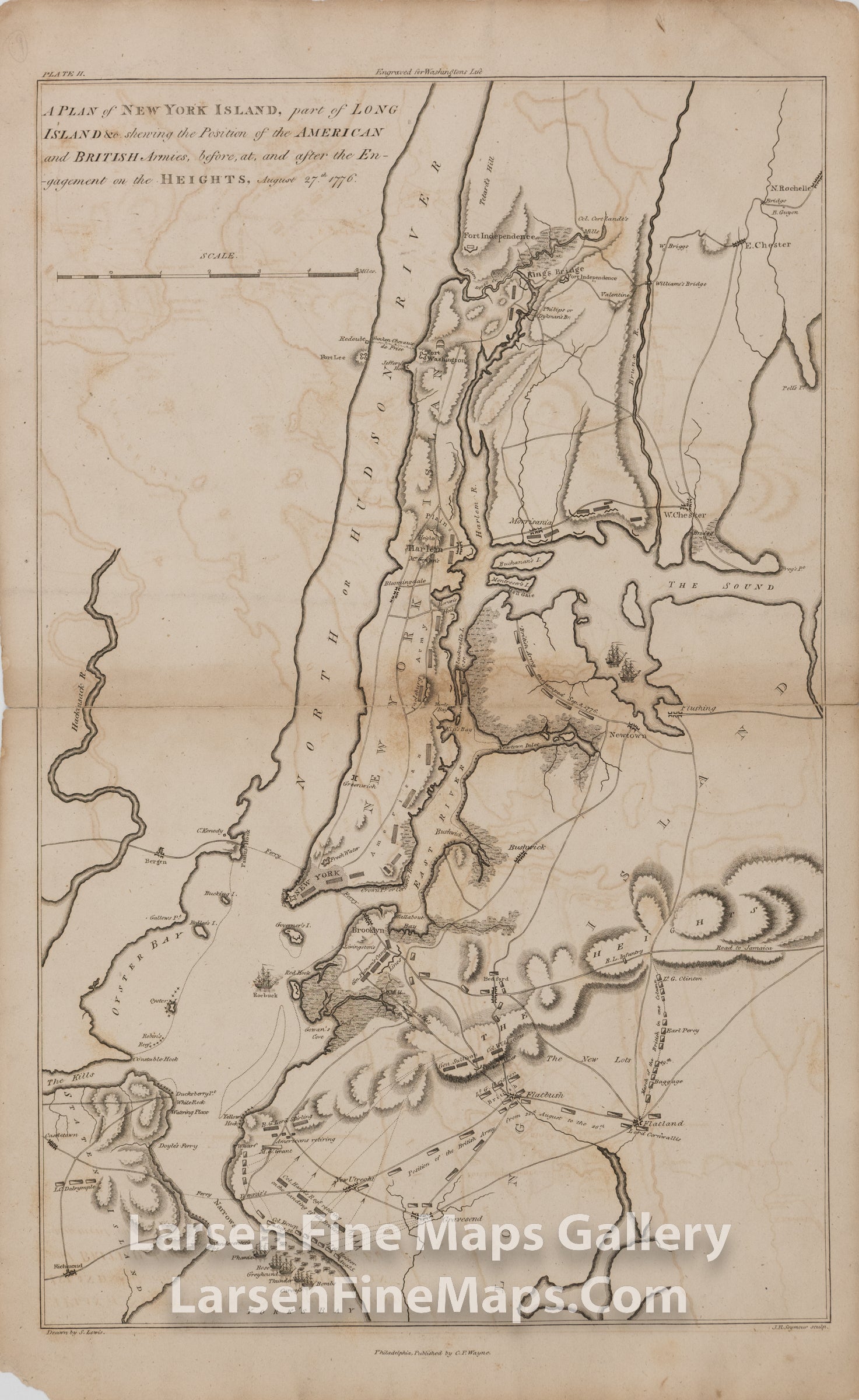
A PLAN of NEW YORK ISLAND, part of LONG ISLAND &c. showing the Position of the AMERICAN and BRITISH Armies, before, at, and after the Engagement on the HEIGHTS, August 27th, 1776
DESCRIPTION
A very interesting copper engraved map showing the British and American Revolutionary War battles in New York and Long Island. The map depicts the area around New York and Long Island from Fort Independence on the Hudson to York's Bay and Gravesend; and from Oyster Bay to the positions of Lord Cornwallis at Flatbush and Flatland. Locations of forts, towns, ships, armies, names of commanders, troop movements are shown in nice detail. The map is from John Marshall's "The Life of George Washington".
FULL TITLE
MAPMAKER/CARTOGRAPHER/AUTHOR
PUBLISHER
PUBLICATION
DIMENSIONS (Inches)
CONDITION
Choose options

DESCRIPTION
FULL TITLE
MAPMAKER/CARTOGRAPHER/AUTHOR
PUBLISHER
PUBLICATION
DIMENSIONS (Inches)
CONDITION
DESCRIPTION
FULL TITLE
MAPMAKER/CARTOGRAPHER/AUTHOR
PUBLISHER
PUBLICATION
DIMENSIONS (Inches)
CONDITION