YEAR PUBLISHED: 1804
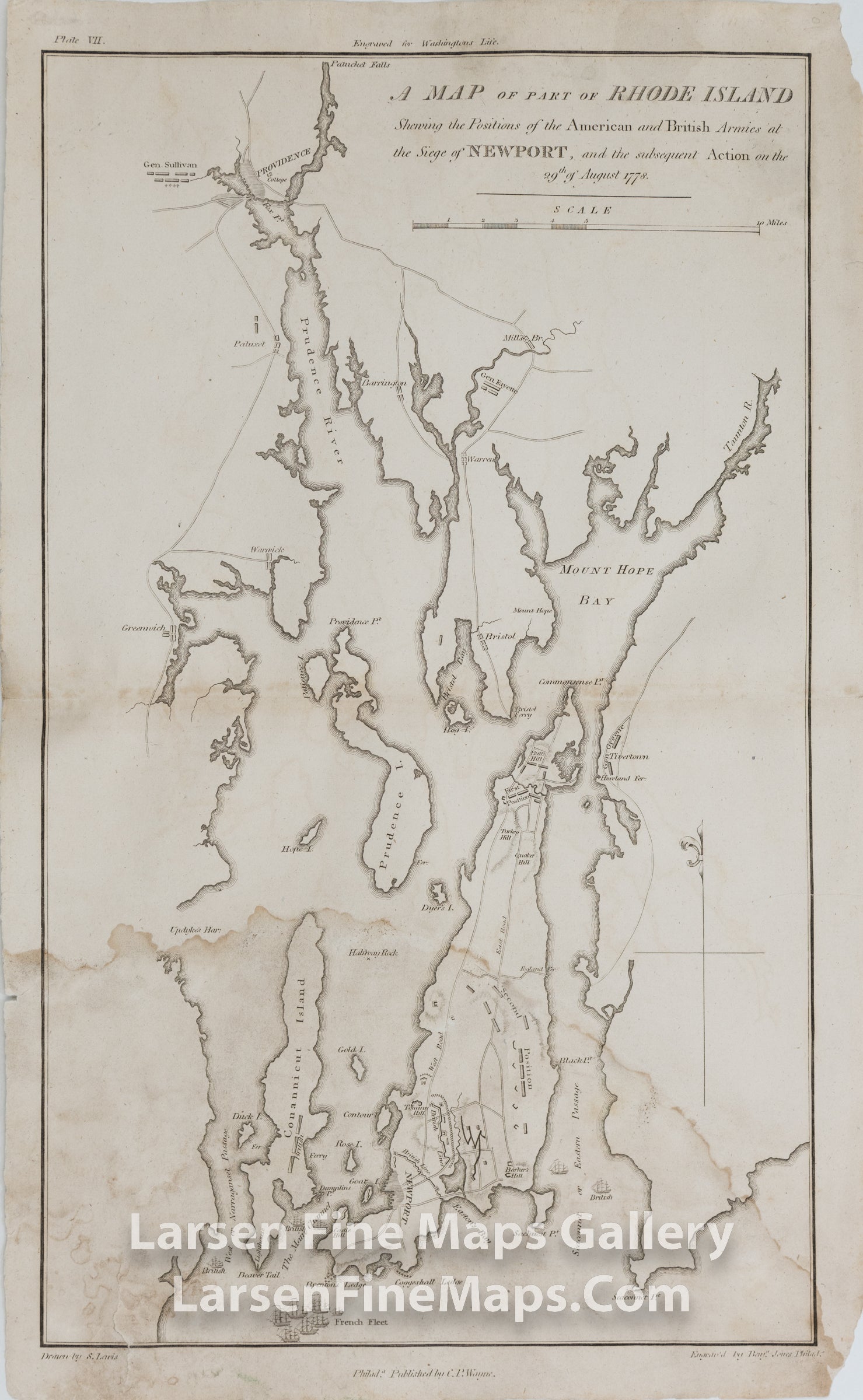
A MAP of Part of RHODE ISLAND Showing the Positions of the American and British Armies at the Siege of NEWPORT, and the subsequent Action on the 29th of August 1778
DESCRIPTION
A very interesting copper engraved map showing the British and American Revolutionary War battles in Rhode Island. The map depicts the battle plan of the Siege of Newport in August of 1778. The map shows the French Fleet in the south by Newport and the locations of forts, towns, ships, armies, and troop movements are shown in nice detail. The map is from John Marshall's "The Life of George Washington".
FULL TITLE
MAPMAKER/CARTOGRAPHER/AUTHOR
PUBLISHER
PUBLICATION
DIMENSIONS (Inches)
CONDITION
Choose options

DESCRIPTION
FULL TITLE
MAPMAKER/CARTOGRAPHER/AUTHOR
PUBLISHER
PUBLICATION
DIMENSIONS (Inches)
CONDITION
DESCRIPTION
FULL TITLE
MAPMAKER/CARTOGRAPHER/AUTHOR
PUBLISHER
PUBLICATION
DIMENSIONS (Inches)
CONDITION