YEAR PUBLISHED: 1851
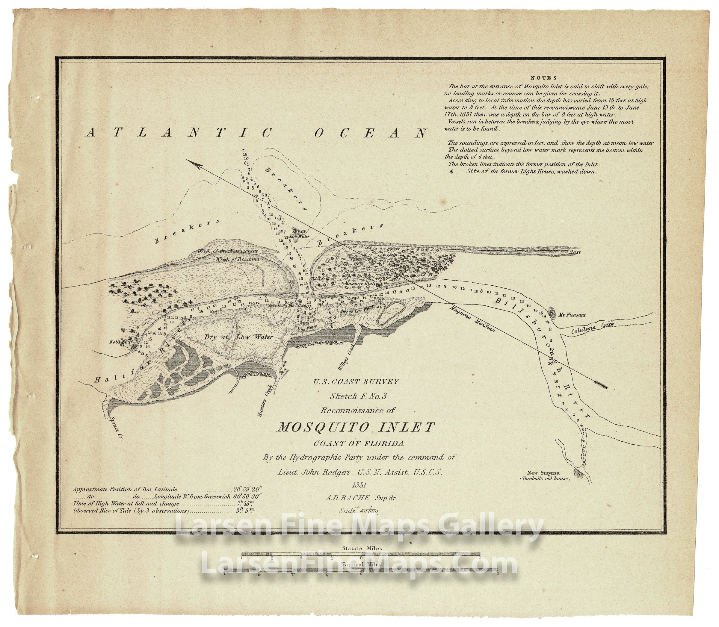
Reconnaissance of Mosquito Inlet Coast of Florida
DESCRIPTION
Chart of the Mosquito Bay Florida (Ponce de Leon). The map shows the natural inlet in the barrier islands in central Florida known now as Ponce de Leon Inlet connecting Halifax River and Hillsborough River to the Atlantic Ocean. The chart also shows great detail inland as well as many soundings and navigational information for mariners. Massacre Bluff, Bob's Bluff and Mt. Pleasant are noted.
FULL TITLE
MAPMAKER/CARTOGRAPHER/AUTHOR
PUBLISHER
PUBLICATION
DIMENSIONS (Inches)
CONDITION
Choose options
DESCRIPTION
FULL TITLE
MAPMAKER/CARTOGRAPHER/AUTHOR
PUBLISHER
PUBLICATION
DIMENSIONS (Inches)
CONDITION
DESCRIPTION
FULL TITLE
MAPMAKER/CARTOGRAPHER/AUTHOR
PUBLISHER
PUBLICATION
DIMENSIONS (Inches)
CONDITION