YEAR PUBLISHED: 1834
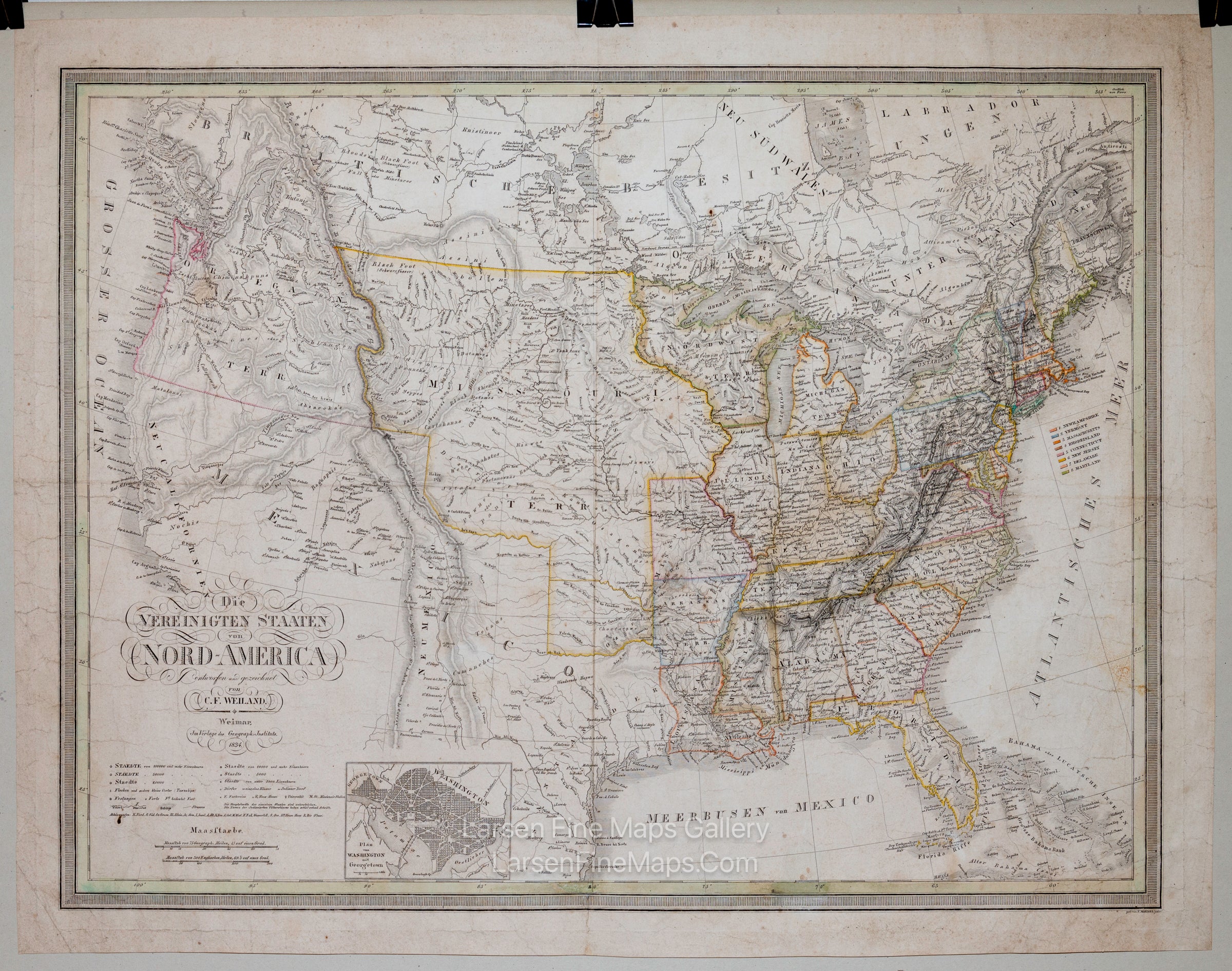
Die Vereinigten Staaten von Nord-America entworfen und gezeichnet von C. F. Weiland .... 1834
DESCRIPTION
This is a very rare and interesting map of the United States showing the vast Northwest, Arkansas, Missouri, and Oregon Territories in great detail, as it was believed to exist in the West's "Neu Californien." The map still shows the mythical lakes Timpanogos and Tegujo along with the waterways connecting them to the Pacific Ocean. A nice inset map of Washington and Georgetown is included adjacent to the title block and legend. Contemporary color in outline.
FULL TITLE
MAPMAKER/CARTOGRAPHER/AUTHOR
PUBLISHER
PUBLICATION
DIMENSIONS (Inches)
CONDITION
Choose options

DESCRIPTION
FULL TITLE
MAPMAKER/CARTOGRAPHER/AUTHOR
PUBLISHER
PUBLICATION
DIMENSIONS (Inches)
CONDITION
DESCRIPTION
FULL TITLE
MAPMAKER/CARTOGRAPHER/AUTHOR
PUBLISHER
PUBLICATION
DIMENSIONS (Inches)
CONDITION