YEAR PUBLISHED: 1854
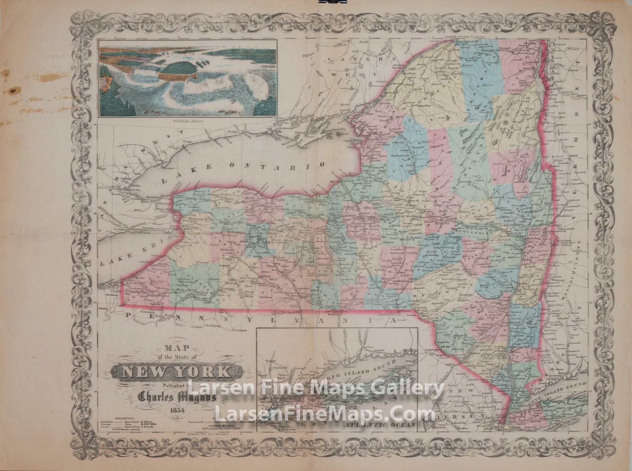
Map of The State of New York
DESCRIPTION
New York state map with a decorative border. Includes a nice perspective view of Niagara Falls and an inset map of Long Island. Roads, railroads, canals, rivers, towns, topography depicted by hachures, and colored counties are shown. Prime meridian is Washington, D.C. and explanatory notes are given. This is a rare separately issued map by Charles Magnus who issued many letter sheet maps during the Civil War era.
FULL TITLE
MAPMAKER/CARTOGRAPHER/AUTHOR
PUBLISHER
PUBLICATION
DIMENSIONS (Inches)
CONDITION
Choose options
DESCRIPTION
FULL TITLE
MAPMAKER/CARTOGRAPHER/AUTHOR
PUBLISHER
PUBLICATION
DIMENSIONS (Inches)
CONDITION
DESCRIPTION
FULL TITLE
MAPMAKER/CARTOGRAPHER/AUTHOR
PUBLISHER
PUBLICATION
DIMENSIONS (Inches)
CONDITION