YEAR PUBLISHED: 1856
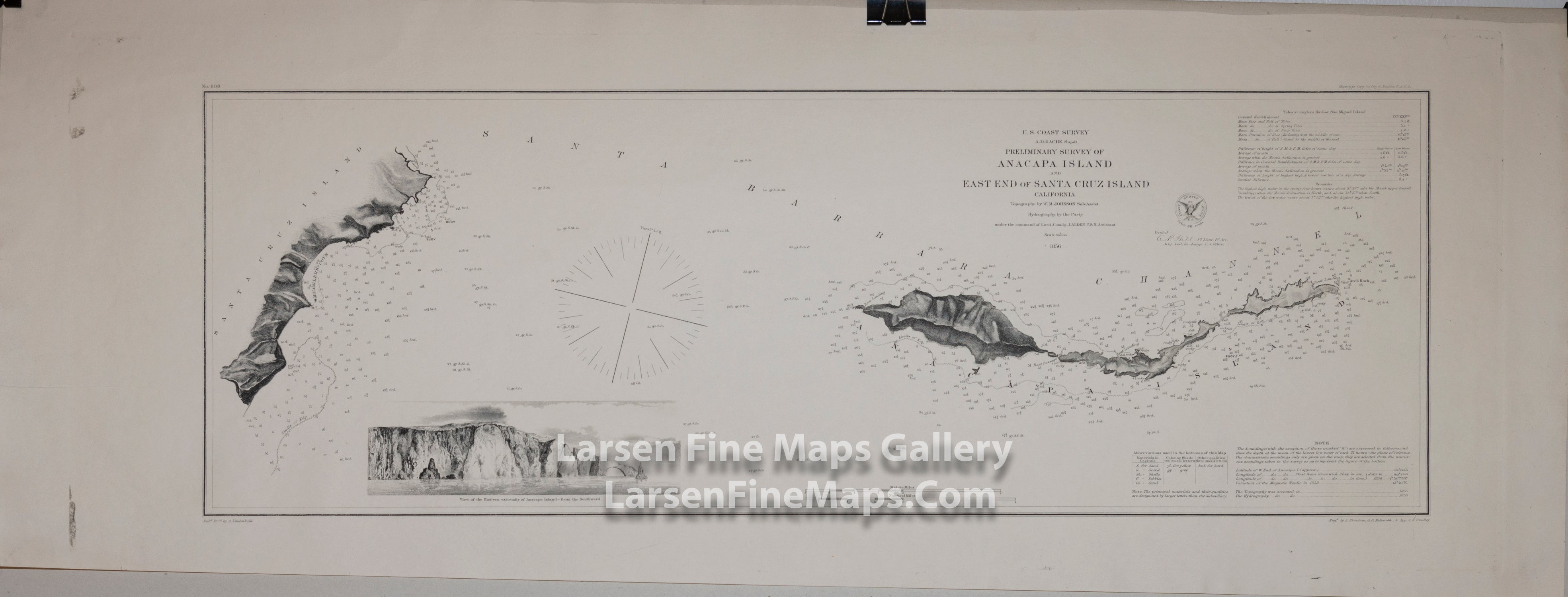
Preliminary Survey of Anacapa Island & East End of Santa Cruz Island California
DESCRIPTION
Detailed chart of Anacapa Island and East End of Santa Cruz Island, California. The entire island of Anacapa is shown along with the area around Smuggler's Cove on Santa Cruz Island. This chart shows good inland topographical details (hachures) of the ridges and valleys. Numerous depth soundings, isolines and notations give excellent bathymetric information. Bottom conditions, limits of kelp, rocks and bouys are shown. Tidal information, notes and remarks to the mariner are also given. A beautiful elevation view of Arch Rock on Anacapa Island engraved by James Abbott McNeill Whistler is prominent on lower left.
Rare separate edition on heavy paper. It is not clear if this is from a contemporary reprint from the original plates or an original thick paper issue from 1856.
IMPORTANT NOTE:
All of our United States Coast Survey (USCS), United States Coast & Geodetic Survey (USC&GS), and similar maps and charts have been professionally unfolded and flattened using humidity baths, semi-permeable membrane and drying blotter techniques. Most others you typically see on eBay have not been, and worse, are quickly and crudely unfolded for the low quality photos you see. Unfolding these maps in that way is damaging and weakens them. Please be aware.
FULL TITLE
MAPMAKER/CARTOGRAPHER/AUTHOR
PUBLISHER
PUBLICATION
DIMENSIONS (Inches)
CONDITION
Choose options
DESCRIPTION
FULL TITLE
MAPMAKER/CARTOGRAPHER/AUTHOR
PUBLISHER
PUBLICATION
DIMENSIONS (Inches)
CONDITION
DESCRIPTION
FULL TITLE
MAPMAKER/CARTOGRAPHER/AUTHOR
PUBLISHER
PUBLICATION
DIMENSIONS (Inches)
CONDITION