YEAR PUBLISHED: 1849
The Adventures of Captain Bonneville, U.S.A., in the Rocky Mountains and The Far West
DESCRIPTION
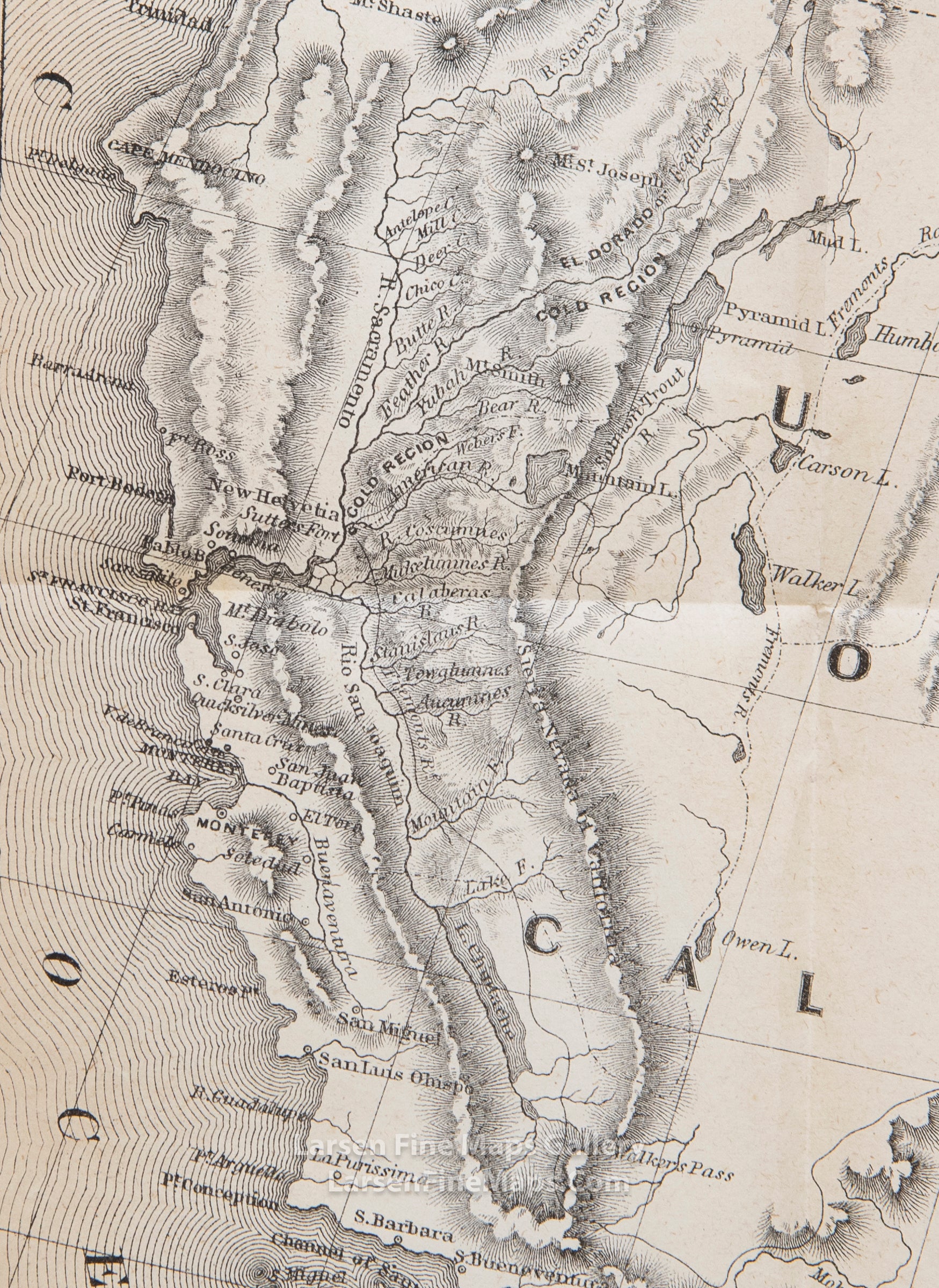
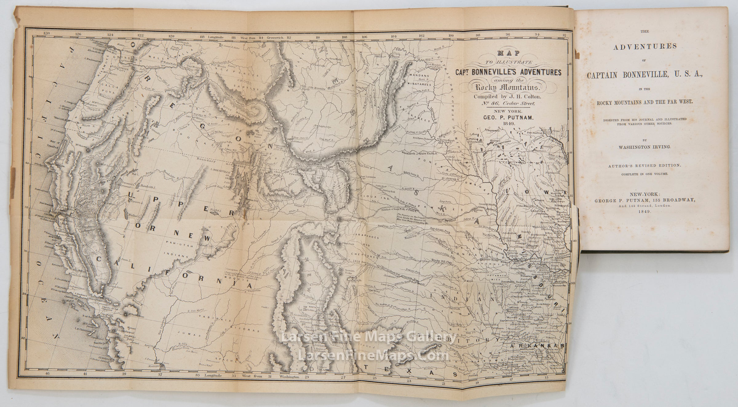
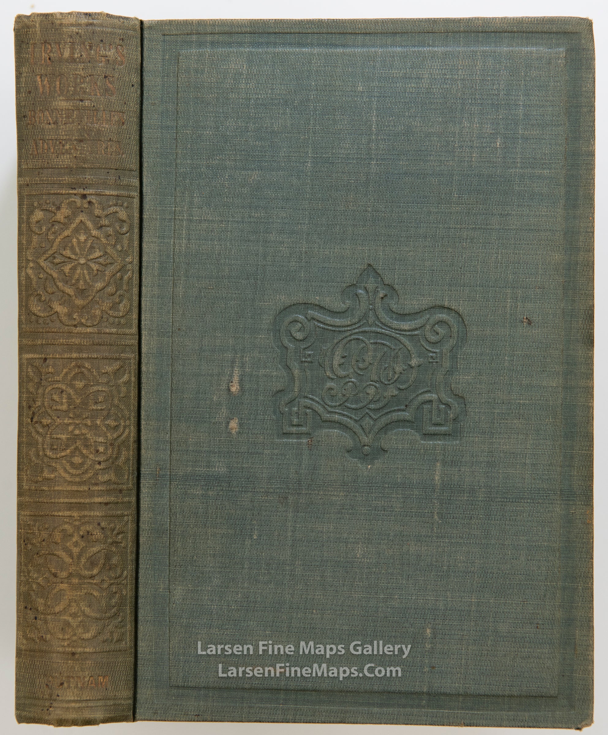
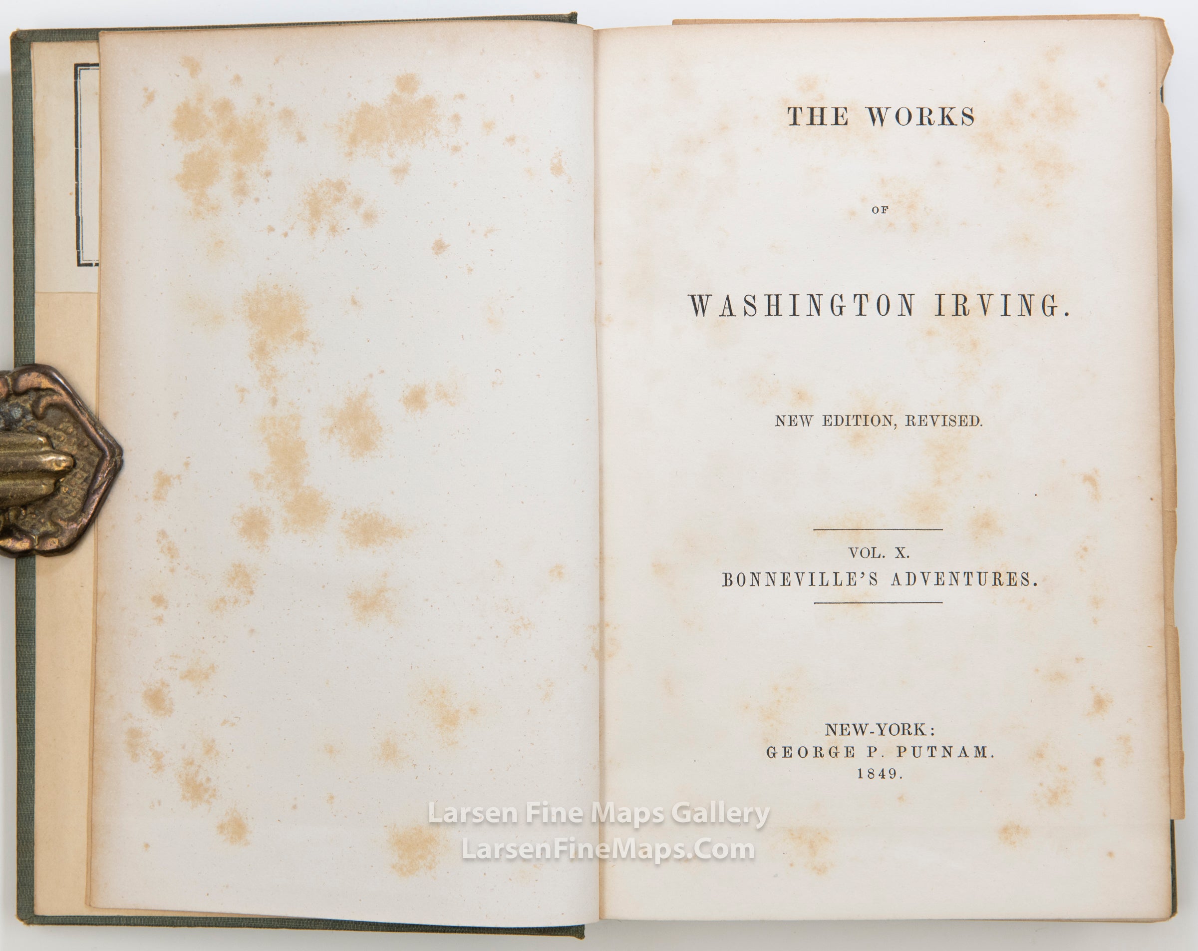
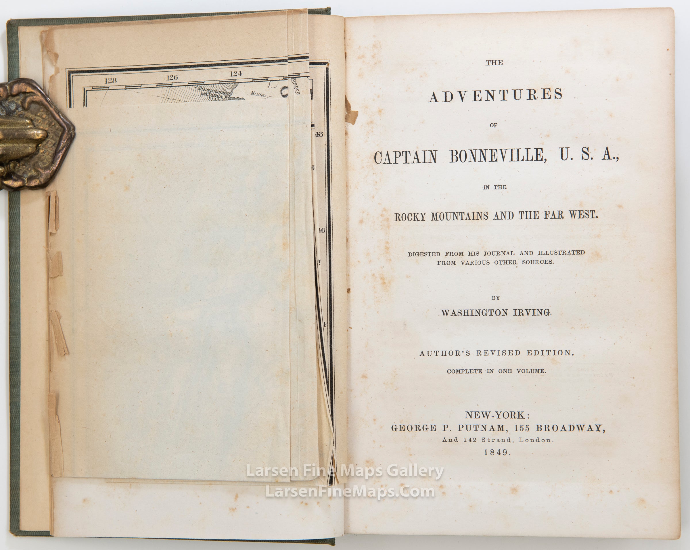
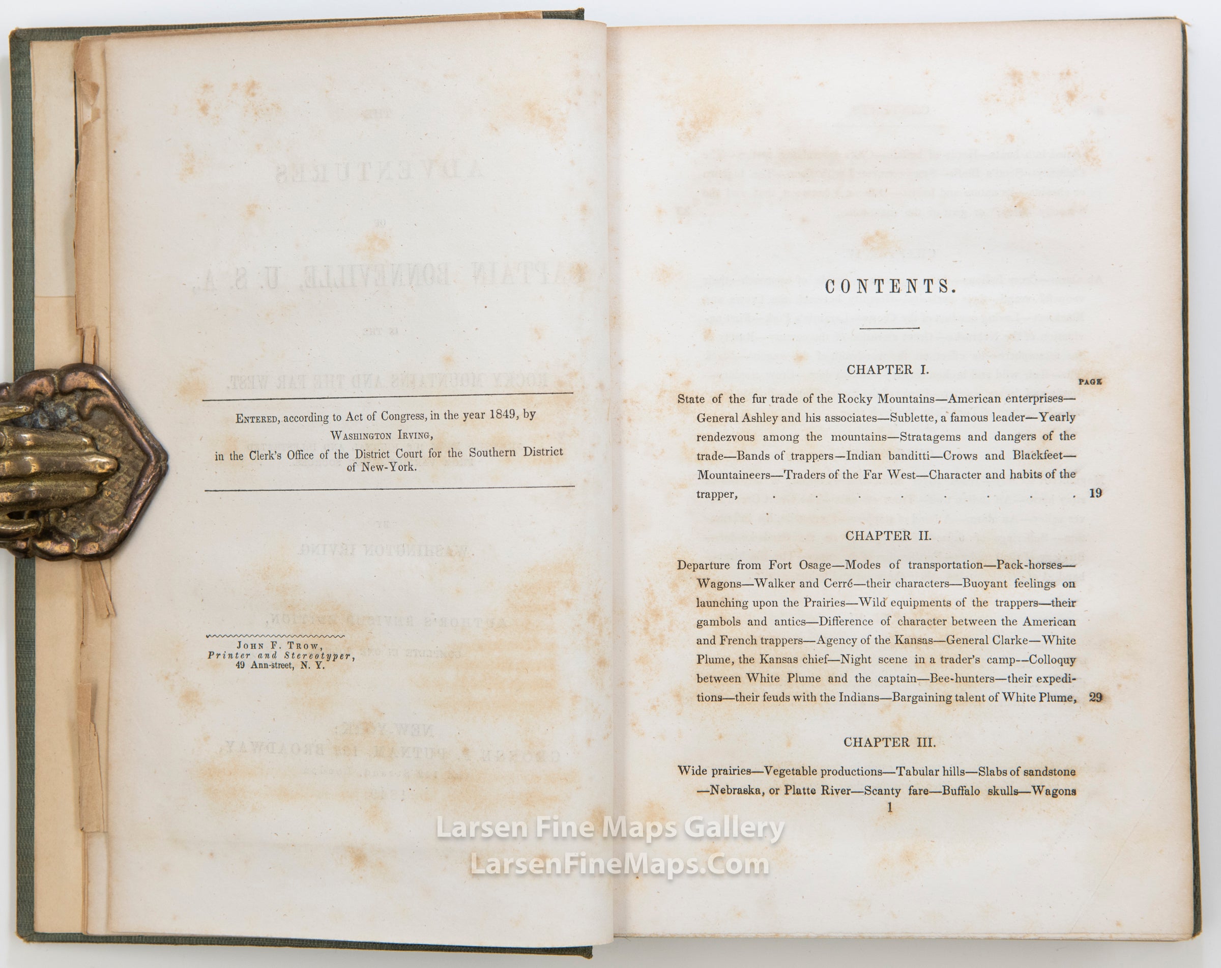
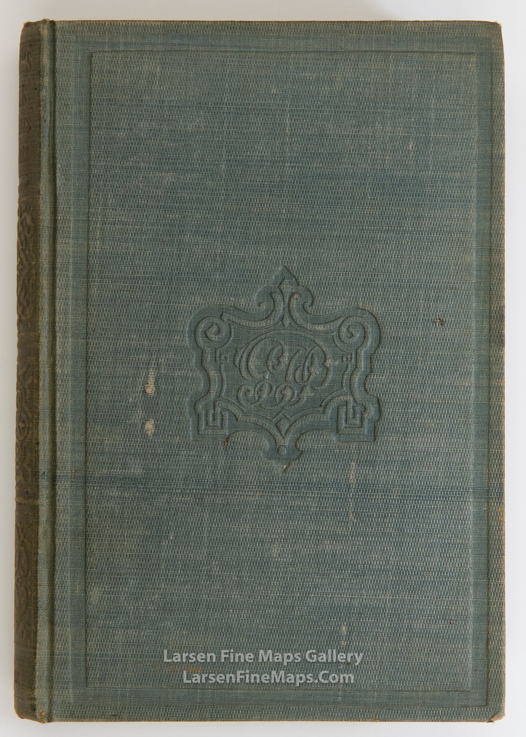
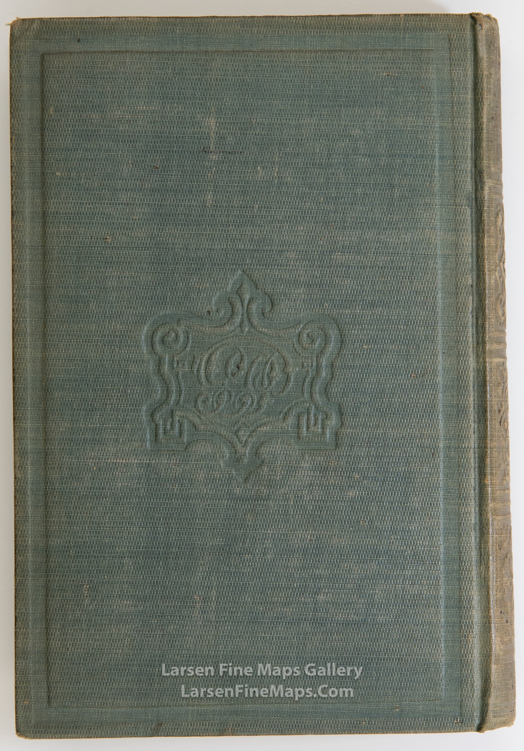
With the rare folding map of the Rocky Mountains and the new Gold Region of California by J. H. Colton. Contemporary half brown calf over marbled boards (rebacked later spine and labels, head- and tailcaps restored, some wear, soiling to binding, a few short tears to map near inner margin, some foxing, dampstaining to text). Author’s Revised Edition, with general title-page for The Works of Washington Irving, and individual title-page. The map is based upon Fremont’s map of the same period and is an important early Gold Rush map. This book is often found lacking the map, thus this is a scarce copy.
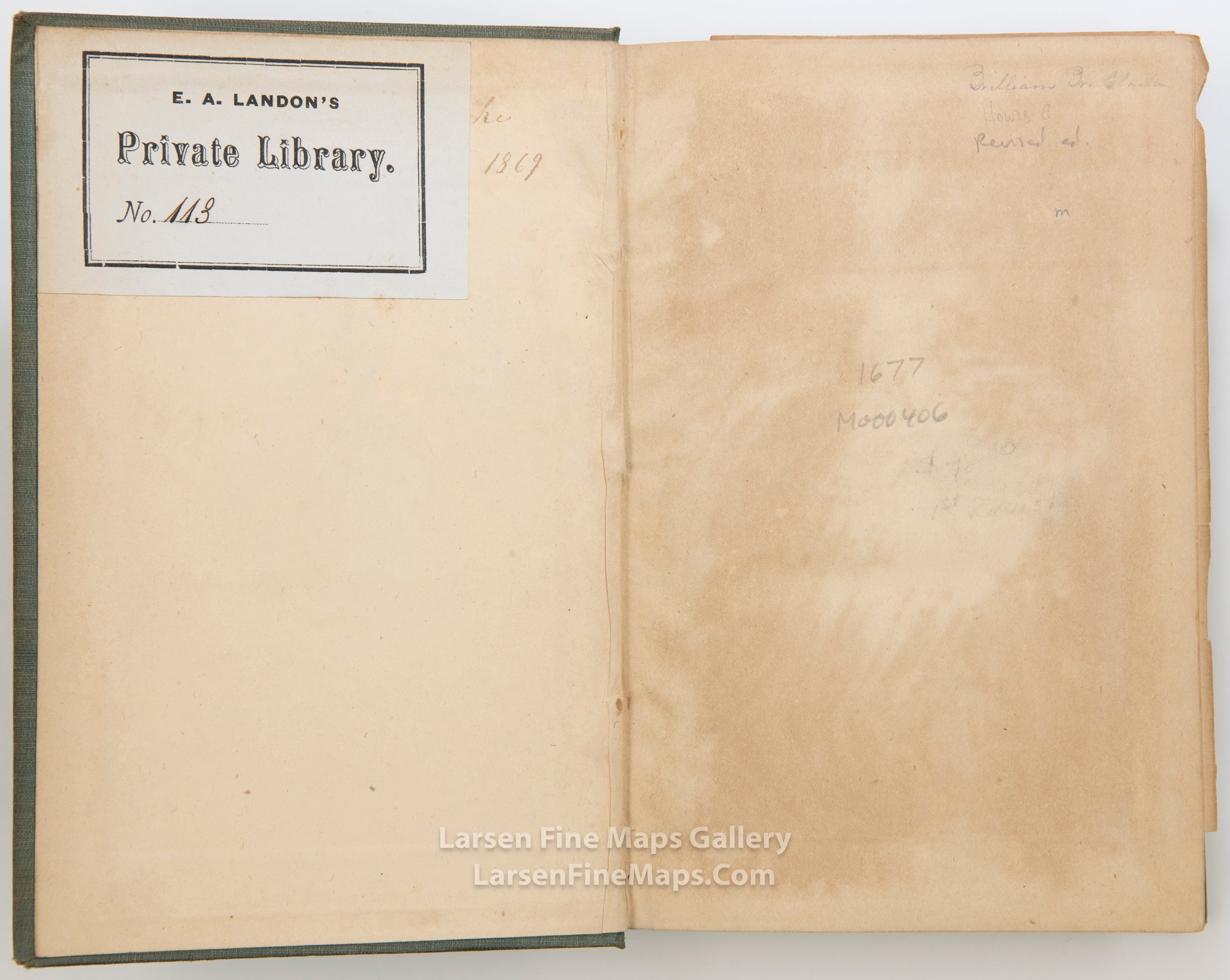
There is a bookplate on the front end papers and mailing label on the back end papers. Pages are foxed and fold out map is worn.
8vo.
There is a bookplate on the front end papers and mailing label on the back end papers. Pages are foxed and fold out map is worn.
8vo.
FULL TITLE
MAPMAKER/CARTOGRAPHER/AUTHOR
PUBLISHER
PUBLICATION
DIMENSIONS (Inches)
CONDITION
Choose options

DESCRIPTION
FULL TITLE
MAPMAKER/CARTOGRAPHER/AUTHOR
PUBLISHER
PUBLICATION
DIMENSIONS (Inches)
CONDITION
DESCRIPTION
FULL TITLE
MAPMAKER/CARTOGRAPHER/AUTHOR
PUBLISHER
PUBLICATION
DIMENSIONS (Inches)
CONDITION