YEAR PUBLISHED: 1864
Bodega Bay, California
DESCRIPTION
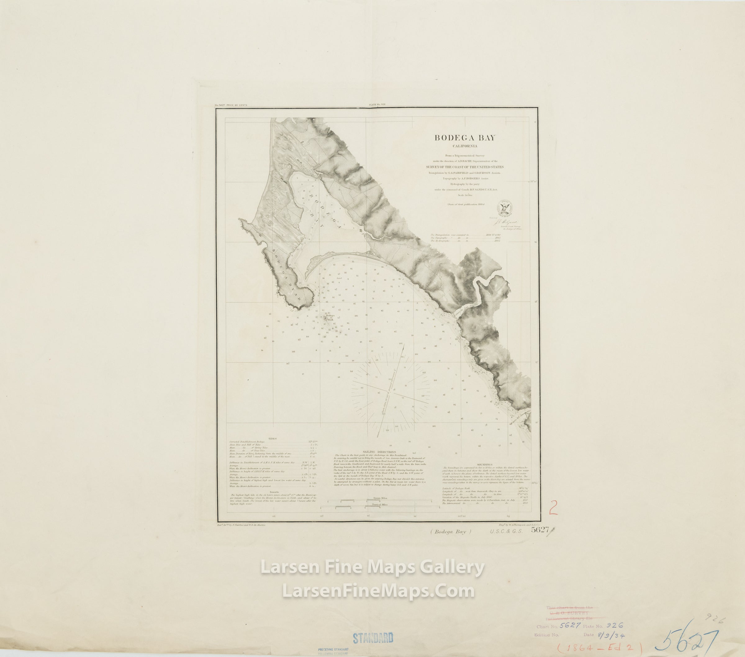
A striking and rare separately issued heavy-paper edition nautical chart of Bodega Bay, California, showing bathymetry, rocks, bays, inlets, property lines, relief by hachures, sailing directions, tides, and other aids to navigation information. This is appears to be a restrike issue from the original plate of the 1864 chart by the Coast Survey. It is unclear when this map was printed, possibly 1934 as alluded to in the library notations in the margin.
FULL TITLE
MAPMAKER/CARTOGRAPHER/AUTHOR
PUBLISHER
PUBLICATION
DIMENSIONS (Inches)
CONDITION
Choose options
DESCRIPTION
FULL TITLE
MAPMAKER/CARTOGRAPHER/AUTHOR
PUBLISHER
PUBLICATION
DIMENSIONS (Inches)
CONDITION
DESCRIPTION
FULL TITLE
MAPMAKER/CARTOGRAPHER/AUTHOR
PUBLISHER
PUBLICATION
DIMENSIONS (Inches)
CONDITION