
YEAR PUBLISHED: 1888
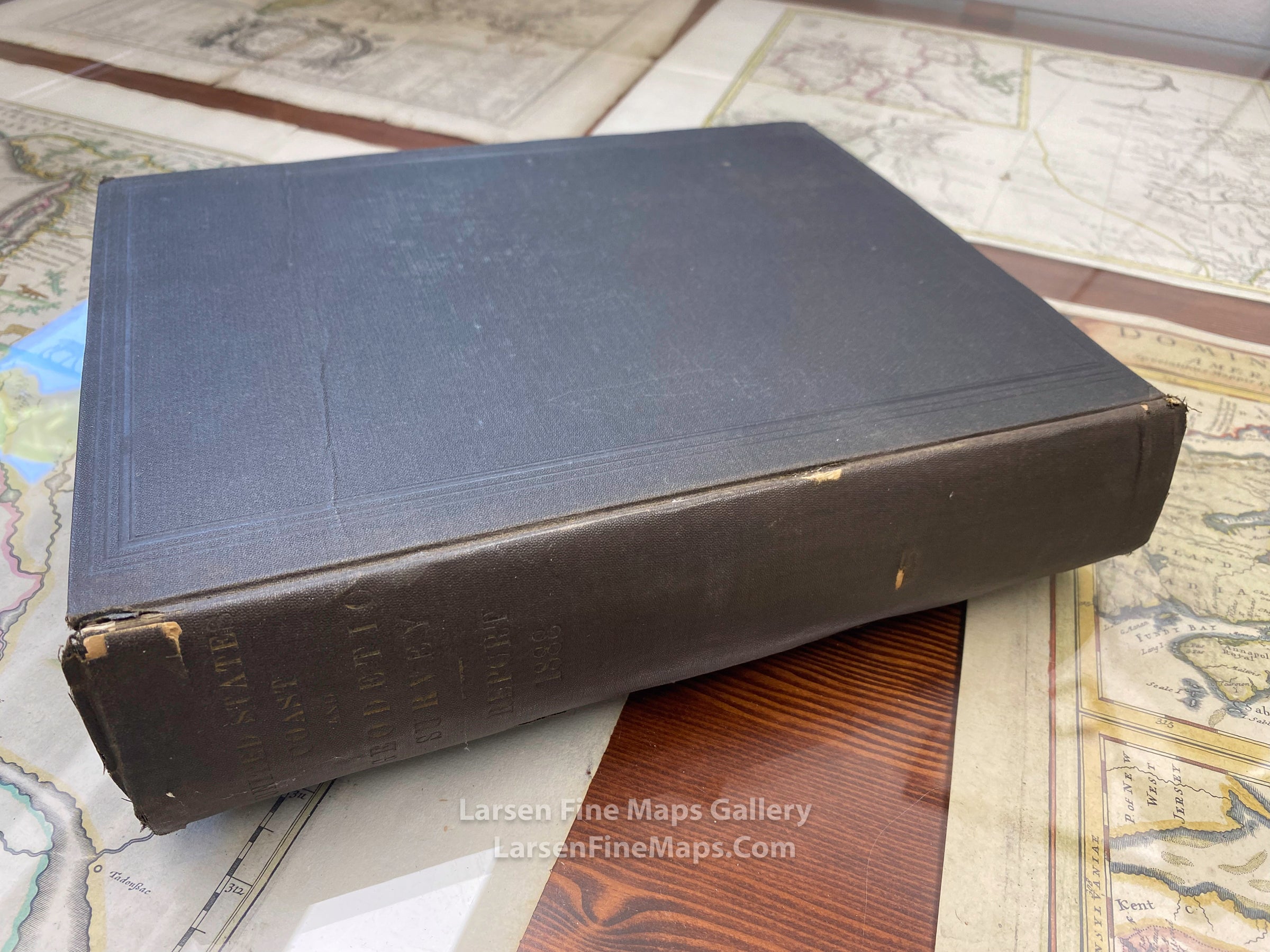
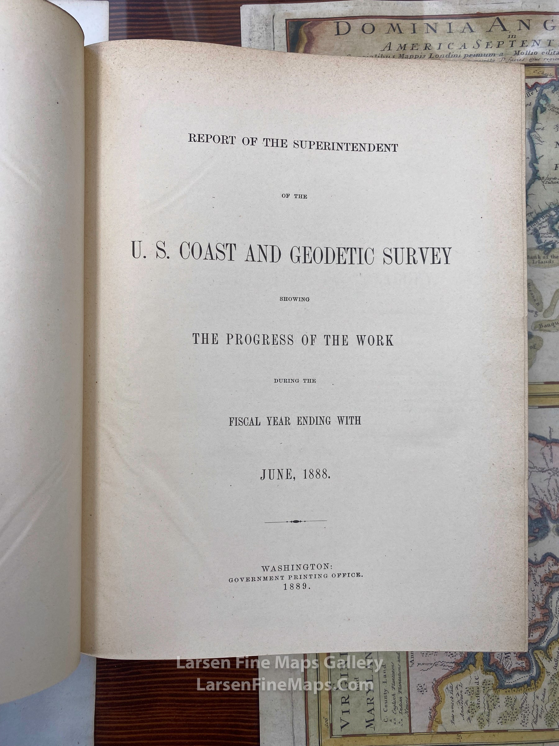
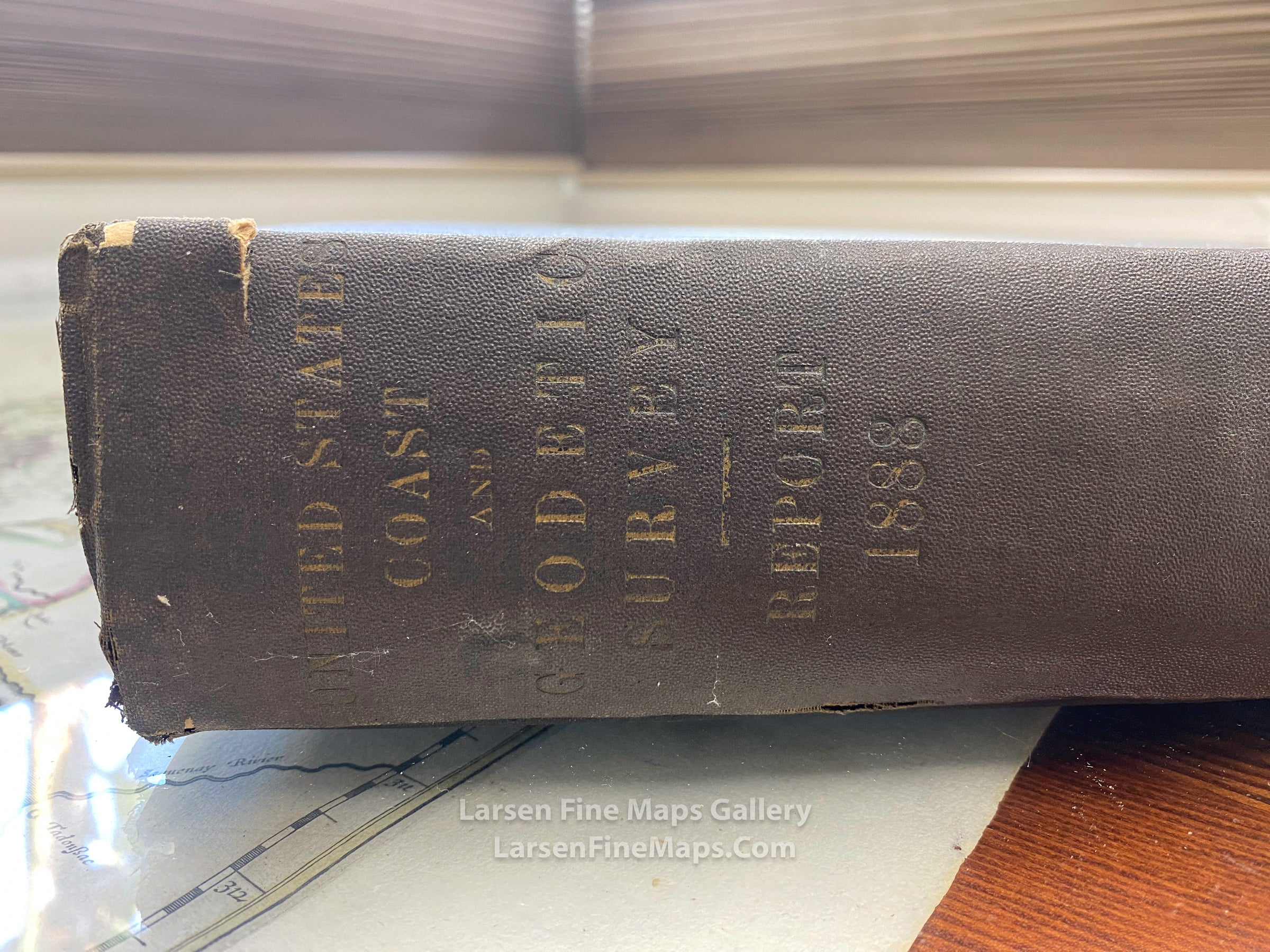
Report of The Superintendent of the U.S. Coast and Geodetic Survey Showing The Progress of The Work During The Fiscal Year Ending With June, 1888
DESCRIPTION
Annual Report of the Superintendent, Coast and Geodetic Survey to the Secretary of Commerce and Labor.
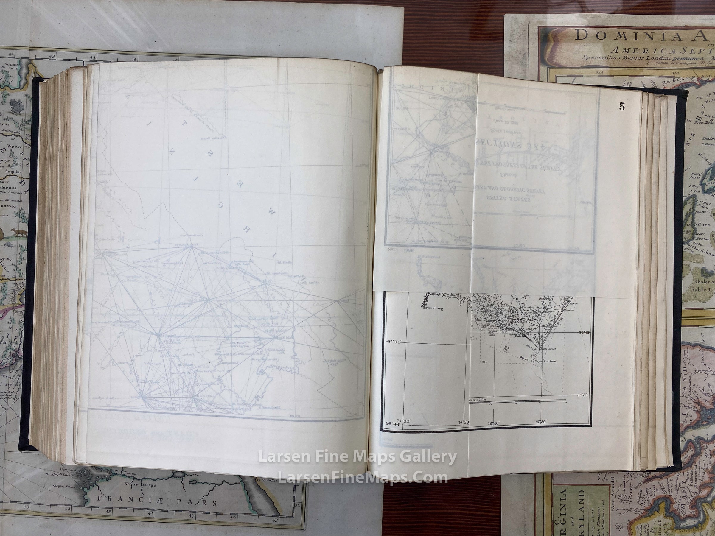
The report(s) and maps are formerly of the British Admiralty Library's collection. Numerous fold-out maps and/or charts.
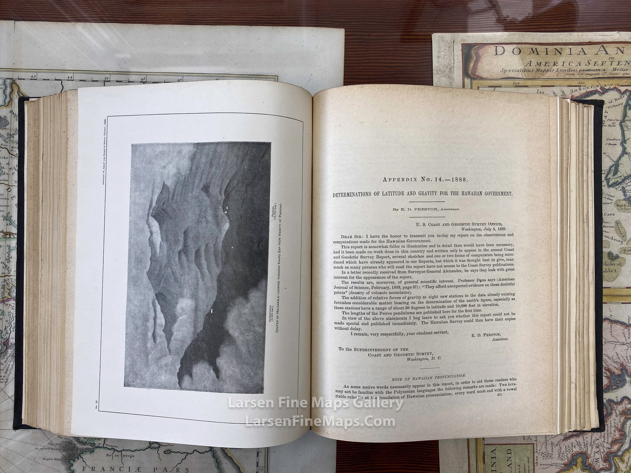
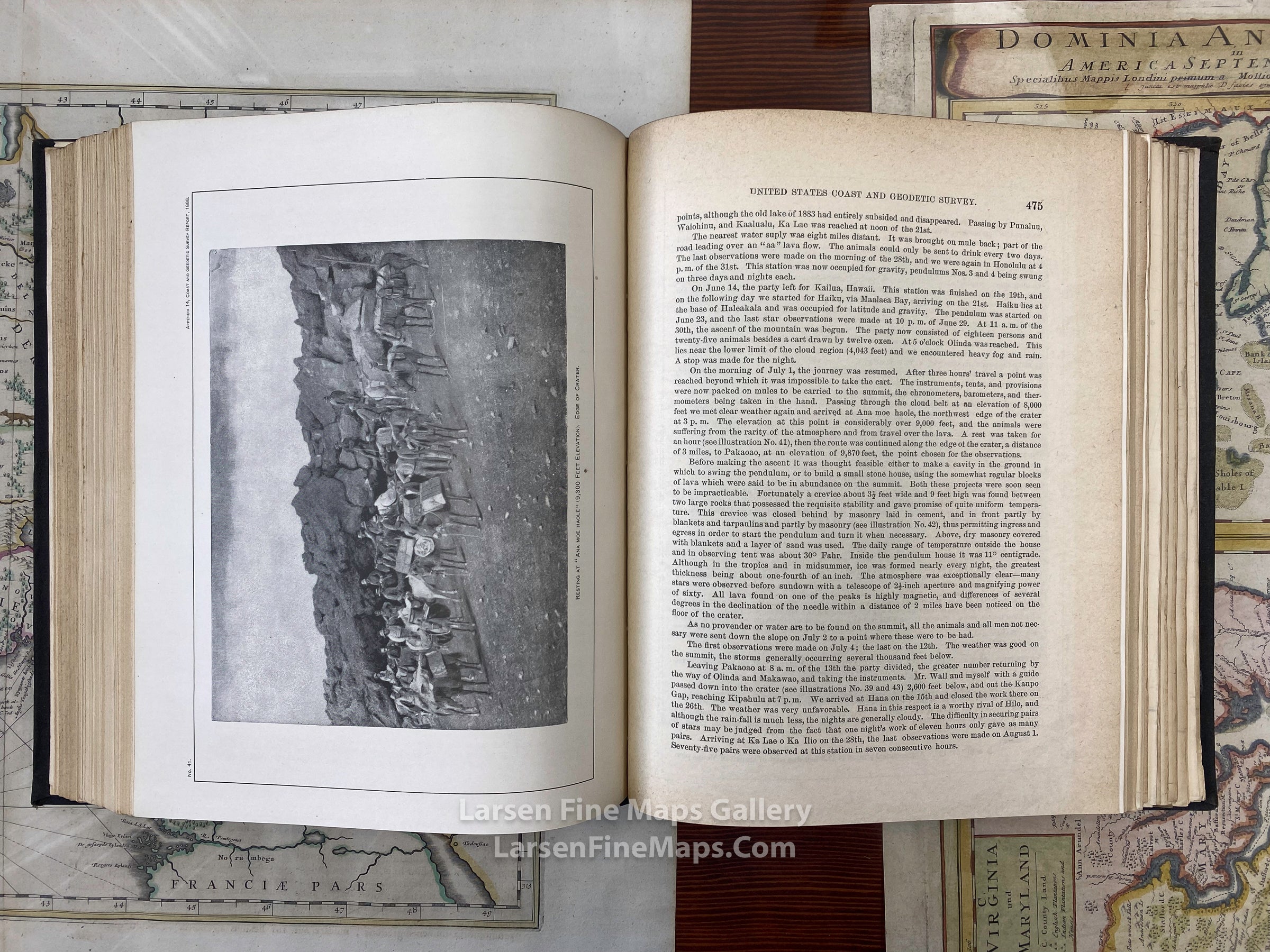
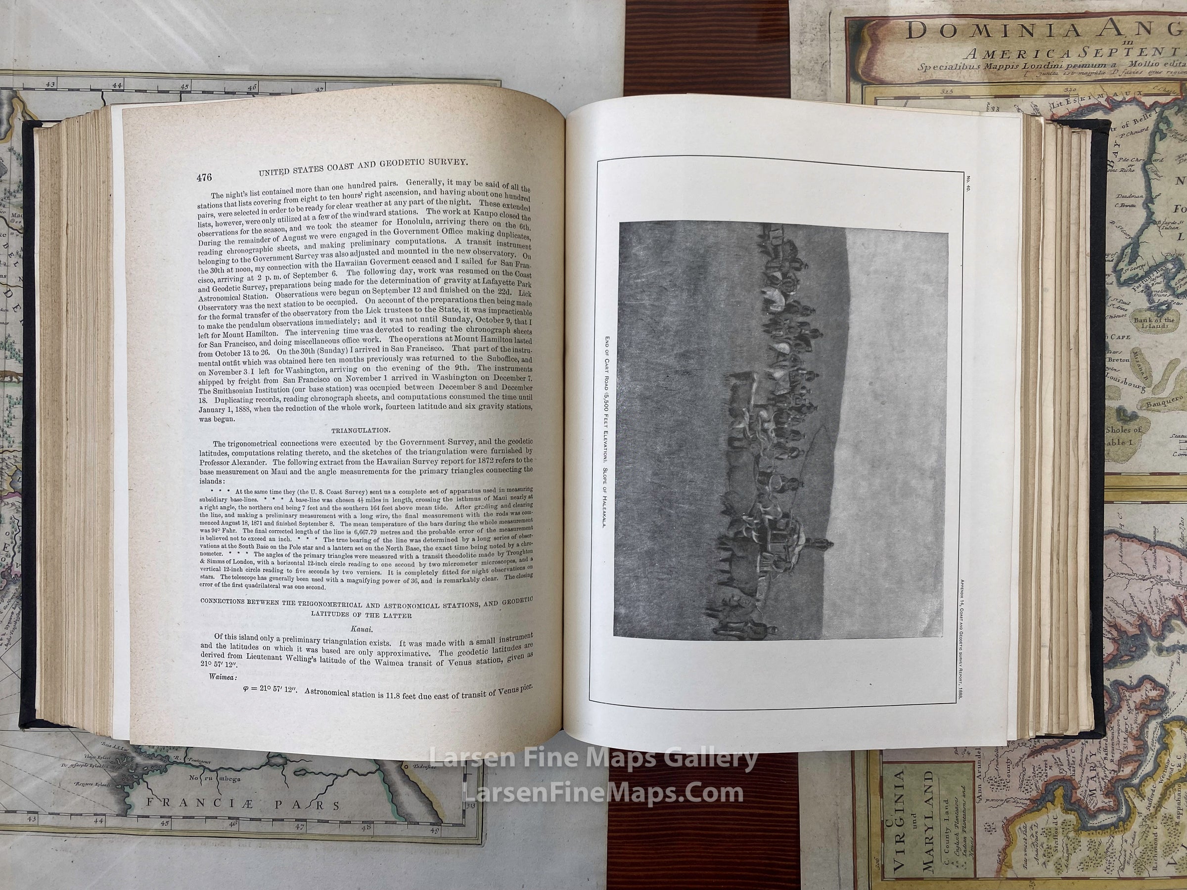
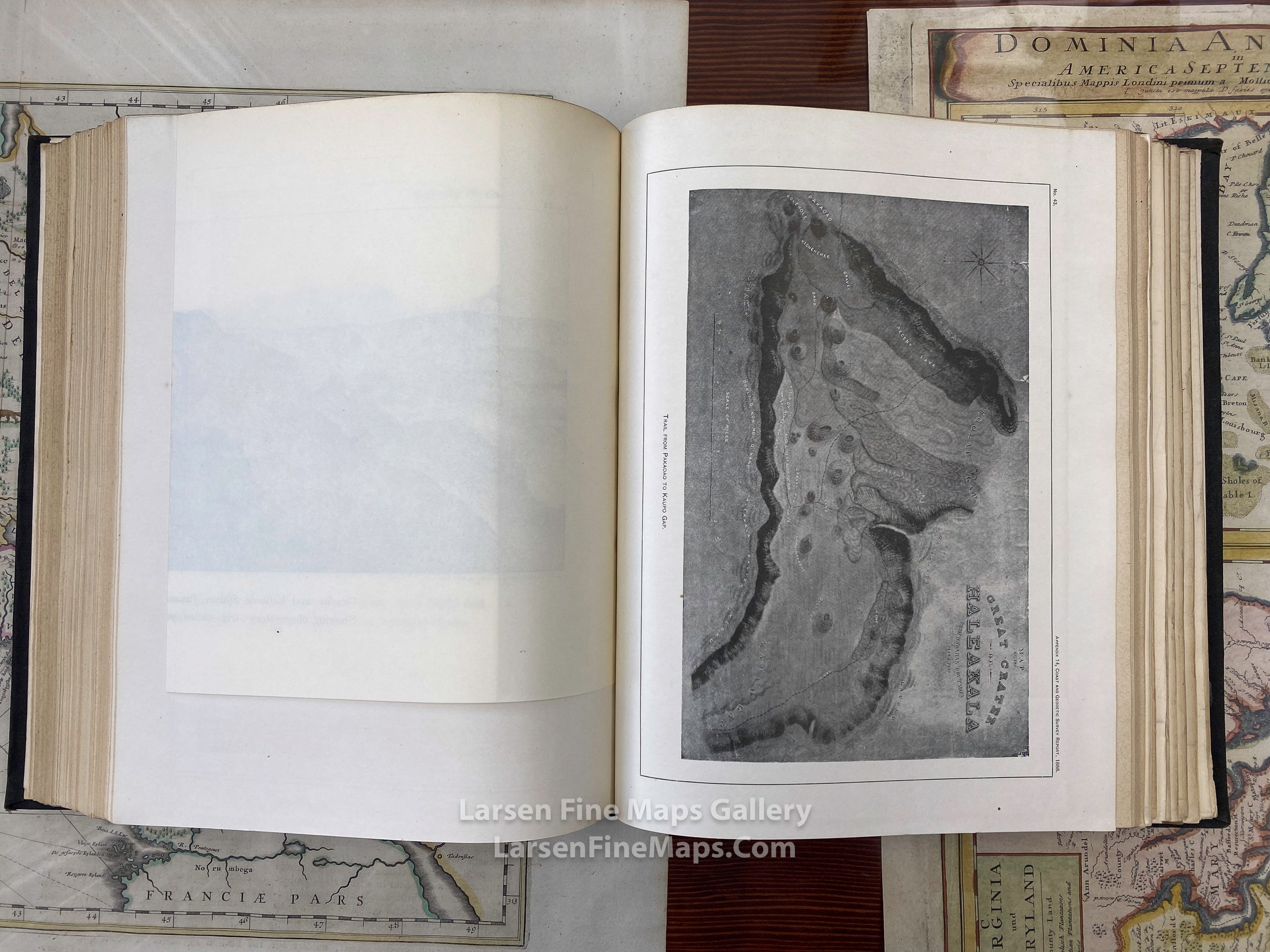
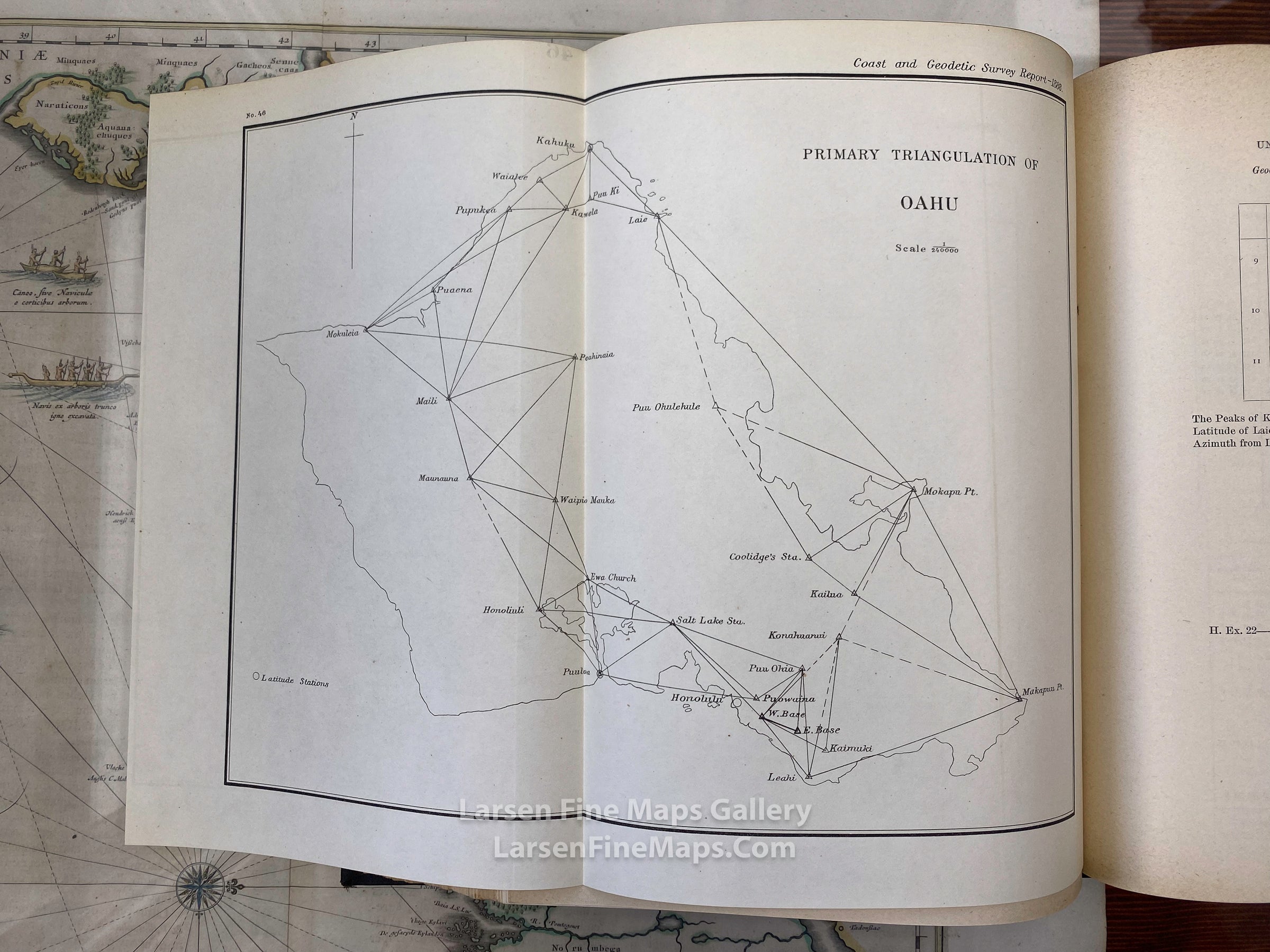
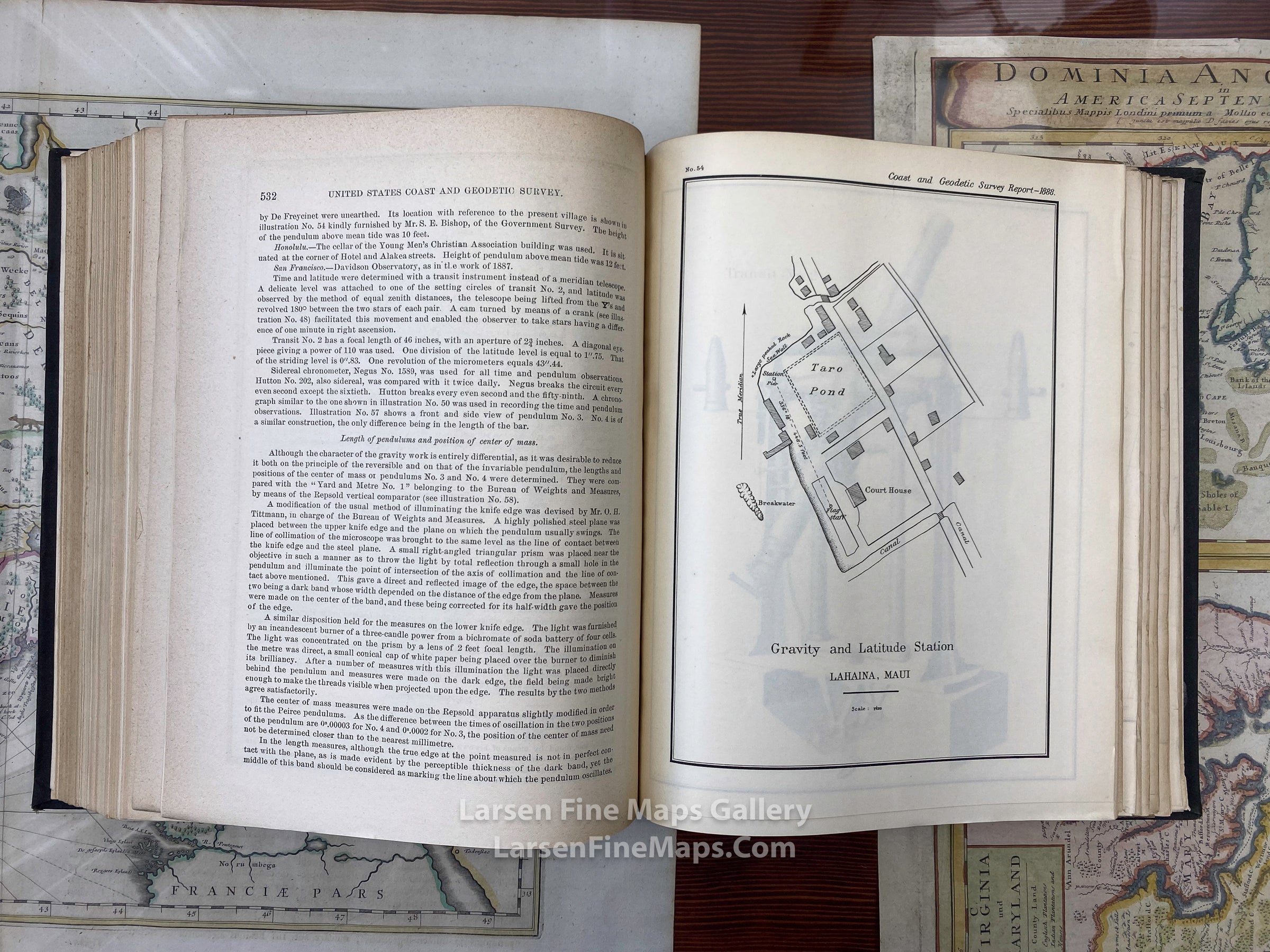
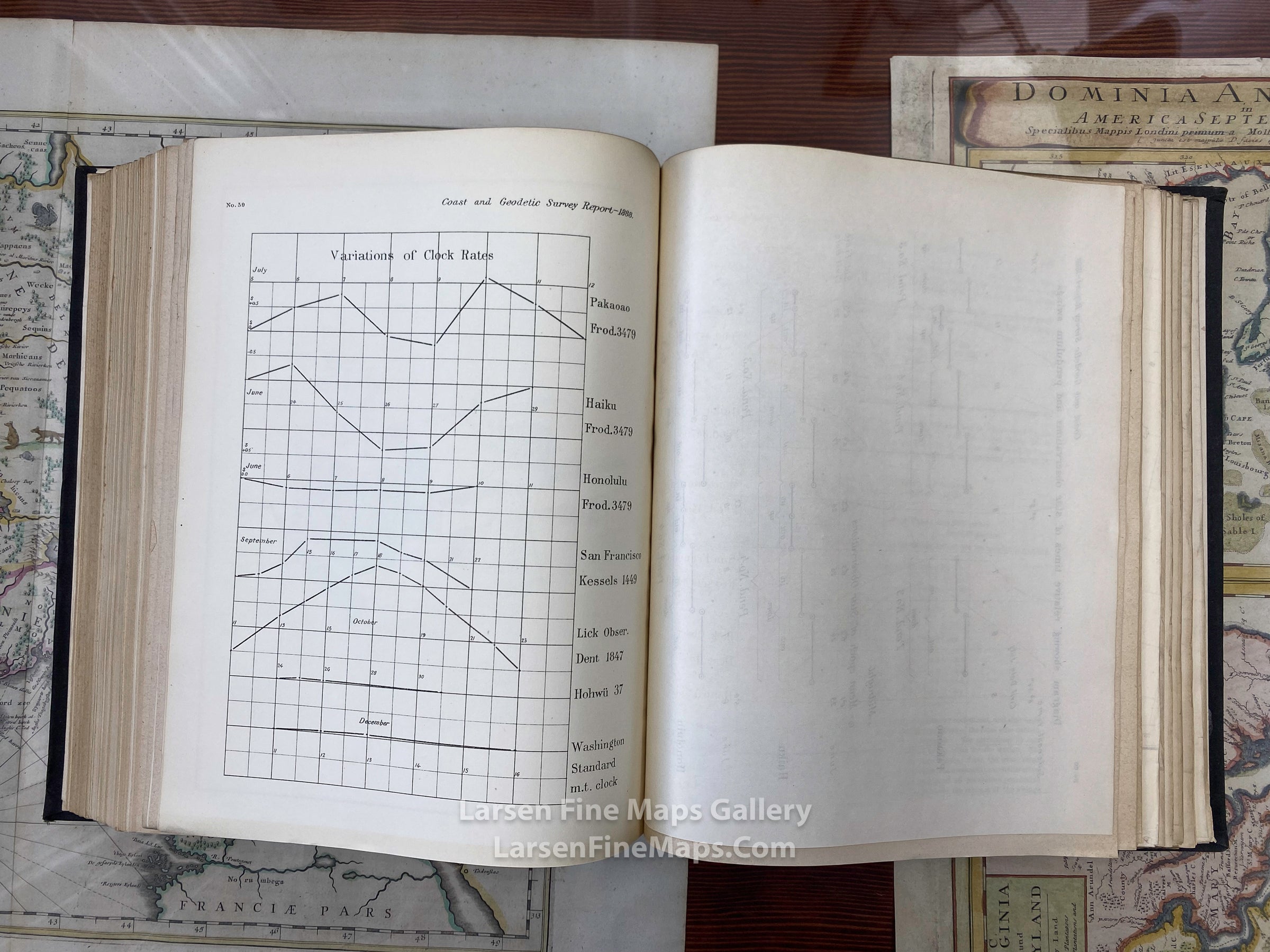
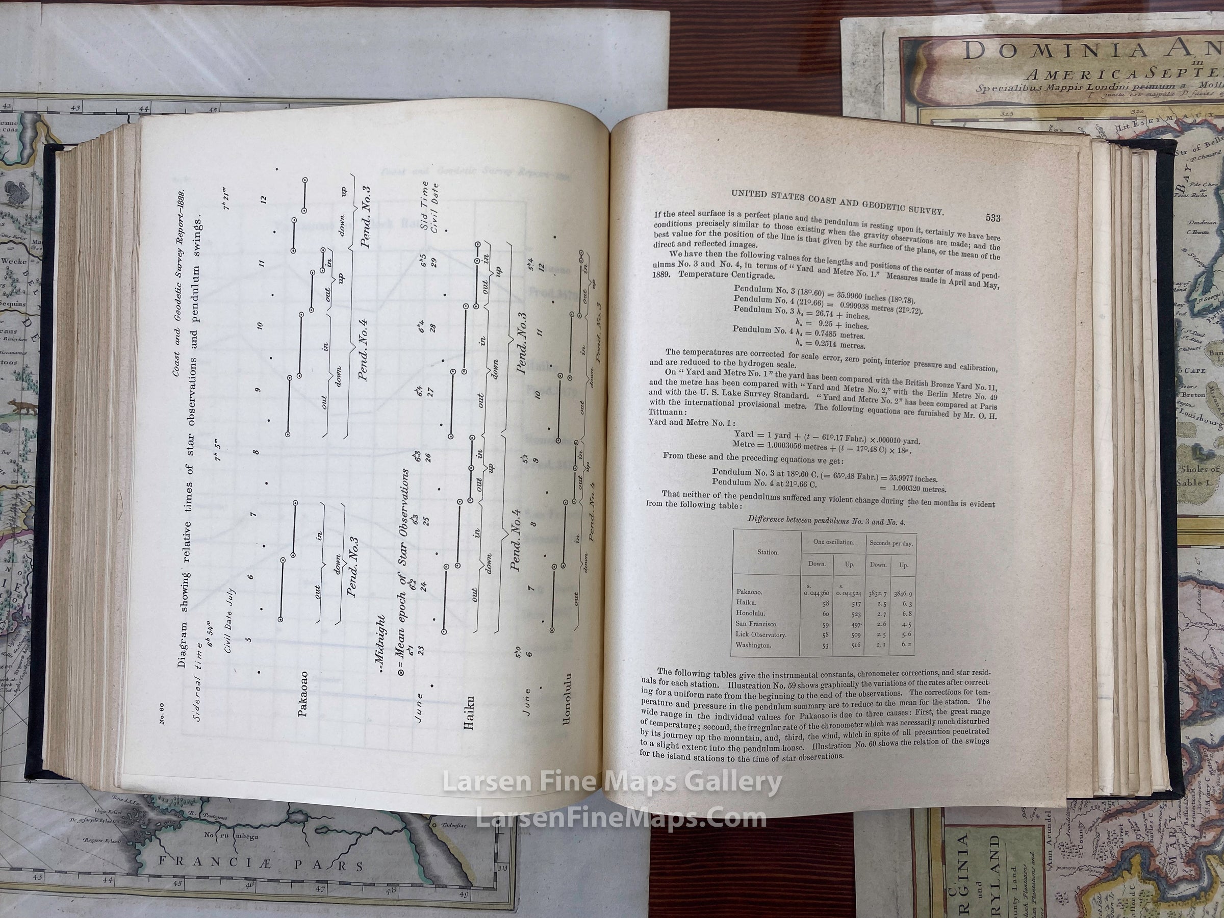
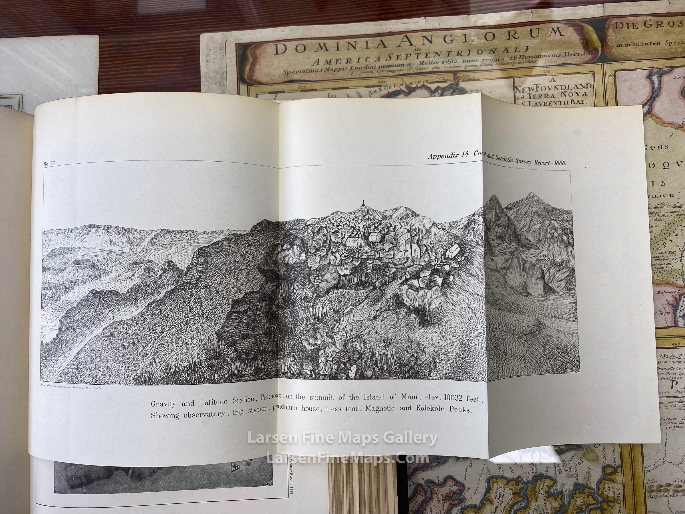
An important issue as it has a detailed report of the Hawaiin Islands with maps and charts.
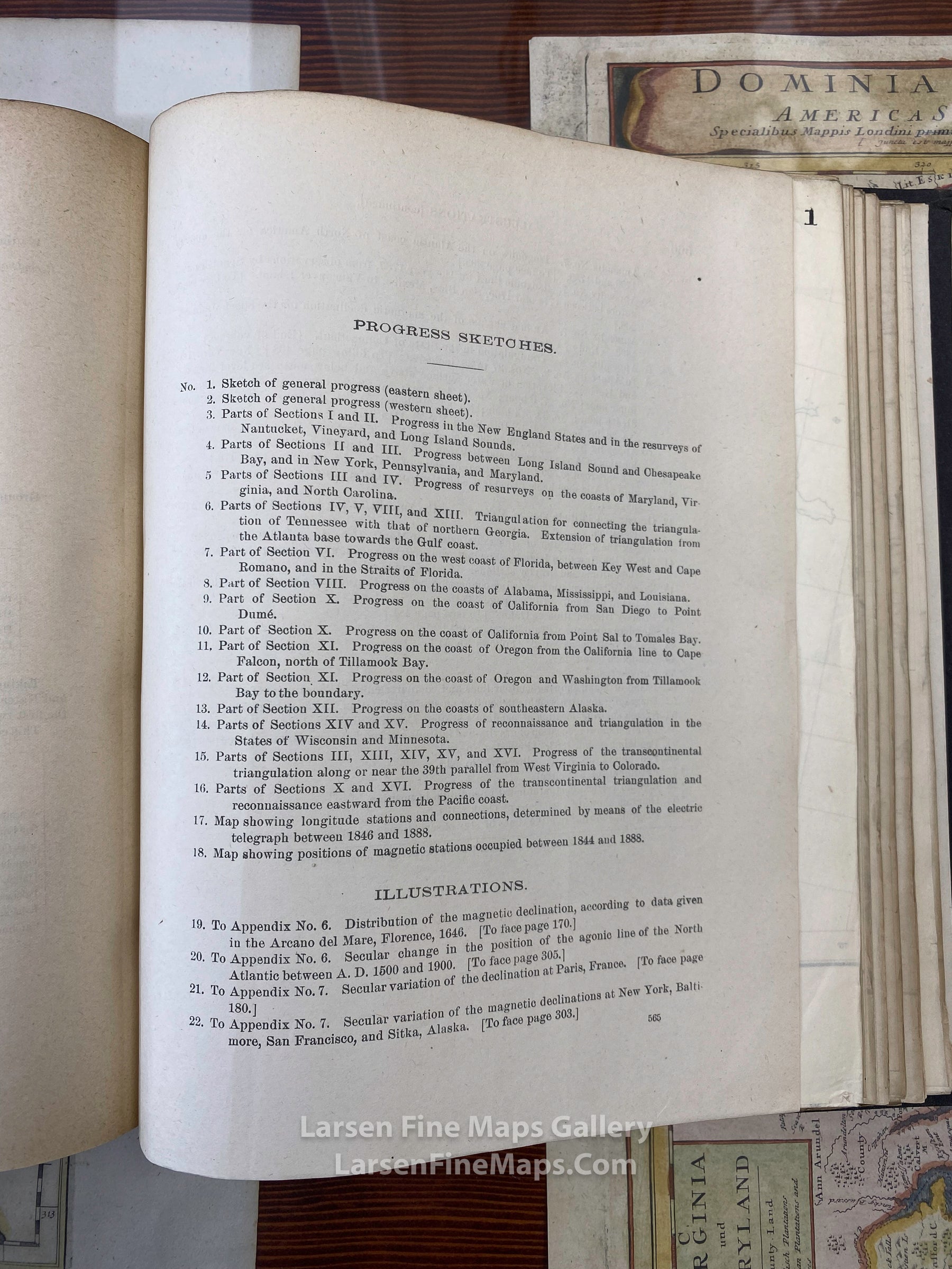
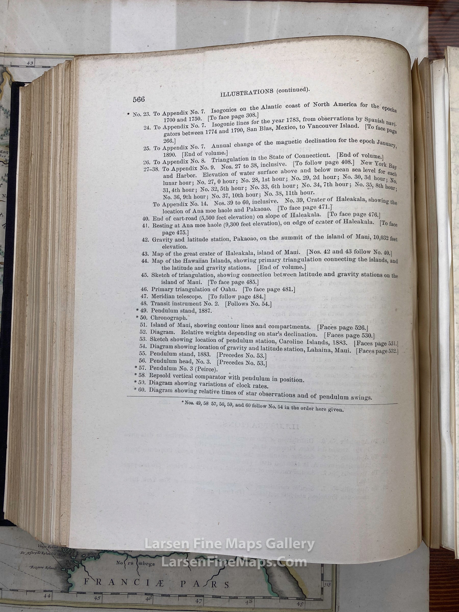
Some names shown in the list of Progress Sketches and Illustrrations (see photo of index for specific titles):
- Nantucket, Vineyard, Long Island Sound
- Chesapeake Bay, New York, Pennsylvania, Maryland
- Virginia, North Carolina
- Tennessee, Georgia
- Florida, Key West, Cape Romano
- Alabama, Mississippi, Louisiana
- California, Point Sal to Tomales Bay
- Oregon, Cape Falcon, Tillamook Bay
- Washington
- Alaska
- Wisconsin, Minnesota
- West Virginia to Colorado
- Electric Telegraph Progress
- Connecticut
- Haleakala, Ana Moe Haole, Pakaoao
- Maui
- Hawaiian Islands
-Oahu
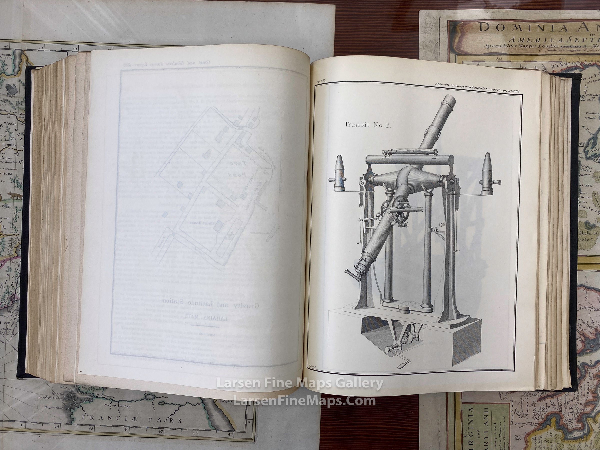
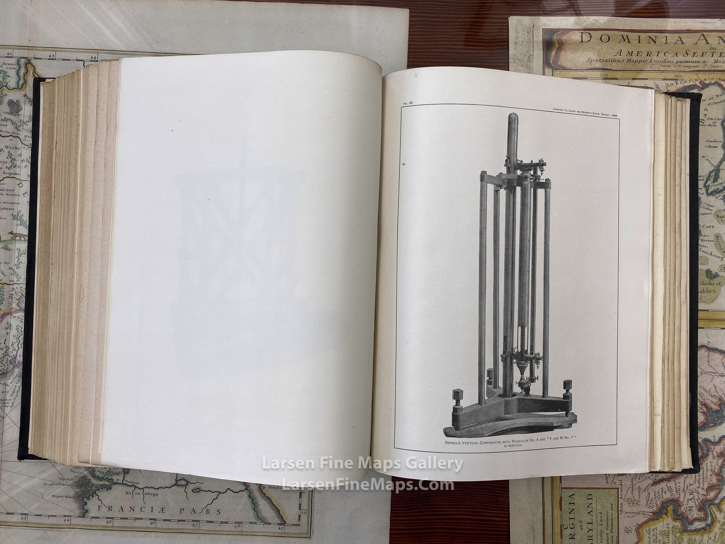
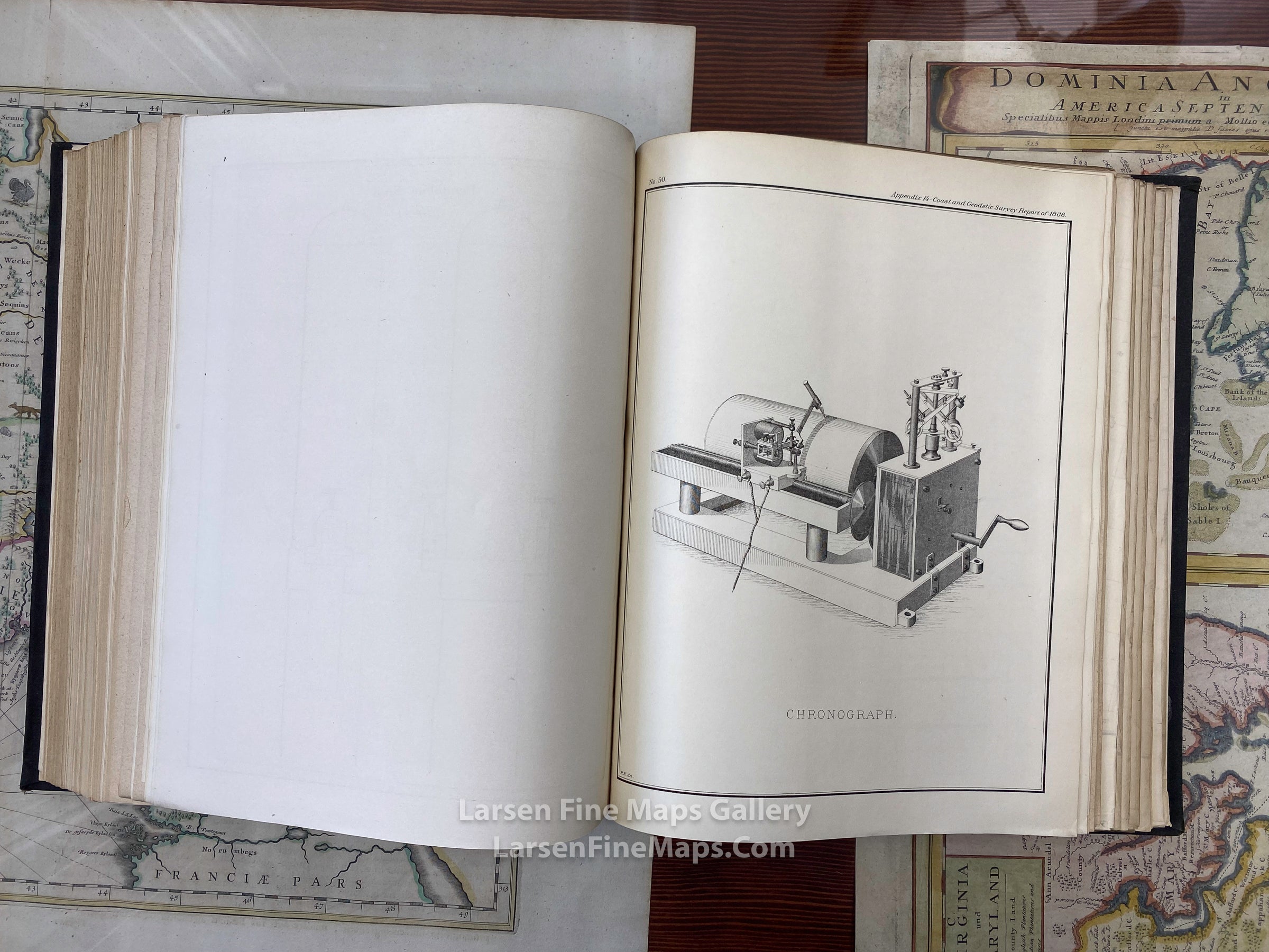
- Survey Instruments
FULL TITLE
MAPMAKER/CARTOGRAPHER/AUTHOR
PUBLISHER
PUBLICATION
DIMENSIONS (Inches)
CONDITION
Choose options

DESCRIPTION
FULL TITLE
MAPMAKER/CARTOGRAPHER/AUTHOR
PUBLISHER
PUBLICATION
DIMENSIONS (Inches)
CONDITION
DESCRIPTION
FULL TITLE
MAPMAKER/CARTOGRAPHER/AUTHOR
PUBLISHER
PUBLICATION
DIMENSIONS (Inches)
CONDITION