YEAR PUBLISHED: 1854
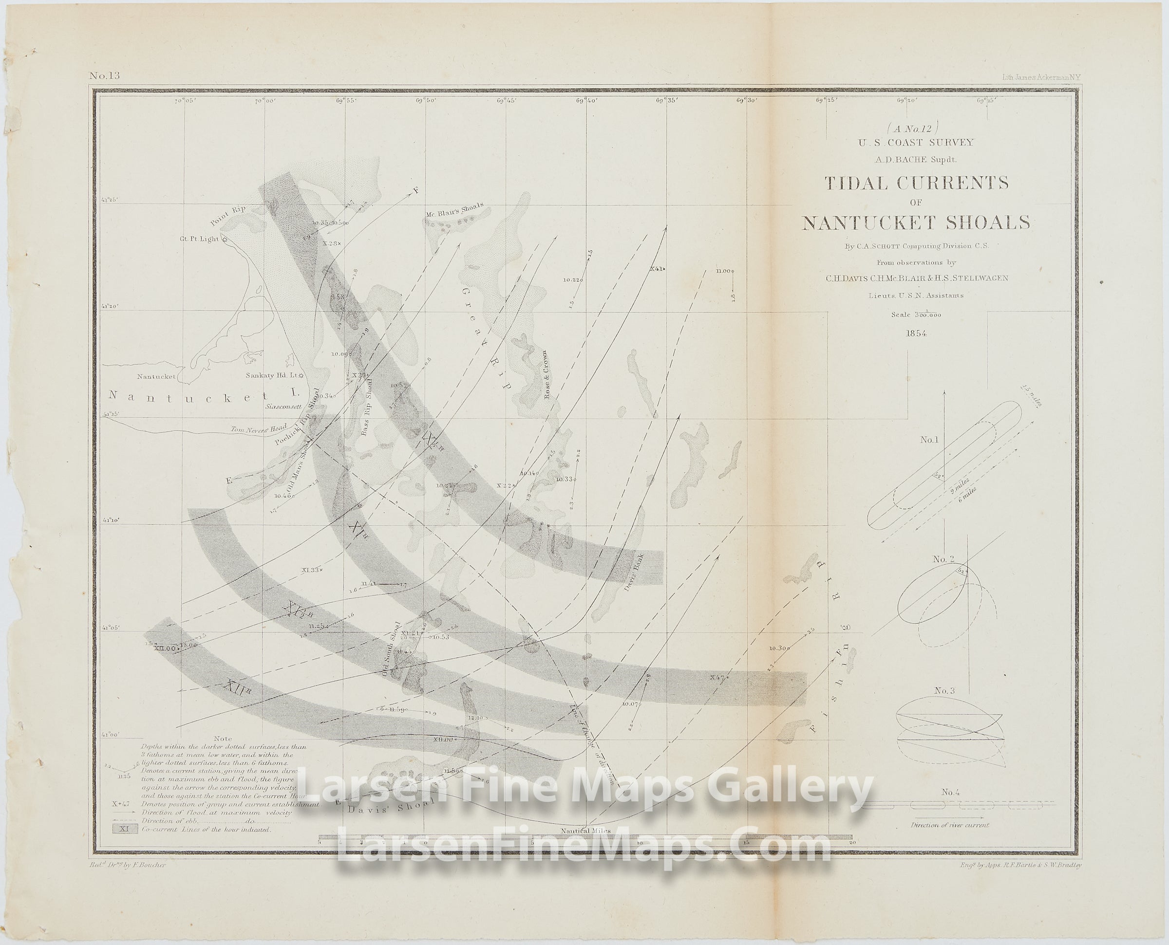
A No. 12 Tidal Currents of Nantucket Shoals
DESCRIPTION
An interesting chart of the Tidal Currents of Nantucket Shoals. This chart shows the shallow shoals and reefs in shaded form along with the current stations, directional arrows showing flood at maximum velocity, co-current lines and rips.
FULL TITLE
MAPMAKER/CARTOGRAPHER/AUTHOR
PUBLISHER
PUBLICATION
DIMENSIONS (Inches)
CONDITION
Choose options
DESCRIPTION
FULL TITLE
MAPMAKER/CARTOGRAPHER/AUTHOR
PUBLISHER
PUBLICATION
DIMENSIONS (Inches)
CONDITION
DESCRIPTION
FULL TITLE
MAPMAKER/CARTOGRAPHER/AUTHOR
PUBLISHER
PUBLICATION
DIMENSIONS (Inches)
CONDITION