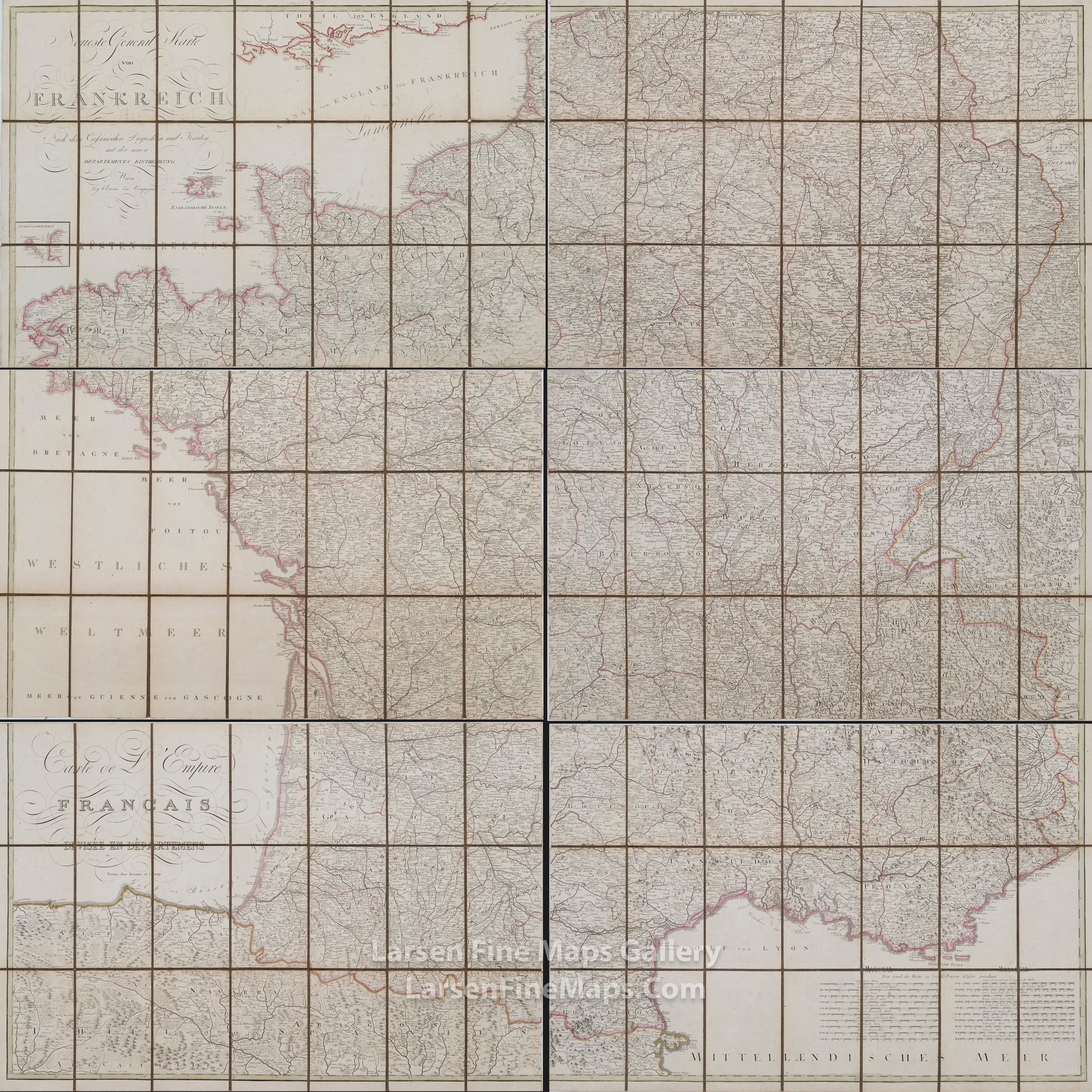
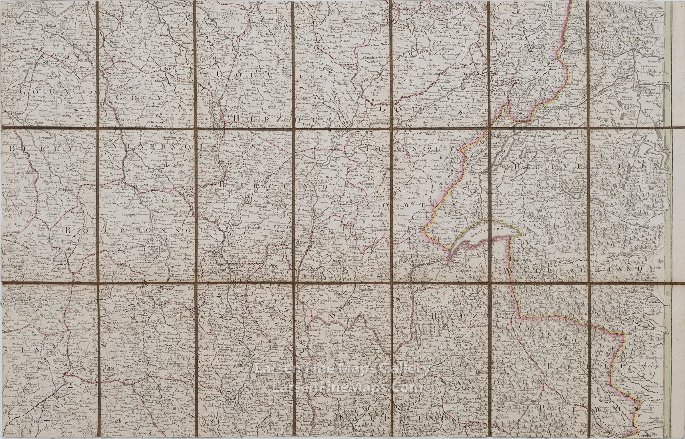
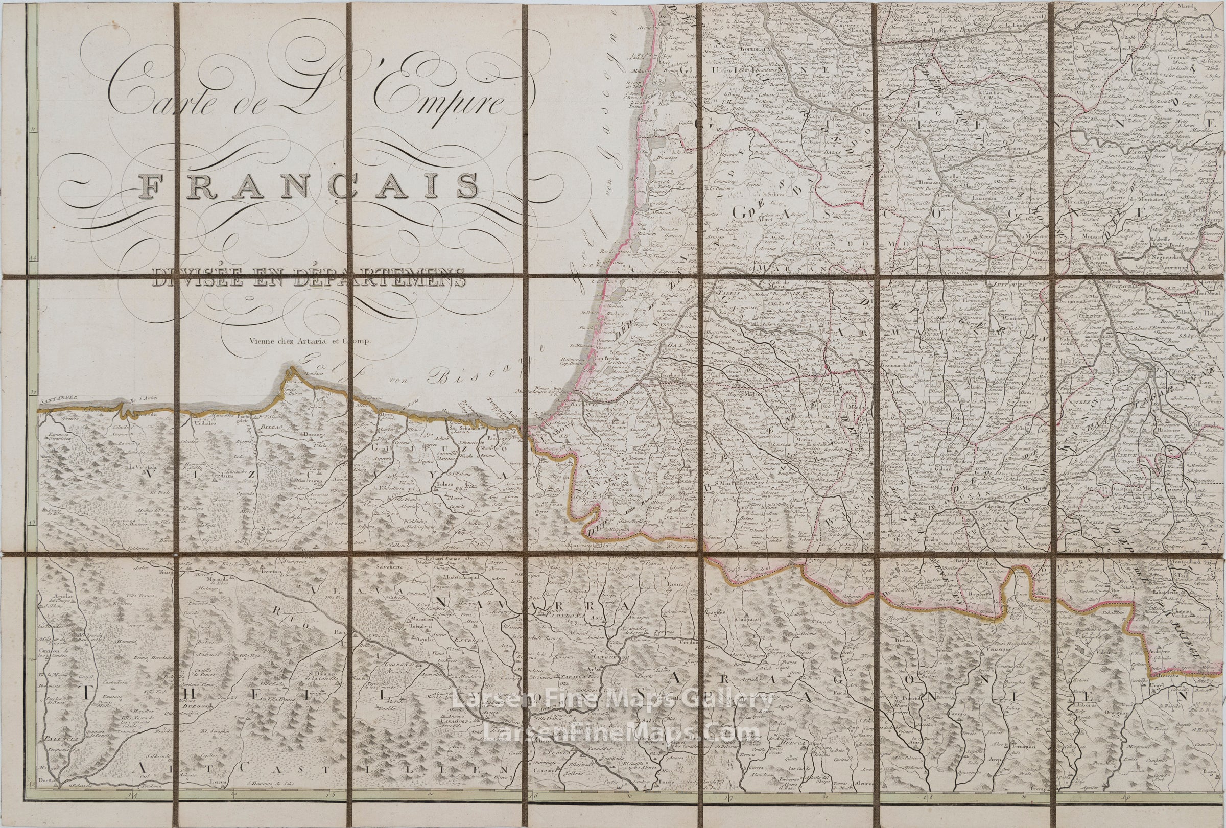
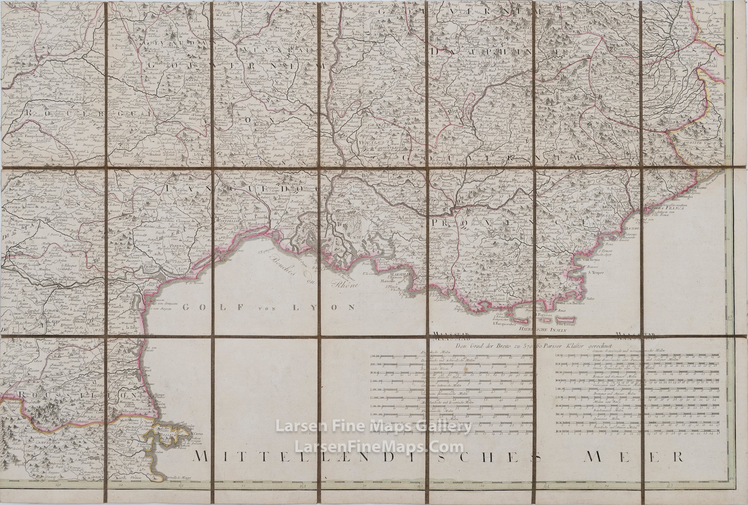
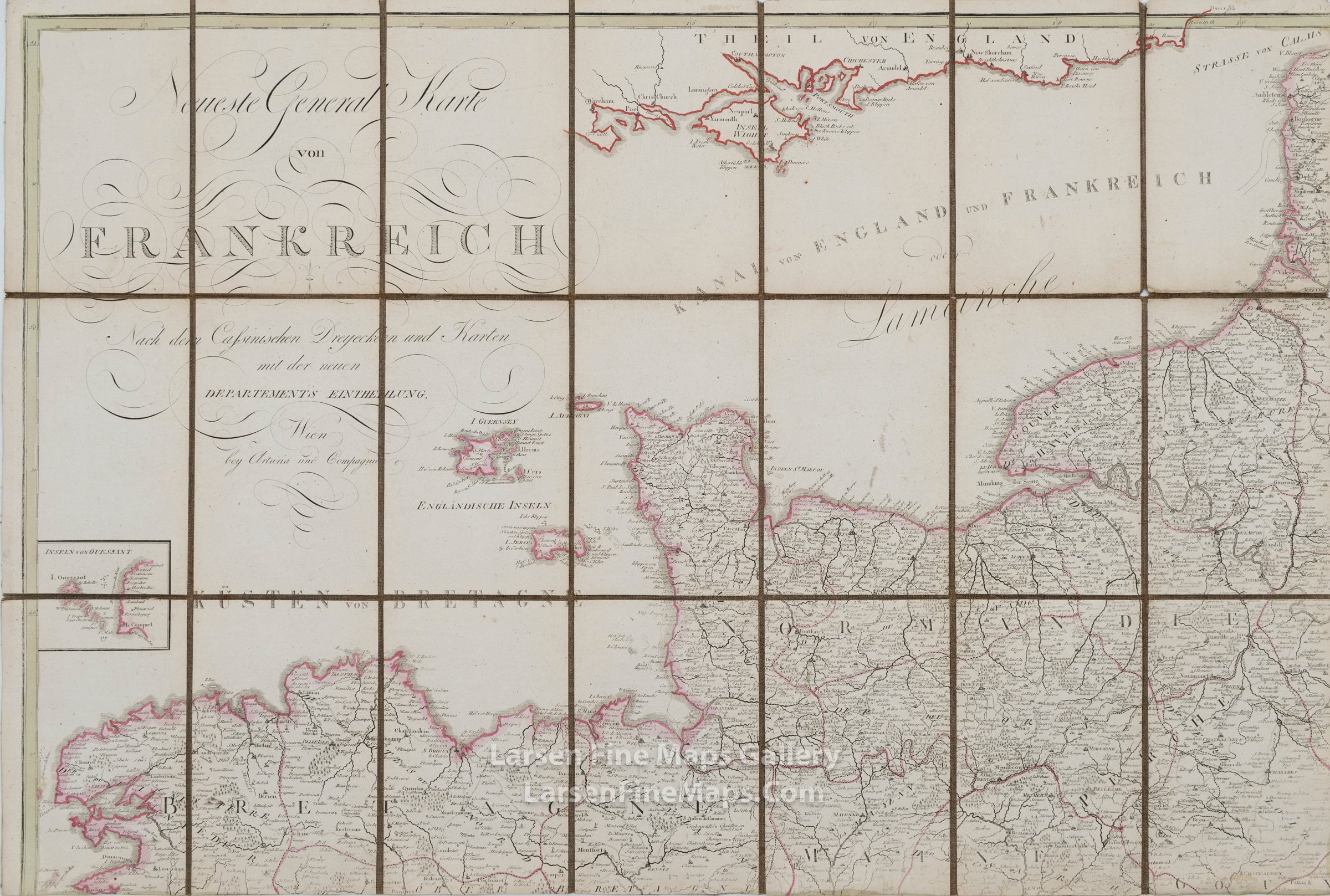
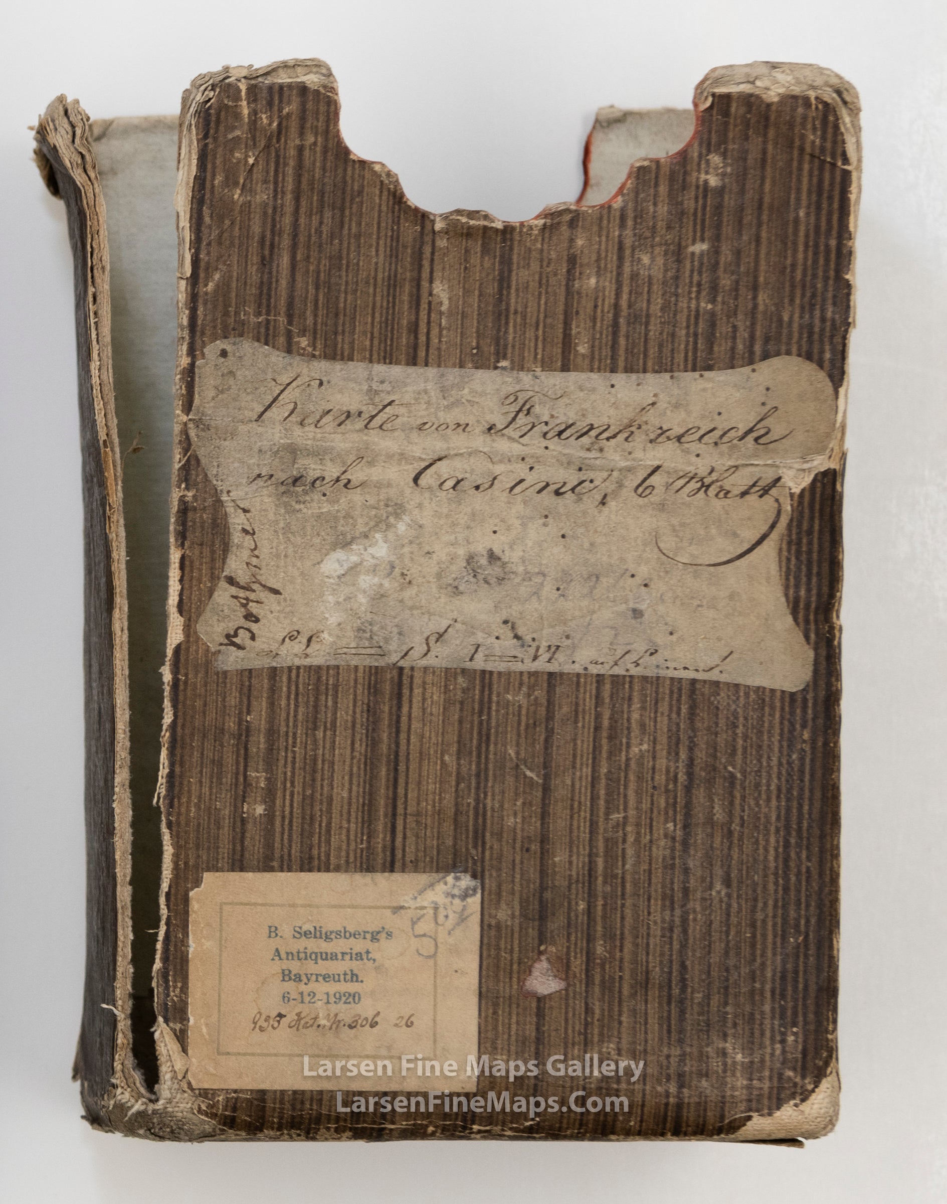
Neueste General Karte von Frankreich (circa 1810), Artaria and Company; after Franz Anton Schraembl.
Neueste General Karte von Frankreich, Antique Map of France, Franz Anton Schraembl
Neueste General Karte von Frankreich, Antique Map of France, Franz Anton Schraembl, example-1
Neueste General Karte von Frankreich, Antique Map of France, Franz Anton Schraembl, example-2
Neueste General Karte von Frankreich, Antique Map of France, Franz Anton Schraembl, example-3
Neueste General Karte von Frankreich, Antique Map of France, Franz Anton Schraembl, example-4
Neueste General Karte von Frankreich, Antique Map of France, Franz Anton Schraembl, example-5
Neueste General Karte von Frankreich, Antique Map of France, Franz Anton Schraembl, example-6
Neueste General Karte von Frankreich, Antique Map of France, Franz Anton Schraembl, example-7

YEAR PUBLISHED: 1810

Neueste General Karte von Frankreich (circa 1810)

Sale price$900.00
SKU: 1721

DESCRIPTION

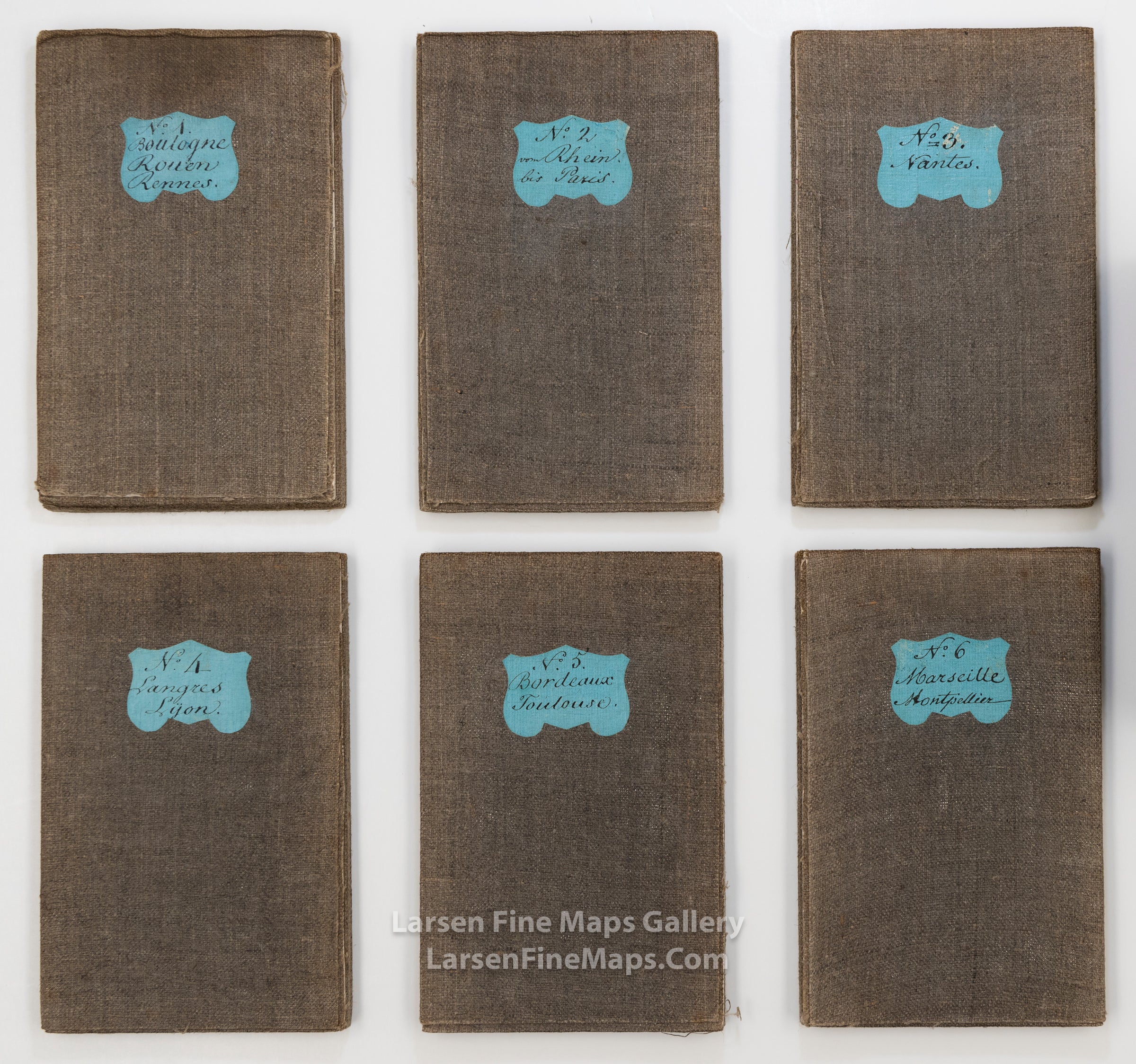
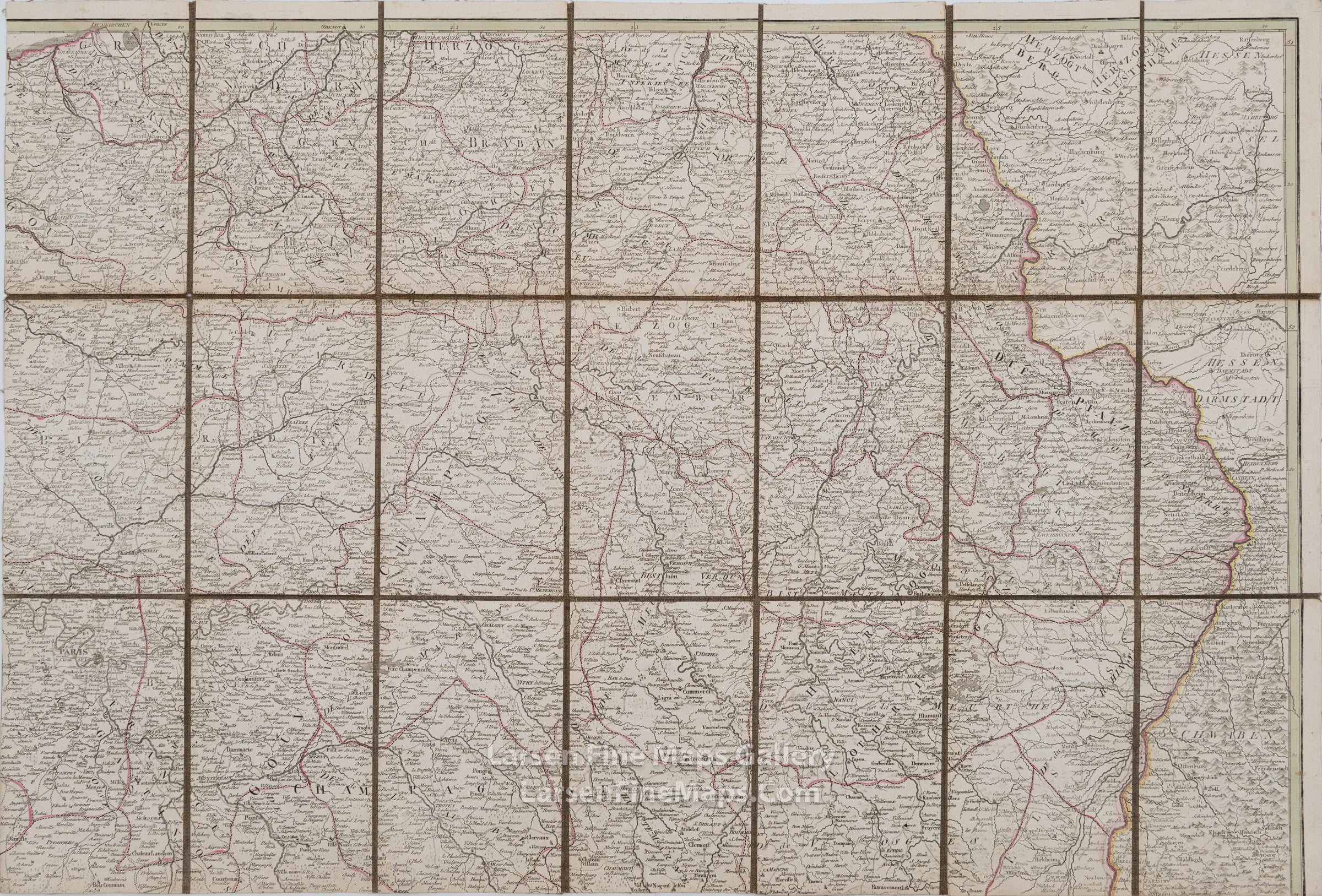
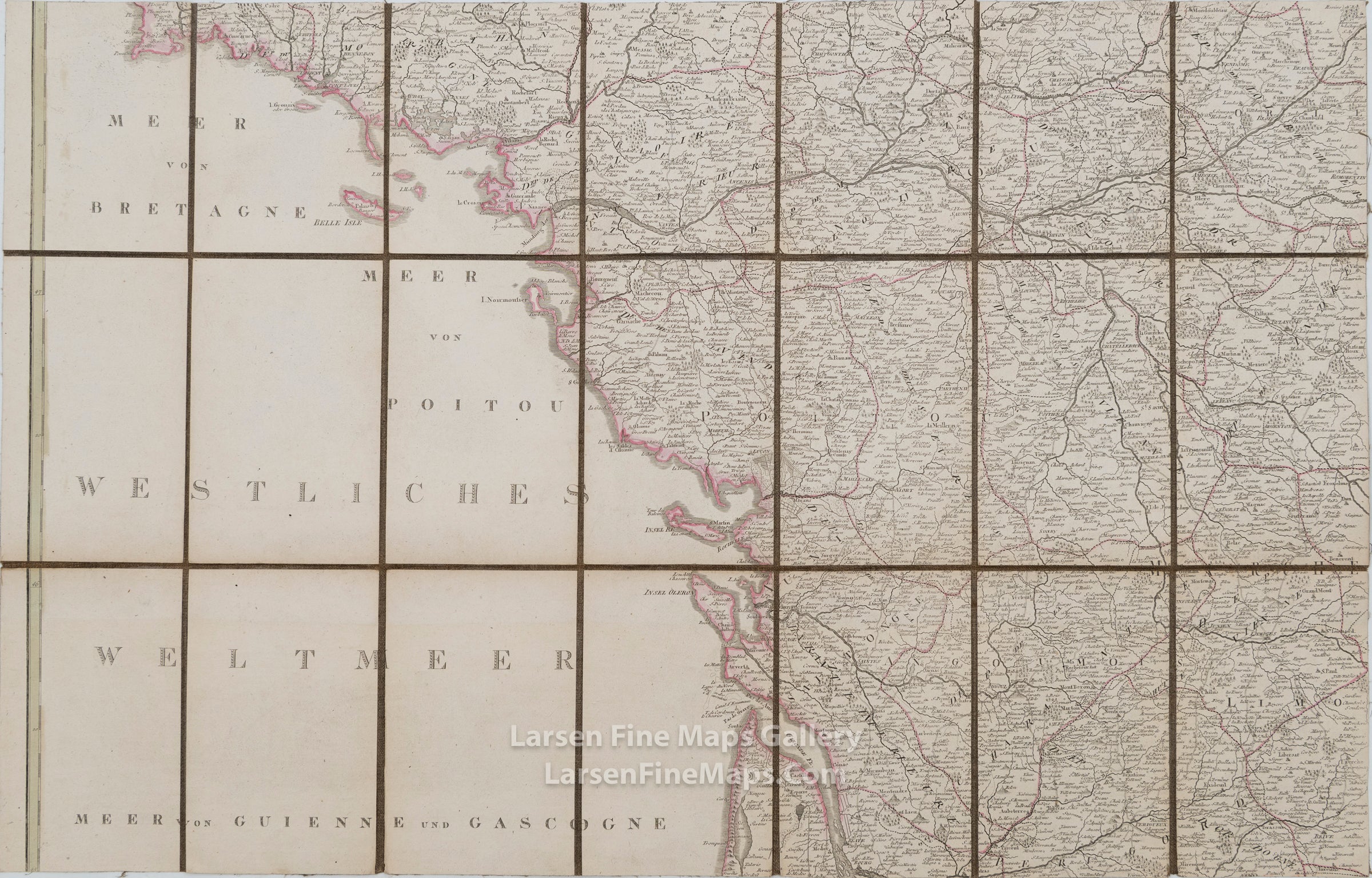
(FRANCE.) Artaria and Company; after Franz Anton Schraembl. Neueste General Karte von Frankreich Nach den Cassinischen Dreycken und Karten mit der neuen Departement's Eintheilung. Enormous engraved case map of France. 6 sections, approximately 20 1/2x30 1/2 inches each, segmented and mounted to original dark linen back and folding into original paste-paper slipcase with manuscript title label; original hand-color in outline; case worn and partly split, map sheets with no major flaws. Vienna, circa 1810

FULL TITLE

Neueste General Karte von Frankreich Nach den Cassinischen Dreycken und Karten mit der neuen Departement's Eintheilung

MAPMAKER/CARTOGRAPHER/AUTHOR

Artaria and Company; after Franz Anton Schraembl.

PUBLISHER

Artaria and Company, Vienna; Artaria und Compagnie, Wien

PUBLICATION

DIMENSIONS (Inches)

30.5 X 20.5

CONDITION

Very fine with slight overall toning. Case is worn and torn. See photos for details.