YEAR PUBLISHED: 1851
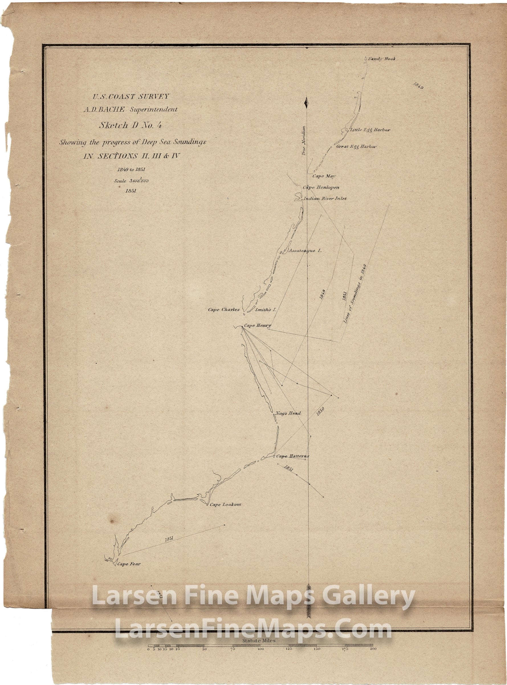
Sketch D. No. 4 Showing the Progress of Deep Sea Soundings in Sections II, III, and IV 1849 to 1851
DESCRIPTION
A small chart showing deep soundings along The Mid Atlantic coast from Sandy Hook south to Cape Henlopen, Cape Charles, Cape Henry, Cape Hatteras and to Cape Fear.
FULL TITLE
MAPMAKER/CARTOGRAPHER/AUTHOR
PUBLISHER
PUBLICATION
DIMENSIONS (Inches)
CONDITION
Choose options

DESCRIPTION
FULL TITLE
MAPMAKER/CARTOGRAPHER/AUTHOR
PUBLISHER
PUBLICATION
DIMENSIONS (Inches)
CONDITION
DESCRIPTION
FULL TITLE
MAPMAKER/CARTOGRAPHER/AUTHOR
PUBLISHER
PUBLICATION
DIMENSIONS (Inches)
CONDITION