YEAR PUBLISHED: 1950
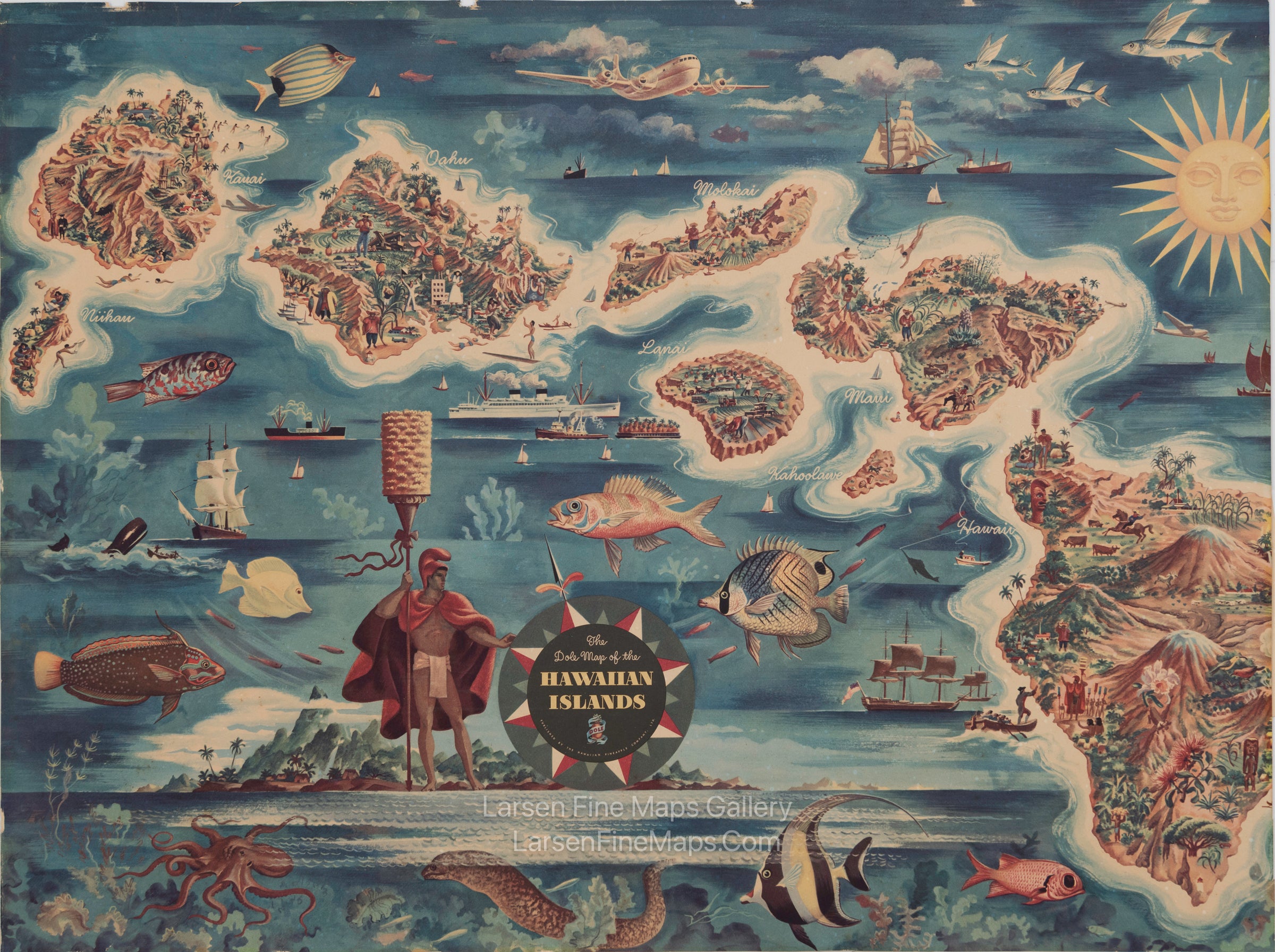
The Dole Map of the Hawaiian Islands
DESCRIPTION
This is a very nice pictorial map of Hawaii from 1950. Unfortunately, the original framer cropped the map, apparently to fit a standard frame. The right side has the most cropped section.
FULL TITLE
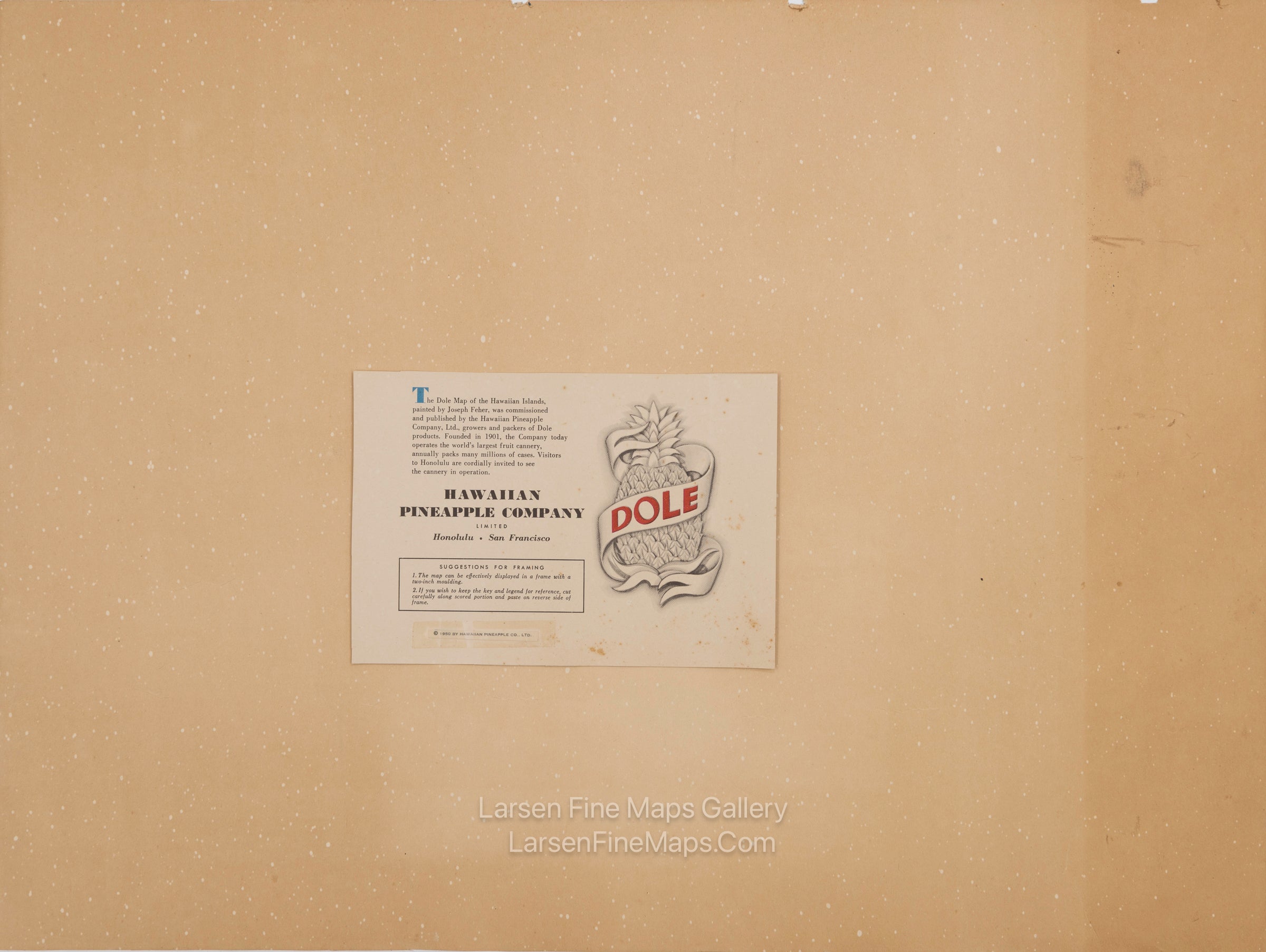
MAPMAKER/CARTOGRAPHER/AUTHOR
PUBLISHER
PUBLICATION
DIMENSIONS (Inches)
CONDITION
Choose options
DESCRIPTION
FULL TITLE
MAPMAKER/CARTOGRAPHER/AUTHOR
PUBLISHER
PUBLICATION
DIMENSIONS (Inches)
CONDITION
DESCRIPTION
FULL TITLE
MAPMAKER/CARTOGRAPHER/AUTHOR
PUBLISHER
PUBLICATION
DIMENSIONS (Inches)
CONDITION