YEAR PUBLISHED: 1854
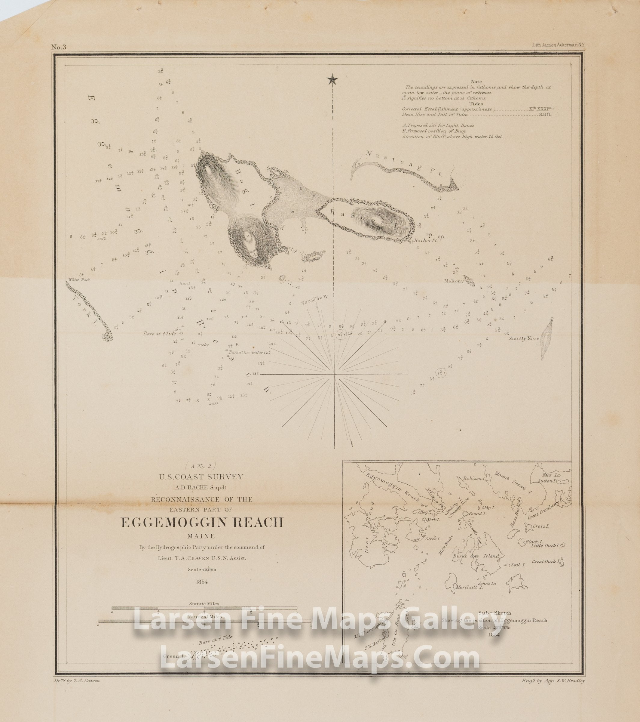
Reconnaissance of the Eastern Part of Eggemoggin Reach Maine
DESCRIPTION
Chart of Eggemoggin Reach, Maine near between Deer Island and Nasteag Point. Shows nice detail of Hog Island and Harbor Island by Nasteag Point. Includes depth soundings and hazards to the mariner. Includes a regional inset map showing surrounding islands and waterways.
FULL TITLE
MAPMAKER/CARTOGRAPHER/AUTHOR
PUBLISHER
PUBLICATION
DIMENSIONS (Inches)
CONDITION
Choose options
DESCRIPTION
FULL TITLE
MAPMAKER/CARTOGRAPHER/AUTHOR
PUBLISHER
PUBLICATION
DIMENSIONS (Inches)
CONDITION
DESCRIPTION
FULL TITLE
MAPMAKER/CARTOGRAPHER/AUTHOR
PUBLISHER
PUBLICATION
DIMENSIONS (Inches)
CONDITION