YEAR PUBLISHED: 1829
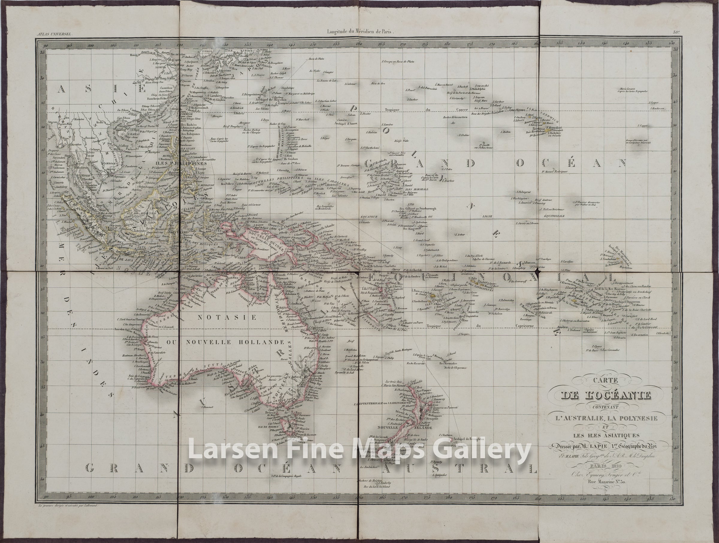
Carte De l'Oceanie Contenant L'Australie, La Polynesie et Les Iles Asiatiques
DESCRIPTION
Striking and highly detailed fine unusual original first edition example of M. Lapie's 1829 copper engraved map of Australia, New Zealand, Polynesia, and the east India Islands. This map covers from Southeast Asia eastward as far as the remote Polynesian islands of elisabeth and Henderson, and from Japan Southwards to include all of Australia, Tasmania, and New Zealand. The map identifies countless islands throughout Polynesia including the major archipelagos: the Marquesas, the Friendly Islands the Sandwich Islands (Hawaii), Tahiti, New Hebrides, and the Solomon Islands.
This map has been dessicated and mounted on linen.
FULL TITLE
MAPMAKER/CARTOGRAPHER/AUTHOR
PUBLISHER
PUBLICATION
DIMENSIONS (Inches)
CONDITION
Choose options
DESCRIPTION
FULL TITLE
MAPMAKER/CARTOGRAPHER/AUTHOR
PUBLISHER
PUBLICATION
DIMENSIONS (Inches)
CONDITION
DESCRIPTION
FULL TITLE
MAPMAKER/CARTOGRAPHER/AUTHOR
PUBLISHER
PUBLICATION
DIMENSIONS (Inches)
CONDITION