YEAR PUBLISHED: 1853
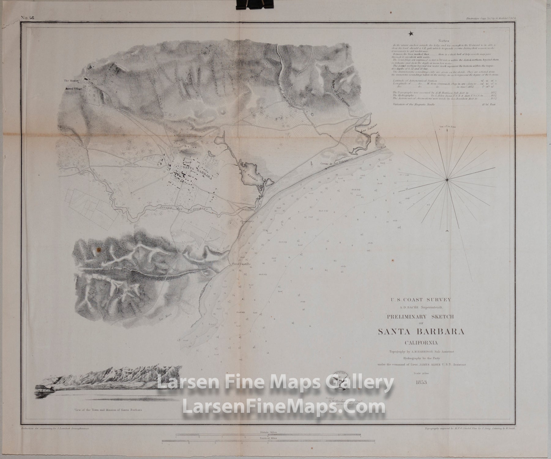
Preliminary Sketch of Santa Barbara California
DESCRIPTION
Chart shows great detail of the City of Santa Barbara and surrounding area including The Mission, Presidio, La Mesa, Arroyo del Pedregosa (Mission Creek), farmland, and topography (hachures). Bathymetry shown by depth soundings and isolines. Some notations on kelp and bottom conditions also given along with anchorage remarks and notes to the mariner. A very beautiful chart and one of the earliest available for Santa Barbara. This chart also has a very nice elevation view of the area and approach.
FULL TITLE
MAPMAKER/CARTOGRAPHER/AUTHOR
PUBLISHER
PUBLICATION
DIMENSIONS (Inches)
CONDITION
Choose options
DESCRIPTION
FULL TITLE
MAPMAKER/CARTOGRAPHER/AUTHOR
PUBLISHER
PUBLICATION
DIMENSIONS (Inches)
CONDITION
DESCRIPTION
FULL TITLE
MAPMAKER/CARTOGRAPHER/AUTHOR
PUBLISHER
PUBLICATION
DIMENSIONS (Inches)
CONDITION