YEAR PUBLISHED: 1836
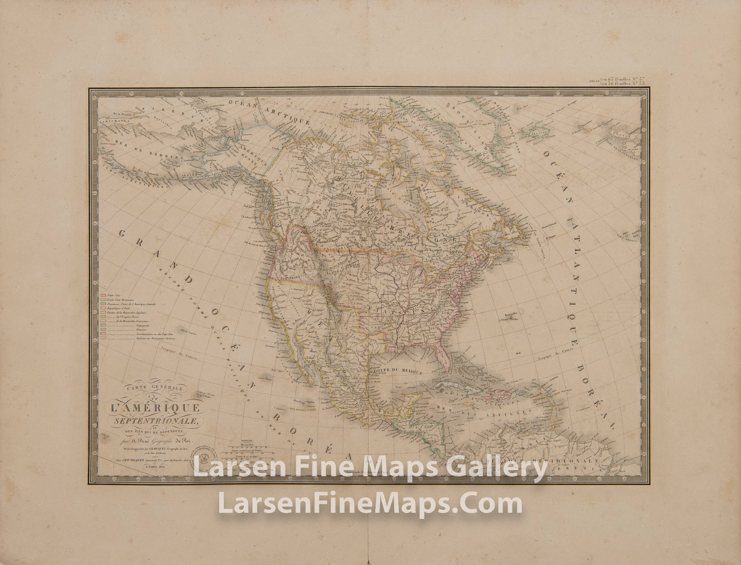
Carte Generale de l'Amerique Septentrionale, et des Iles qui en Dependent
DESCRIPTION
This is a very striking map of North America just prior to Texas becoming independent. The map shows territories as known and claimed by the many countries exploring the regions. Waterways, Indian tribes, harbors/ports are shown and relief shown pictorially. There is substantial detail shown as a result of the vast levels of exploration and searching for the Northwest Passage and other explorations.
FULL TITLE
MAPMAKER/CARTOGRAPHER/AUTHOR
PUBLISHER
PUBLICATION
DIMENSIONS (Inches)
CONDITION
Choose options
DESCRIPTION
FULL TITLE
MAPMAKER/CARTOGRAPHER/AUTHOR
PUBLISHER
PUBLICATION
DIMENSIONS (Inches)
CONDITION
DESCRIPTION
FULL TITLE
MAPMAKER/CARTOGRAPHER/AUTHOR
PUBLISHER
PUBLICATION
DIMENSIONS (Inches)
CONDITION