
YEAR PUBLISHED: 1904
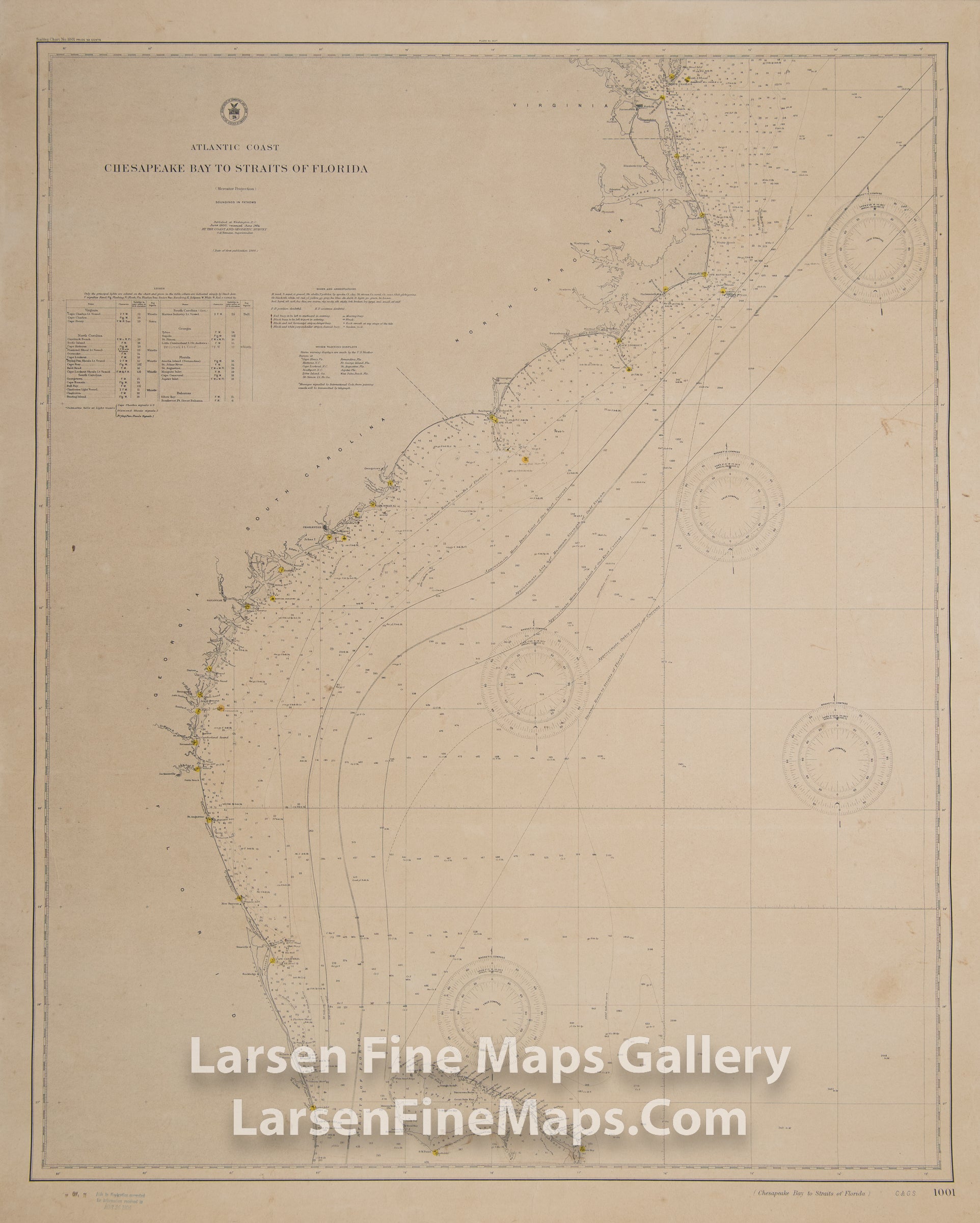
Atlantic Coast Chesapeake Bay to Straits of Florida
DESCRIPTION
This is a 1904 edition of the Coast Survey chart of the south east portion of the US Coast. The chart shows the Atlantic Coast from the Chesapeake Bay to the Straits of Florida with aids to navigation colored in yellow (dots). The chart shows a great deal of bathymetric data (soundings), aids and hazards to navigation and coastal places, ports, harbors, rivers etc. Several compass roses are shown as well. This is a used chart but remains intact. Heavy paper, thick paper edition.
FULL TITLE
MAPMAKER/CARTOGRAPHER/AUTHOR
PUBLISHER
PUBLICATION
DIMENSIONS (Inches)
CONDITION
Choose options
DESCRIPTION
FULL TITLE
MAPMAKER/CARTOGRAPHER/AUTHOR
PUBLISHER
PUBLICATION
DIMENSIONS (Inches)
CONDITION
DESCRIPTION
FULL TITLE
MAPMAKER/CARTOGRAPHER/AUTHOR
PUBLISHER
PUBLICATION
DIMENSIONS (Inches)
CONDITION