YEAR PUBLISHED: 1883
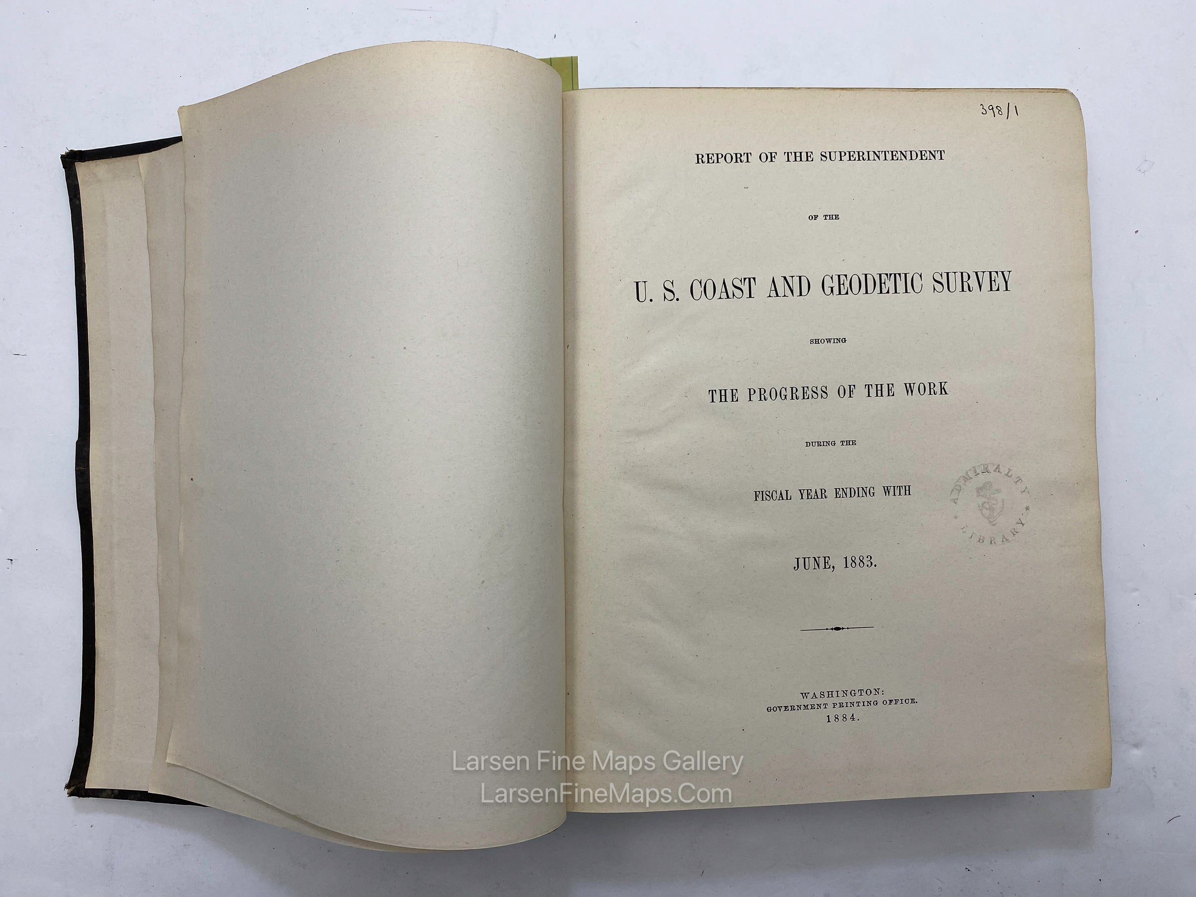
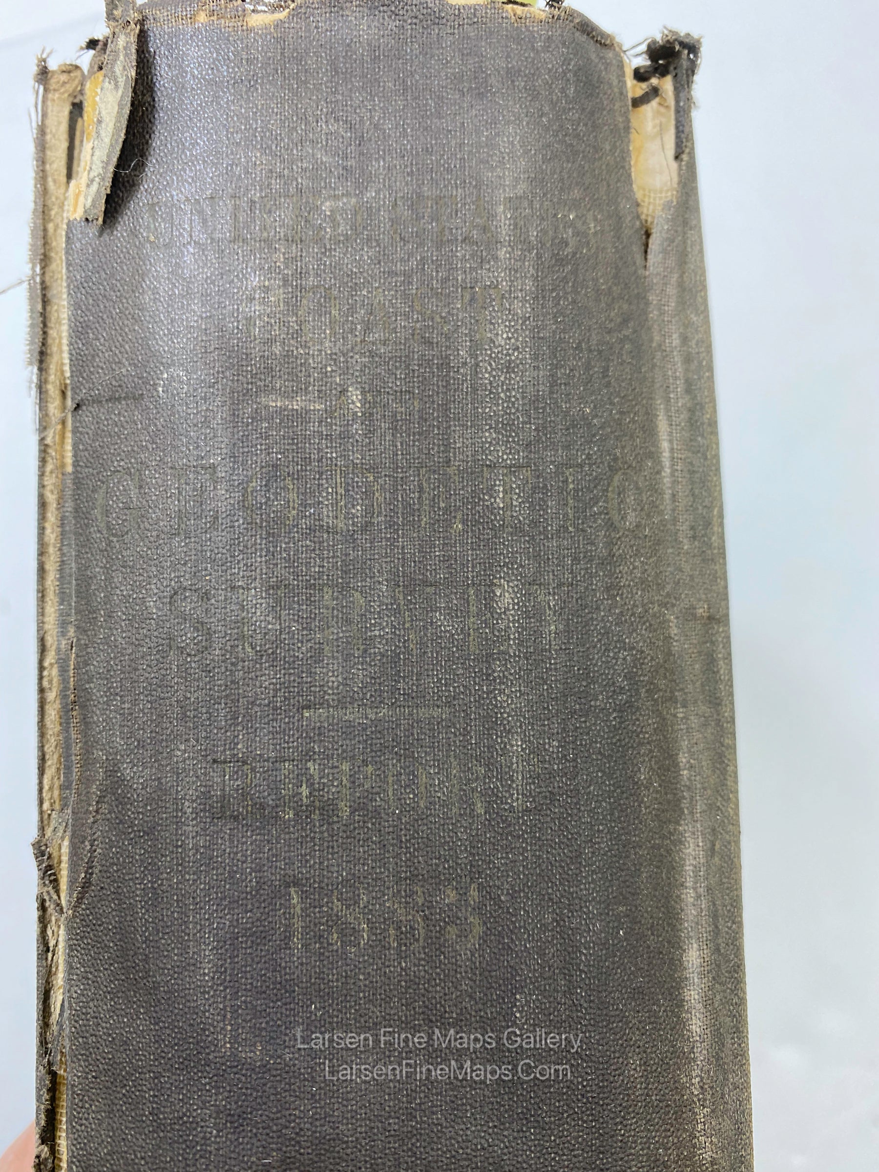
Report of The Superintendent of the U.S. Coast and Geodetic Survey showing The Progress of The Work during the Fiscal Year Ending With June, 1883
DESCRIPTION
Annual Report of the Superintendent, Coast and Geodetic Survey to the Secretary of Commerce and Labor.
The report(s) and maps are formerly of the British Admiralty Library's collection. Numerous fold-out maps and/or charts.
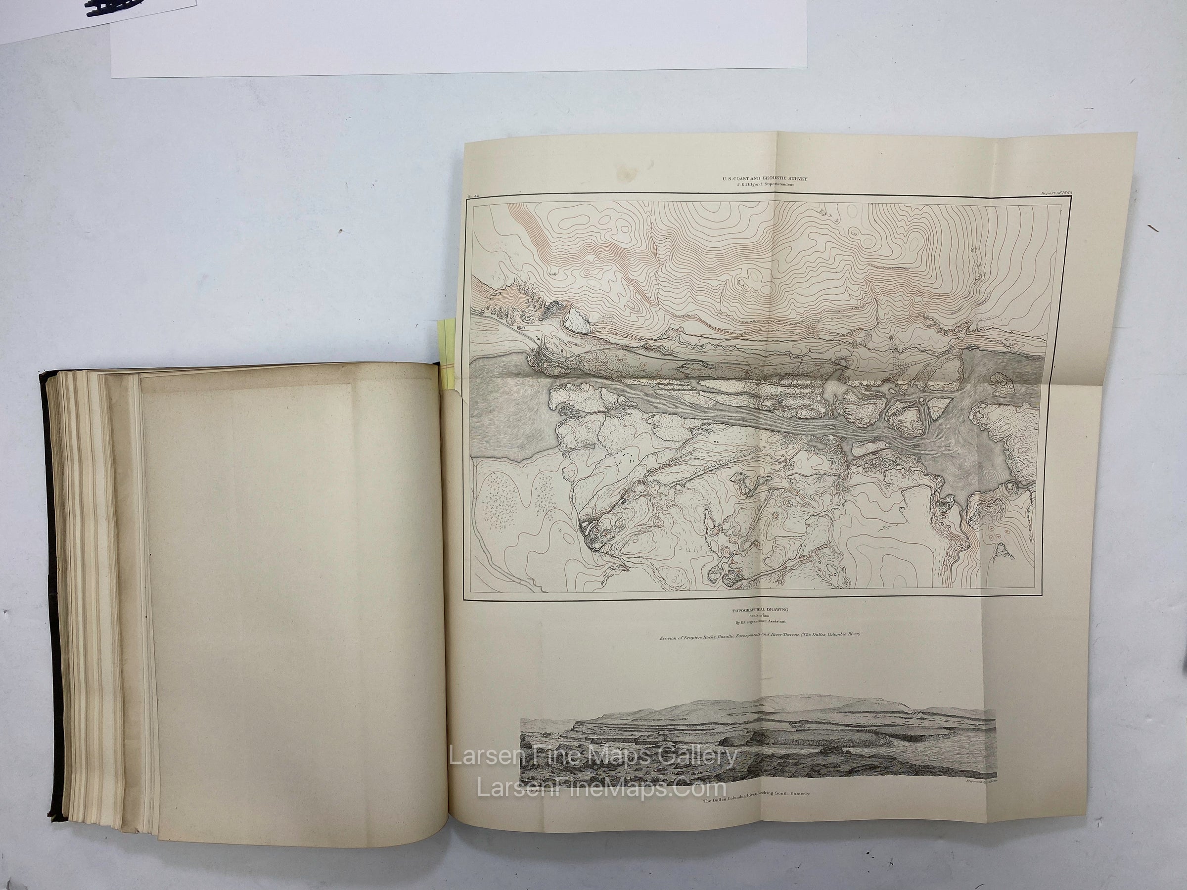
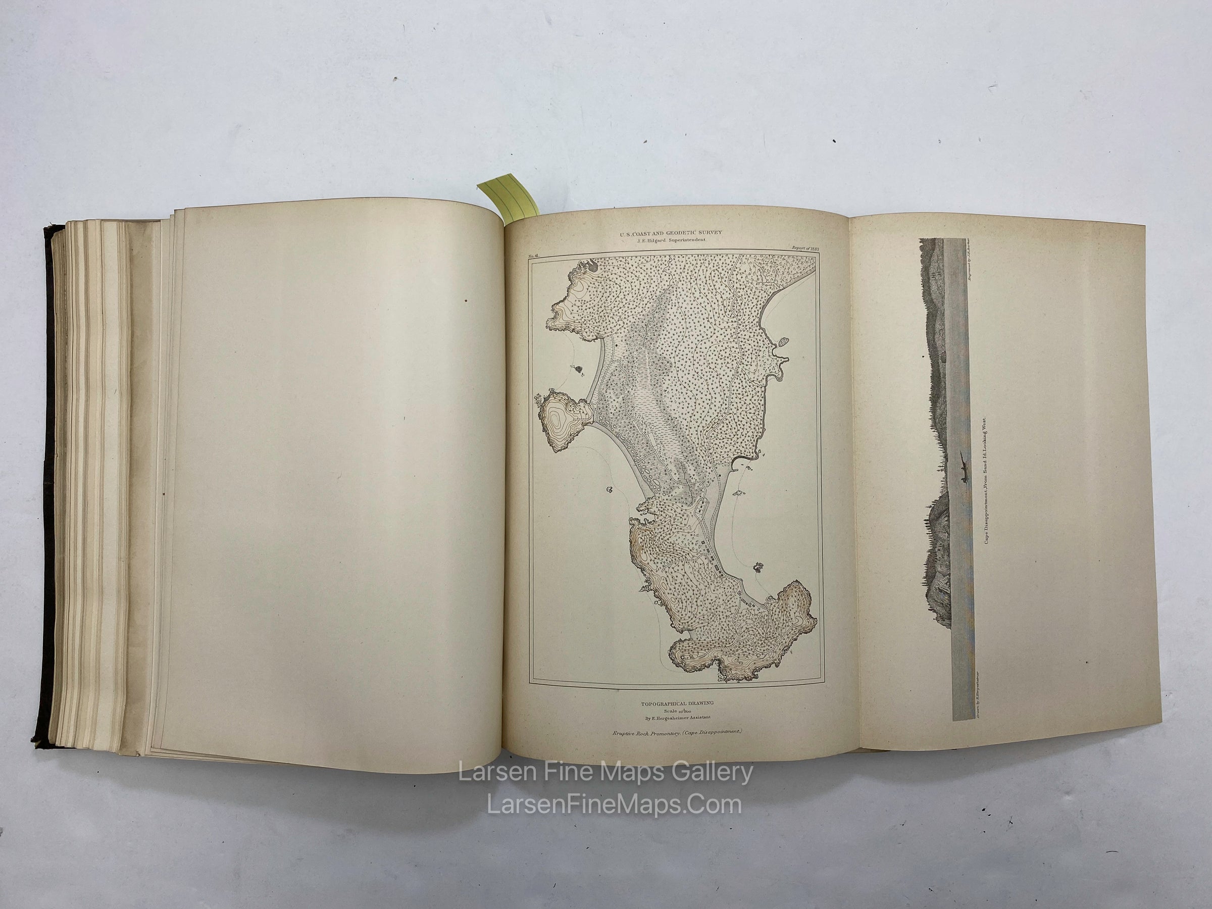
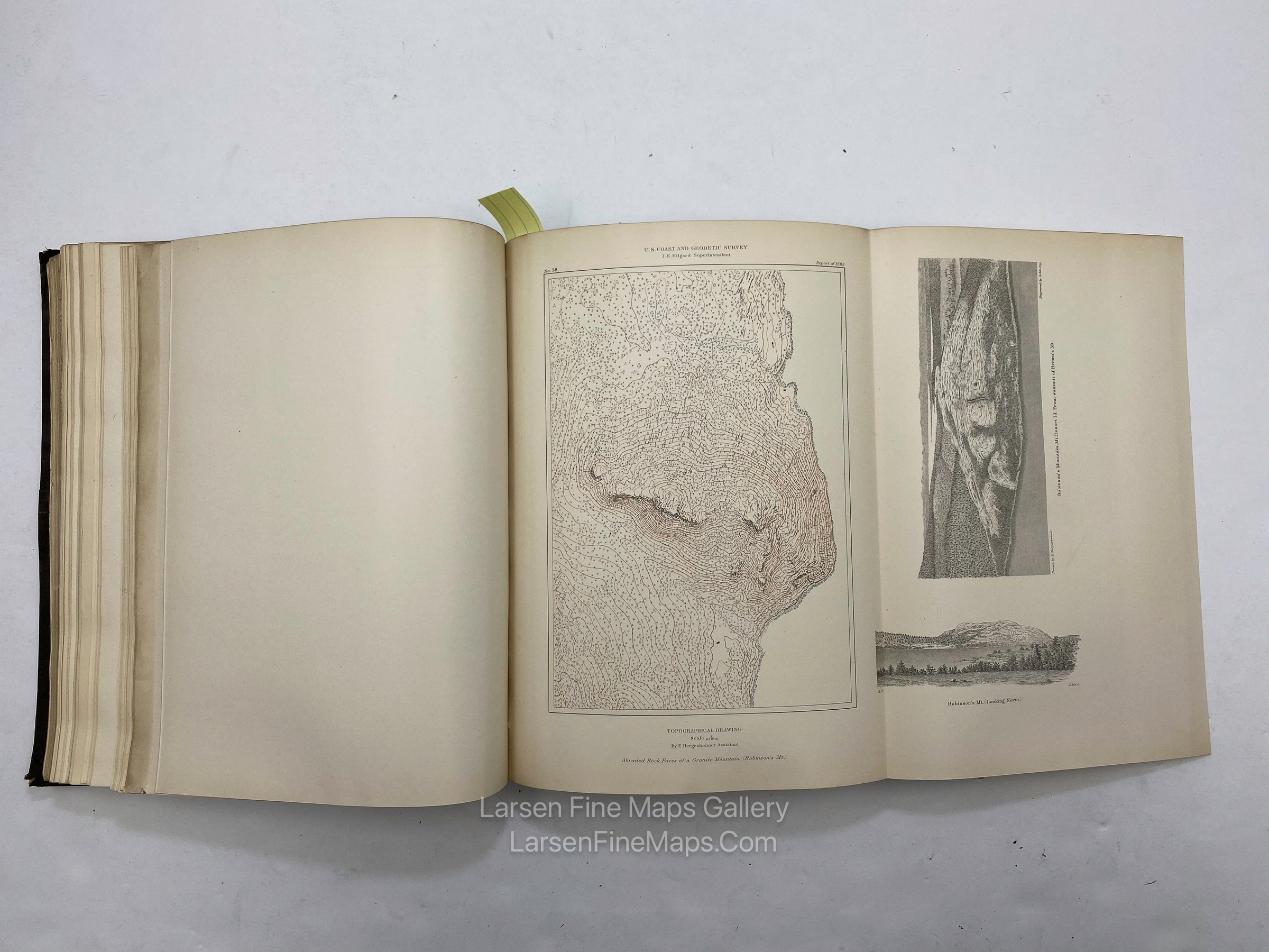
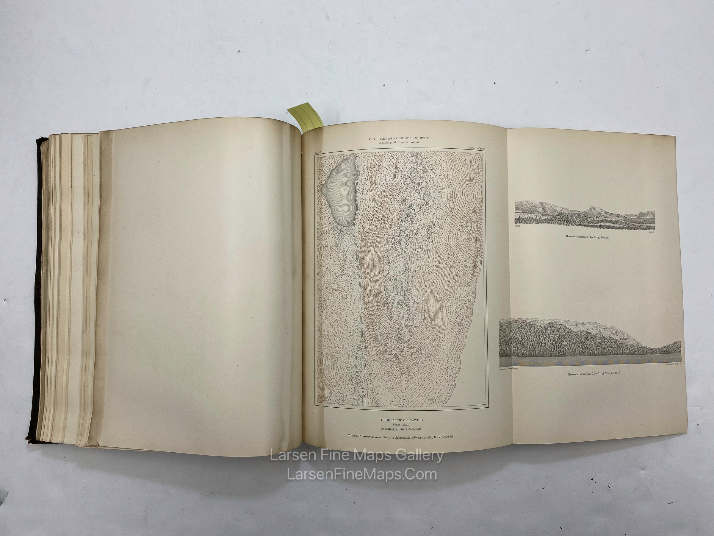
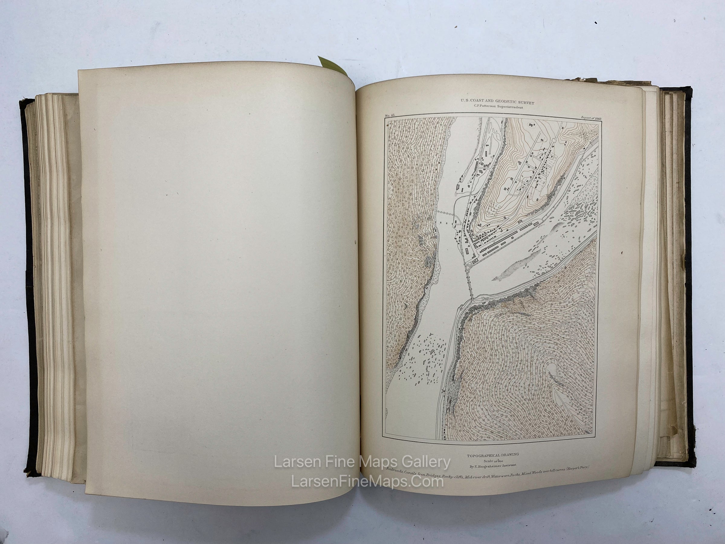
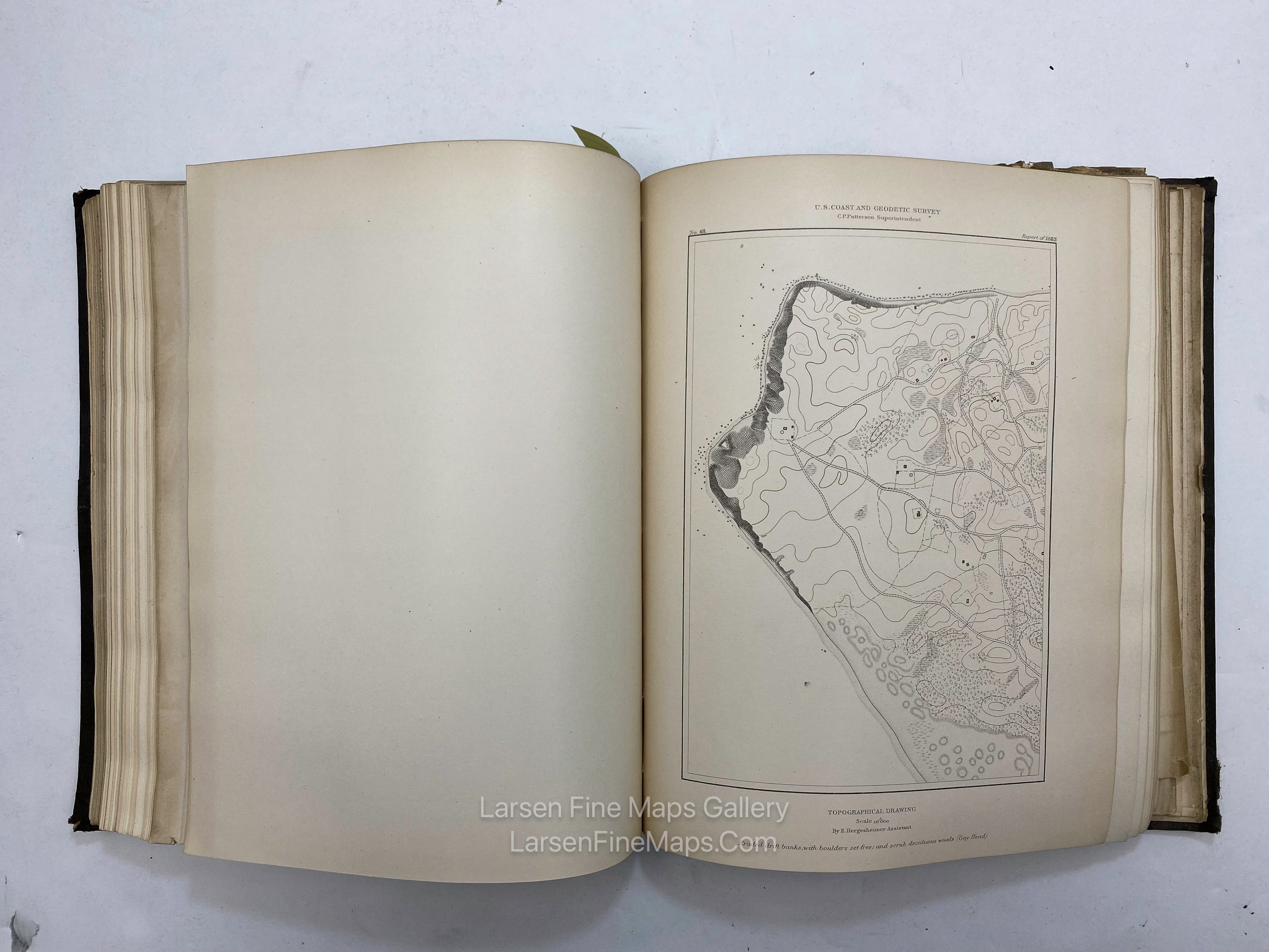
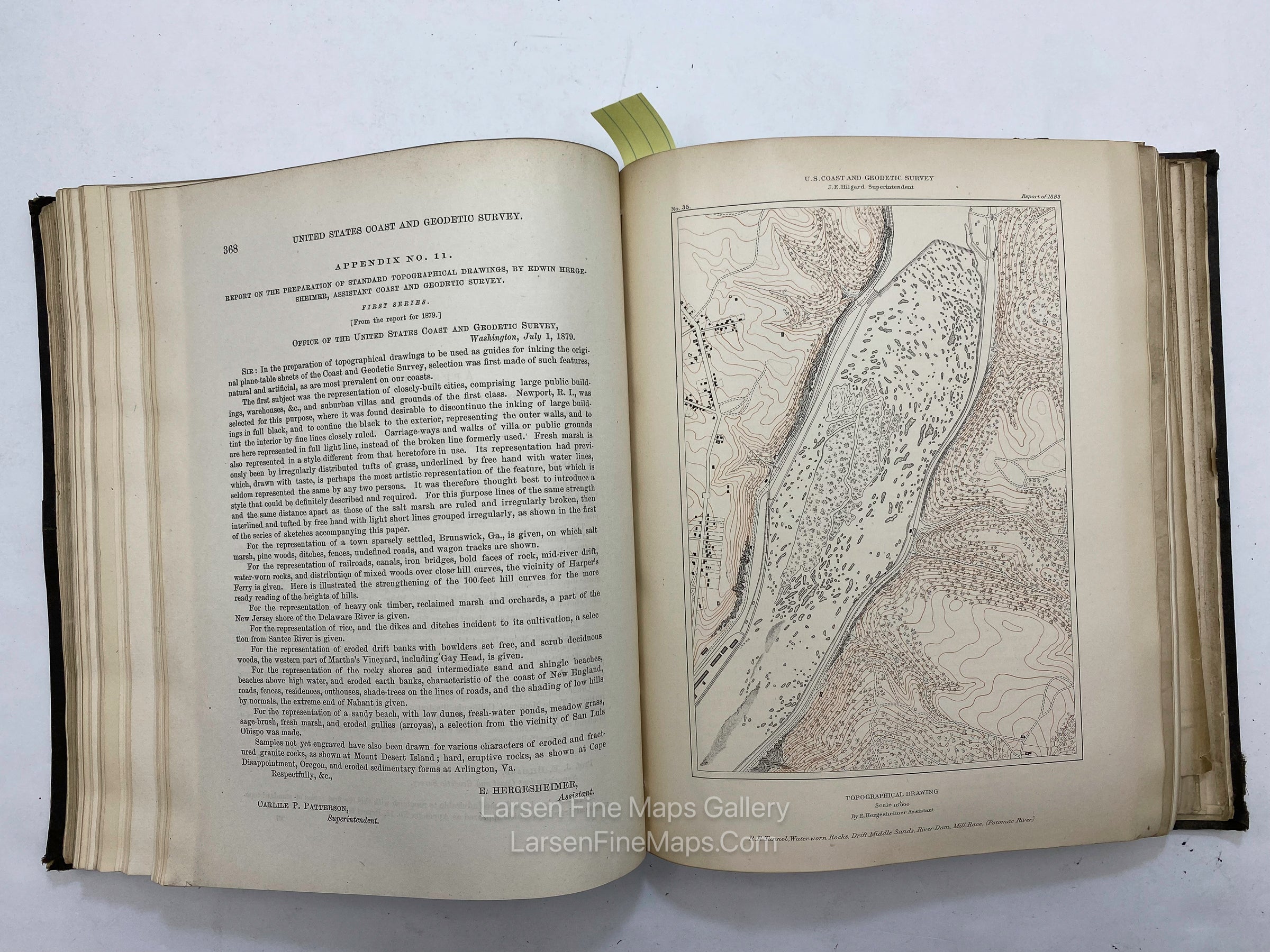
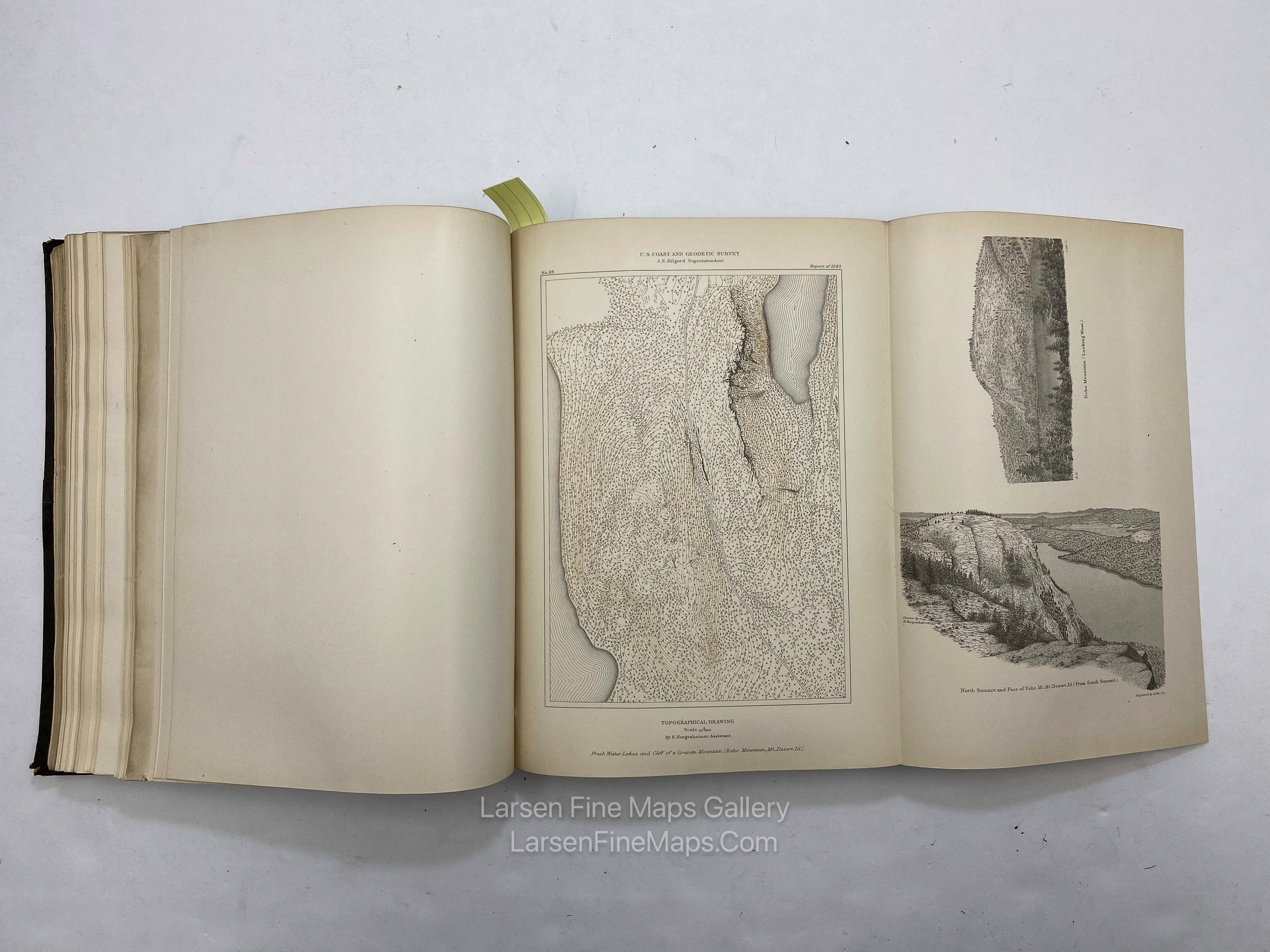
This set is important as it contains a large number of thick-paper inserts showing the methods and standards for the new topographic elements of modern cartography. These are very interesting to cartographers.
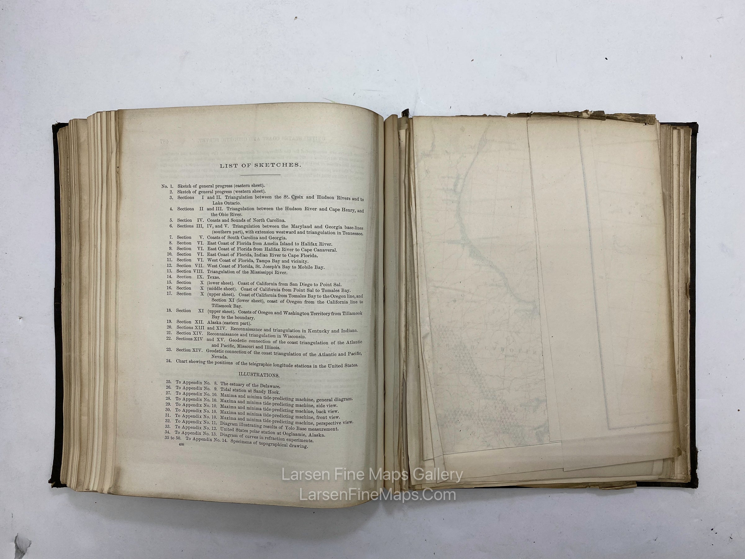
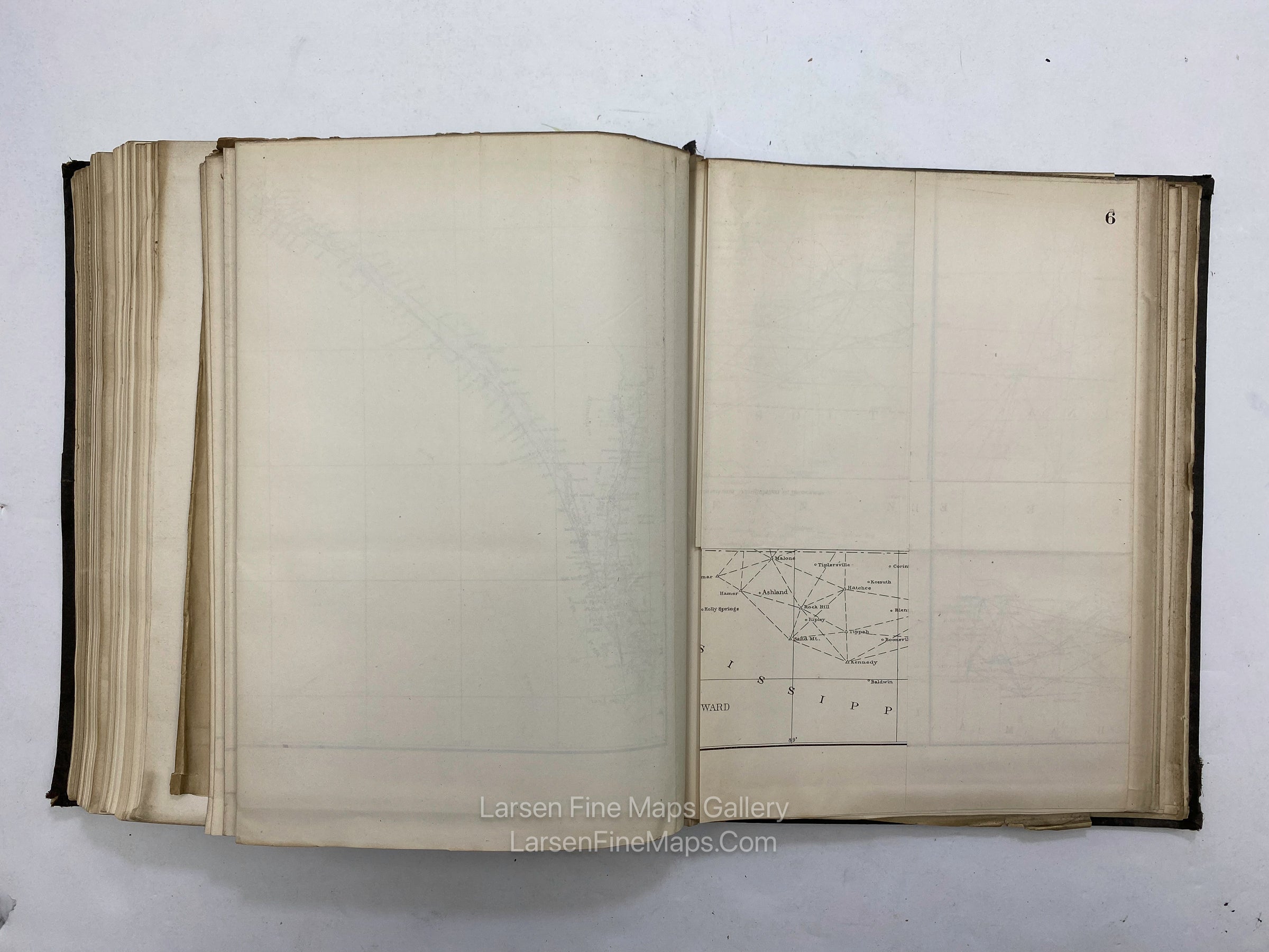
Includes the many charts shown in the index, including 3 nice California coastal triangulation charts.
Some place names in the list of Sketches (see specific titles in the index photo):
- St. Croix, Hudson River, Lake Ontario
- Cape Henry, Ohio River
- North Carolina Sounds
- Maryland and Georgia Baseline to Tennessee
- South Carolina and Georgia Coasts
- Florida, Amelia Island, Halifax River, Cape Canaveral, Indian River, Cape Florida, Tampa Bay, St. Joseph's Bay, Mobile Bay
- Mississippi River
- Texas
- California, San Diego to Point Sal
- California, Point Sal to Tomales Bay
- California, Tomales Bay to Oregon
- Oregon, Tillamook Bay
- Washington Territory
- Alaska
- Kentucky, Indiana
- Missouri, Illinois
- Nevada
FULL TITLE
MAPMAKER/CARTOGRAPHER/AUTHOR
PUBLISHER
PUBLICATION
DIMENSIONS (Inches)
CONDITION
Choose options

DESCRIPTION
FULL TITLE
MAPMAKER/CARTOGRAPHER/AUTHOR
PUBLISHER
PUBLICATION
DIMENSIONS (Inches)
CONDITION
DESCRIPTION
FULL TITLE
MAPMAKER/CARTOGRAPHER/AUTHOR
PUBLISHER
PUBLICATION
DIMENSIONS (Inches)
CONDITION