YEAR PUBLISHED: 1853
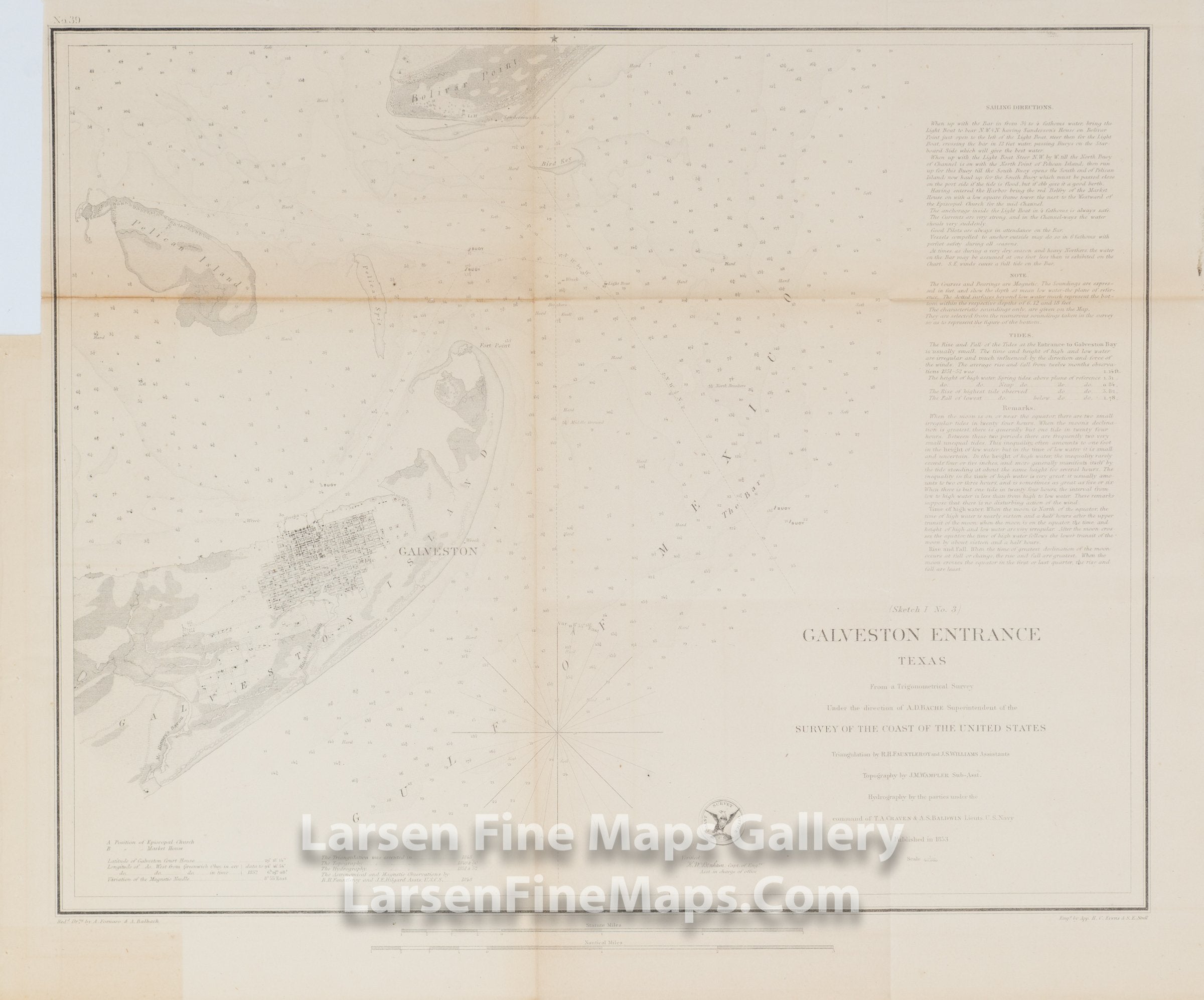
Sketch I No. 3 Galveston Entrance Texas
DESCRIPTION
Chart shows the Galveston Entrance between Galveston Island, Pelican Island and Bolivar Point. Very nice detail of the City of Galveston and surrounding areas are shown including streets, buildings, farms/pastures, vegetation etc. Bathymetry is given by numerous depth soundings, shading and isolines. Aids and hazards to navigation are given along with bearings, tidal information, sailing directions and notes.
FULL TITLE
MAPMAKER/CARTOGRAPHER/AUTHOR
PUBLISHER
PUBLICATION
DIMENSIONS (Inches)
CONDITION
Choose options
DESCRIPTION
FULL TITLE
MAPMAKER/CARTOGRAPHER/AUTHOR
PUBLISHER
PUBLICATION
DIMENSIONS (Inches)
CONDITION
DESCRIPTION
FULL TITLE
MAPMAKER/CARTOGRAPHER/AUTHOR
PUBLISHER
PUBLICATION
DIMENSIONS (Inches)
CONDITION