YEAR PUBLISHED: 1853
Reconnaissance of Sabine Pass
DESCRIPTION
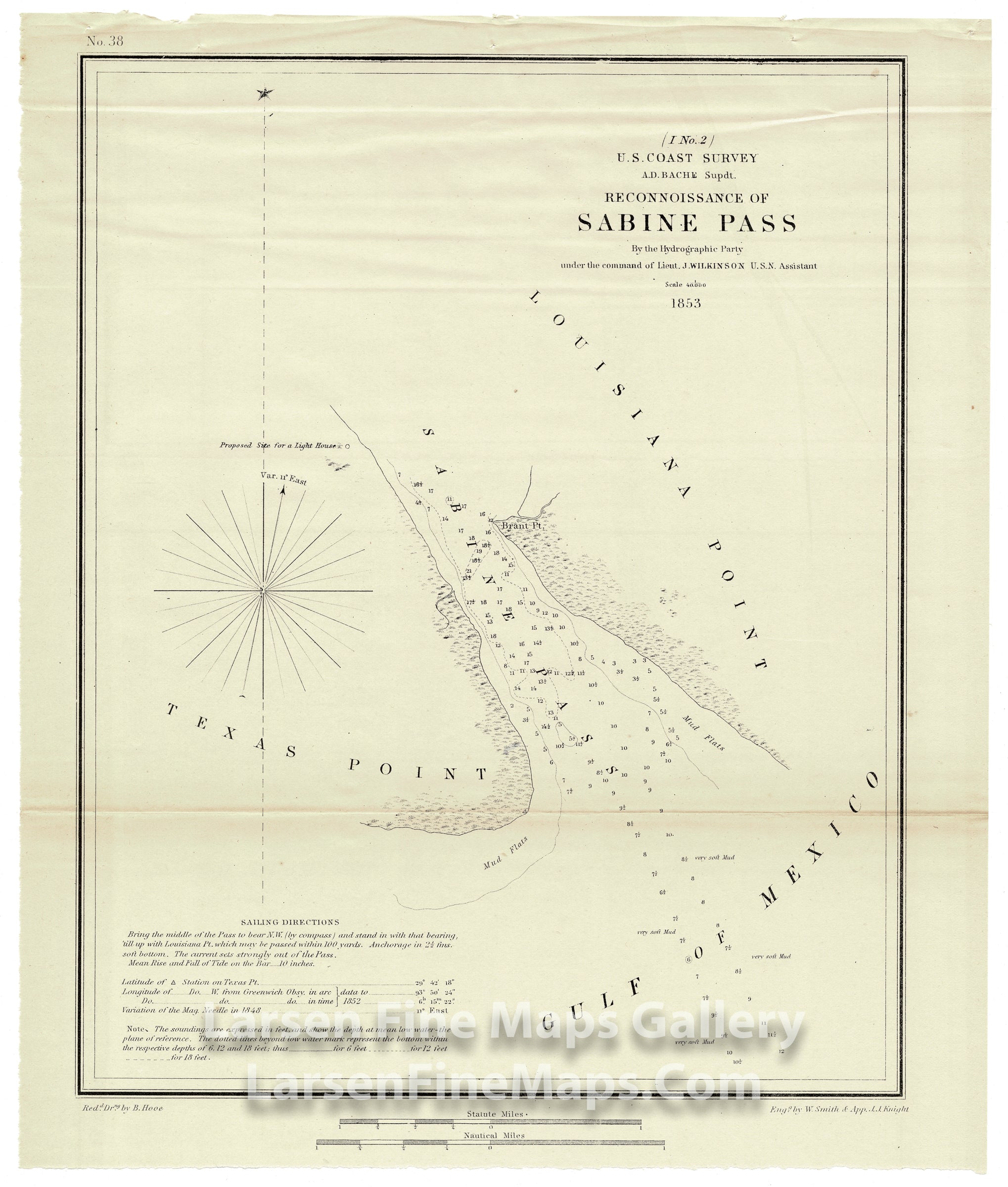
Chart showing Sabine Pass between Texas Point and Louisiana Point and up to Brant Point. The chart shows the site for a proposed lighthouse, depth soundings, isolines and bottom conditions. Some sailing directions and notes are also given.
FULL TITLE
MAPMAKER/CARTOGRAPHER/AUTHOR
PUBLISHER
PUBLICATION
DIMENSIONS (Inches)
CONDITION
Choose options
DESCRIPTION
FULL TITLE
MAPMAKER/CARTOGRAPHER/AUTHOR
PUBLISHER
PUBLICATION
DIMENSIONS (Inches)
CONDITION
DESCRIPTION
FULL TITLE
MAPMAKER/CARTOGRAPHER/AUTHOR
PUBLISHER
PUBLICATION
DIMENSIONS (Inches)
CONDITION