YEAR PUBLISHED: 1806
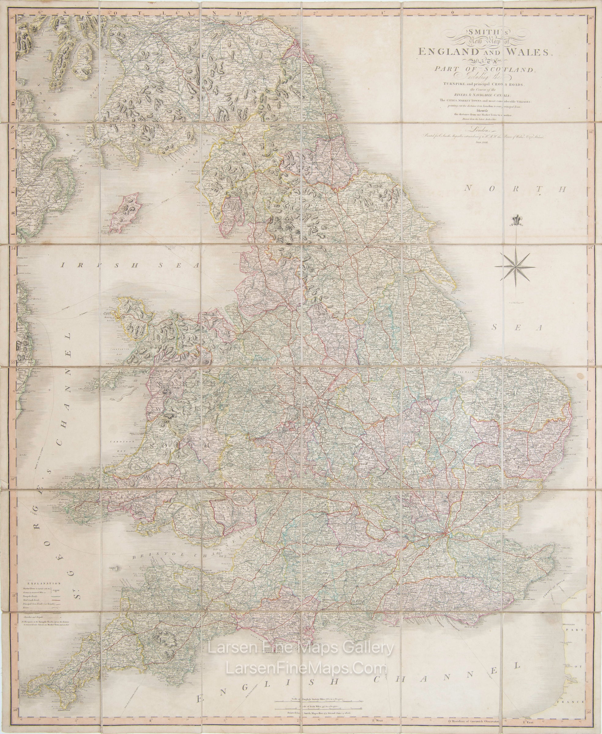
Smith's New Map of England and Wales, with Part of Scotland
DESCRIPTION
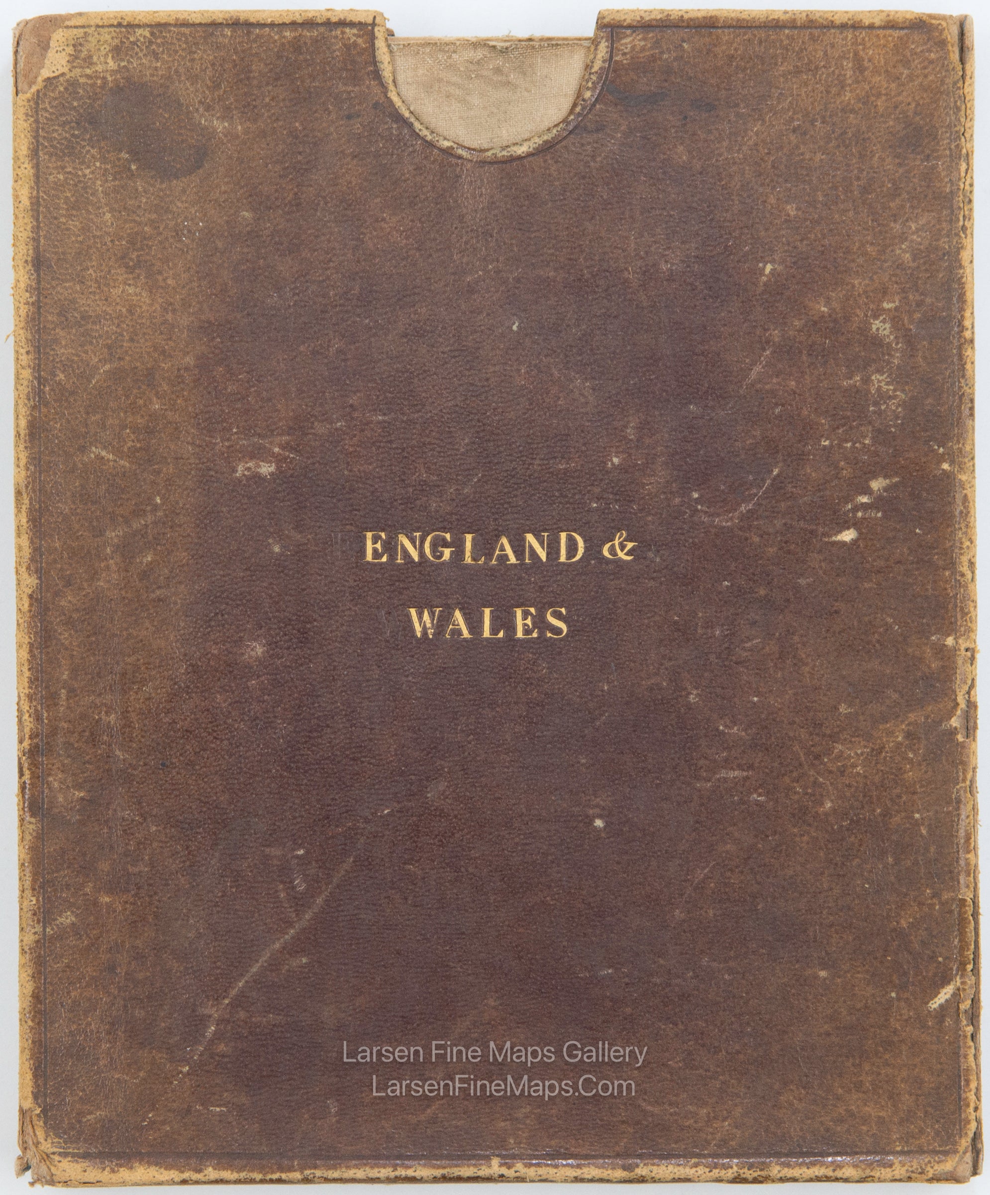
This is a richly colored desiccated map of England, Wales, and part of Scotland on linen. The map shows counties, principal cities, towns, various kinds of roads, and waterways/canals. Relief is shown pictorially by hachure. The map includes the case, which is well-worn but intact.
FULL TITLE
MAPMAKER/CARTOGRAPHER/AUTHOR
PUBLISHER
PUBLICATION
DIMENSIONS (Inches)
CONDITION
Choose options
DESCRIPTION
FULL TITLE
MAPMAKER/CARTOGRAPHER/AUTHOR
PUBLISHER
PUBLICATION
DIMENSIONS (Inches)
CONDITION
DESCRIPTION
FULL TITLE
MAPMAKER/CARTOGRAPHER/AUTHOR
PUBLISHER
PUBLICATION
DIMENSIONS (Inches)
CONDITION