YEAR PUBLISHED: 1862
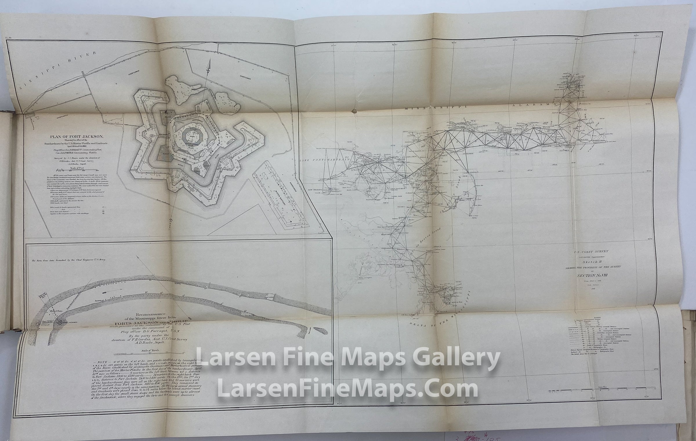
Sketch H Showing The Progress of The Survey in Section No. VIII From 1848 to 1862. Plan of Fort Jackson showing the effect of the Bombardment by the U.S. Mortar Flotilla and Gunboats April 18th to 24th, 1862.
DESCRIPTION
A very nice chart showing the progress of the survey and triangulations from Mobile Bay to the Mississippi Delta. Includes a very nice and unusual detailed inset map of the Plan of Fort Jackson showing the effect of the Bombardment by the U.S. Mortar Flotilla and Gunboats April 18th to 24th, 1862.
FULL TITLE
MAPMAKER/CARTOGRAPHER/AUTHOR
PUBLISHER
PUBLICATION
DIMENSIONS (Inches)
CONDITION
Choose options

DESCRIPTION
FULL TITLE
MAPMAKER/CARTOGRAPHER/AUTHOR
PUBLISHER
PUBLICATION
DIMENSIONS (Inches)
CONDITION
DESCRIPTION
FULL TITLE
MAPMAKER/CARTOGRAPHER/AUTHOR
PUBLISHER
PUBLICATION
DIMENSIONS (Inches)
CONDITION