YEAR PUBLISHED: 1887
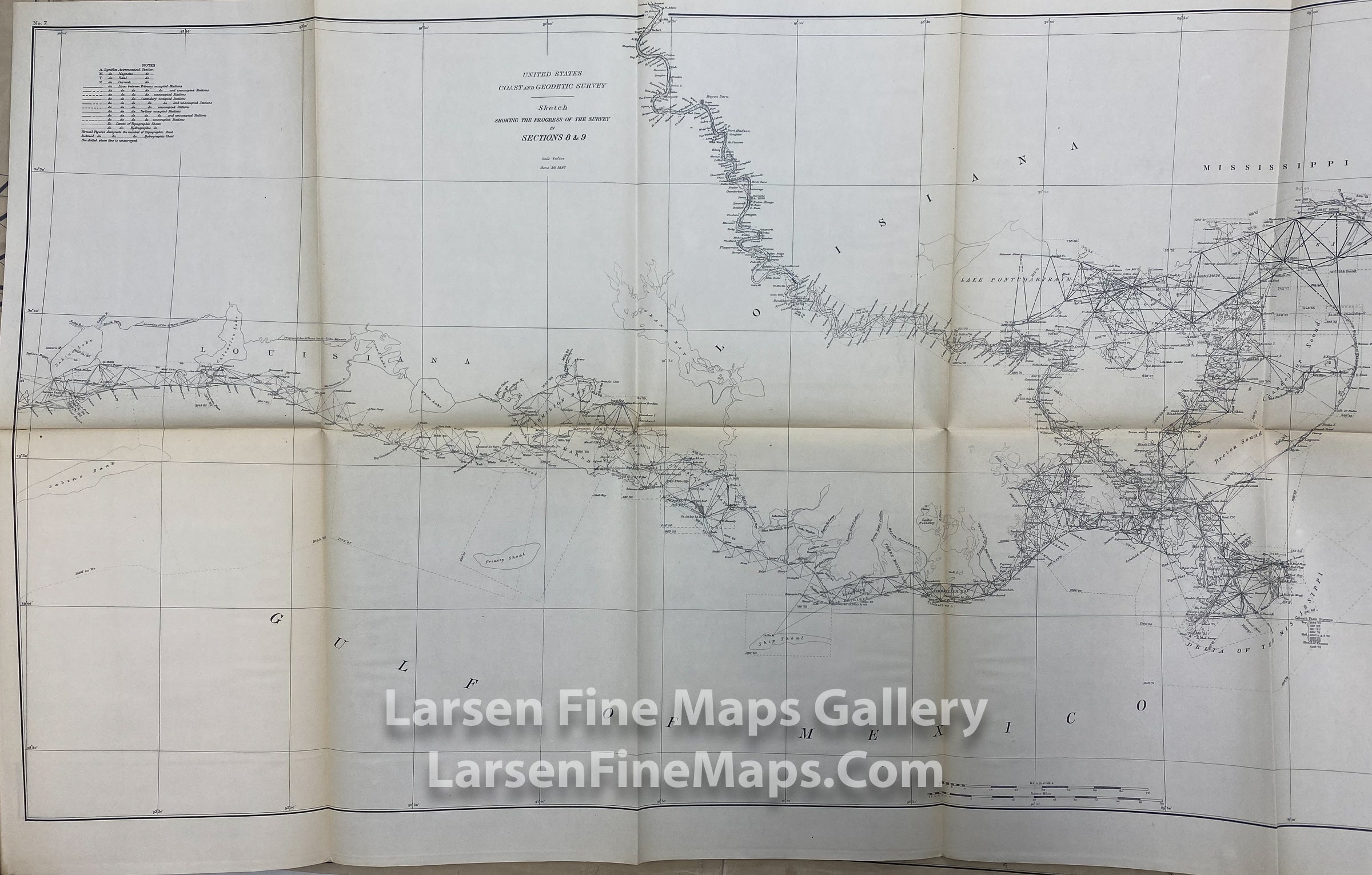
Sketch Showing The Progress of The Survey in Sections 8 & 9, June 30, 1887
DESCRIPTION
A very nice chart showing the progress of the survey and triangulations from Mobile Bay to the Mississippi Delta, and on to Vermilion Bay, Sabine Lake, including a stretch of the Mississippi River into Louisiana.
FULL TITLE
MAPMAKER/CARTOGRAPHER/AUTHOR
PUBLISHER
PUBLICATION
DIMENSIONS (Inches)
CONDITION
Choose options
DESCRIPTION
FULL TITLE
MAPMAKER/CARTOGRAPHER/AUTHOR
PUBLISHER
PUBLICATION
DIMENSIONS (Inches)
CONDITION
DESCRIPTION
FULL TITLE
MAPMAKER/CARTOGRAPHER/AUTHOR
PUBLISHER
PUBLICATION
DIMENSIONS (Inches)
CONDITION