YEAR PUBLISHED: 1864
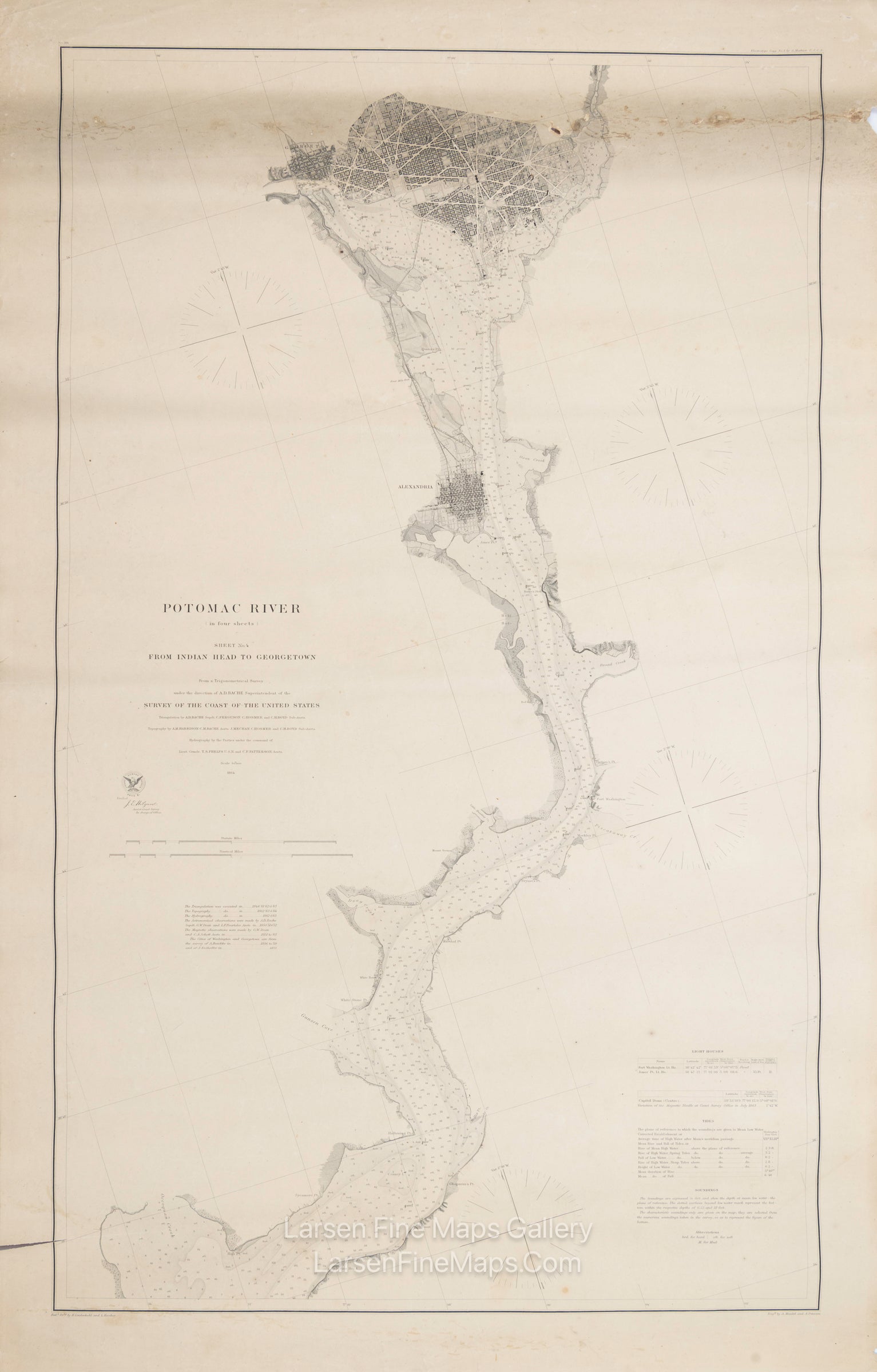
Potomac River (in four sheets), Sheet No. 4 From Indian Head to Georgetown
DESCRIPTION
A very nice separately issued chart of Washington D.C., Georgetown, and a stretch of the Potomac River down to Indian Head. This is Sheet-4 only of a 4-sheet set. The chart shows nice detail of the major cities and immediate shores of the river. Aids and hazards to navigation, depth soundings in feet, tributaries, and other locations are given. Tidal, lighthouse information, and the Capitol Dome location are given in the chart's notes lower right. Rare, separately issued heavy paper, thick paper edition.
FULL TITLE
MAPMAKER/CARTOGRAPHER/AUTHOR
PUBLISHER
PUBLICATION
DIMENSIONS (Inches)
CONDITION
Choose options
DESCRIPTION
FULL TITLE
MAPMAKER/CARTOGRAPHER/AUTHOR
PUBLISHER
PUBLICATION
DIMENSIONS (Inches)
CONDITION
DESCRIPTION
FULL TITLE
MAPMAKER/CARTOGRAPHER/AUTHOR
PUBLISHER
PUBLICATION
DIMENSIONS (Inches)
CONDITION