YEAR PUBLISHED: 1857
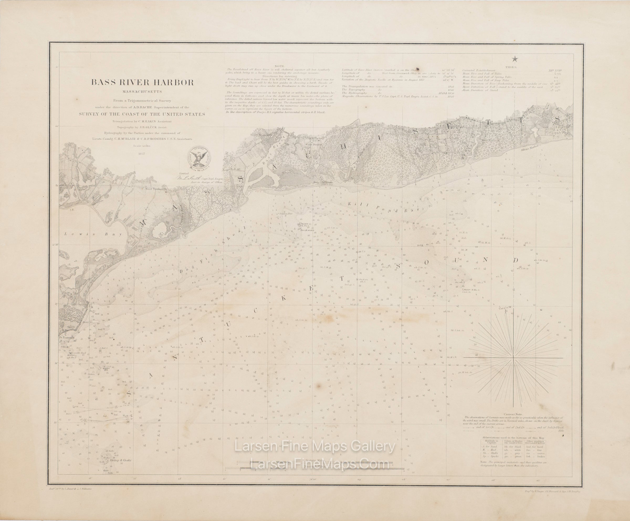
Bass River Harbor Massachusetts
DESCRIPTION
A very nice chart of Bass River Harbor and Nantucket Sound. The chart shows bathymetry by stipple pattern and soundings—relief shown by hachures. The chart has some roads, vegetation, and buildings shown. Bottom type, lighthouse information, and tidal notes as well.
This is a thick paper, separately issued chart of the area, and backed with linen.
FULL TITLE
MAPMAKER/CARTOGRAPHER/AUTHOR
PUBLISHER
PUBLICATION
DIMENSIONS (Inches)
CONDITION
Choose options
DESCRIPTION
FULL TITLE
MAPMAKER/CARTOGRAPHER/AUTHOR
PUBLISHER
PUBLICATION
DIMENSIONS (Inches)
CONDITION
DESCRIPTION
FULL TITLE
MAPMAKER/CARTOGRAPHER/AUTHOR
PUBLISHER
PUBLICATION
DIMENSIONS (Inches)
CONDITION