YEAR PUBLISHED: 1870
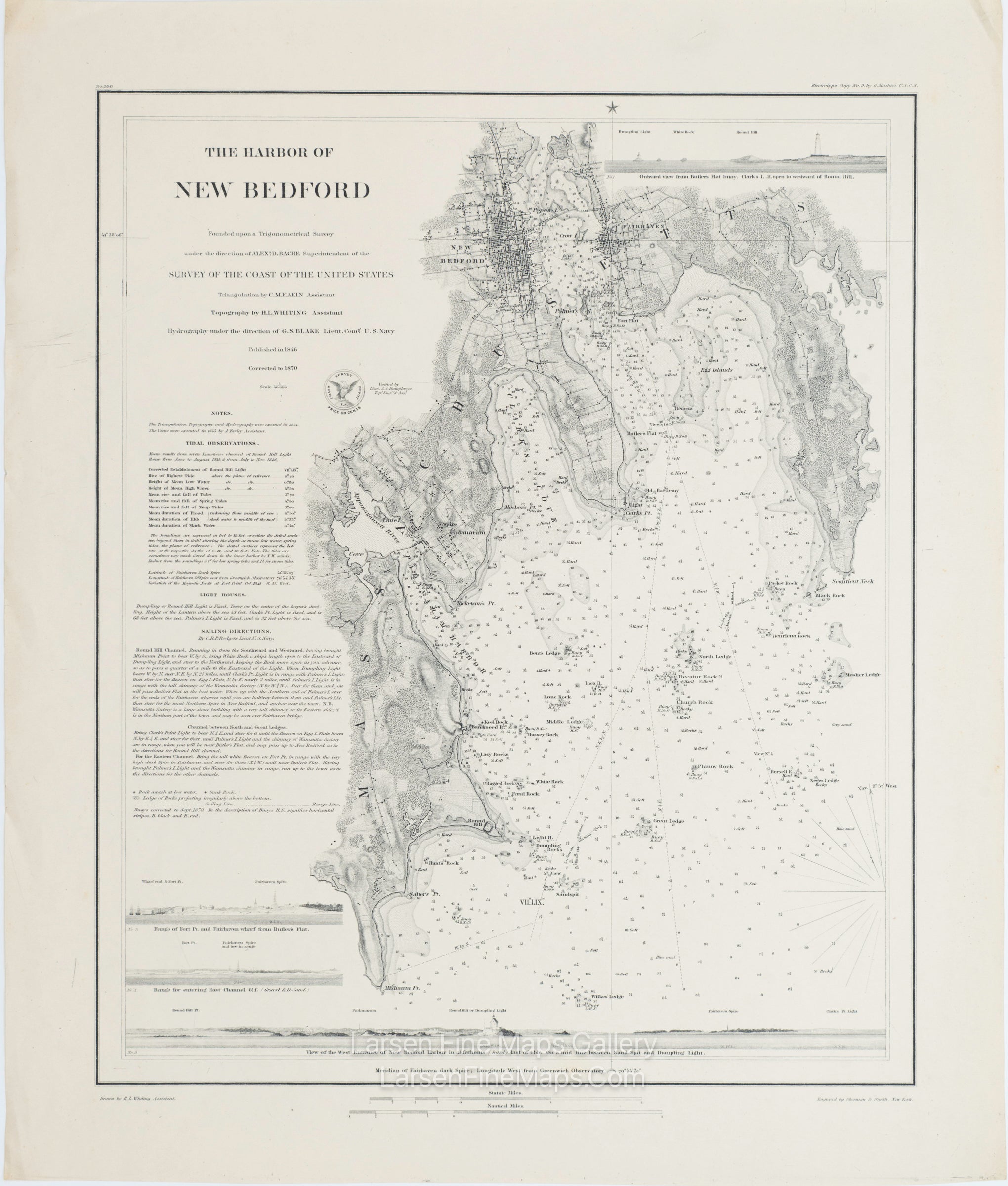
The Harbor of New Bedford
DESCRIPTION
A striking chart of New Bedford, Massachusetts, and the bay and coves nearby. The chart covers the area between Mishaum Point and Scontient Neck. This is a highly detailed (both on land and sea) chart showing bathymetry, soundings, aids, and hazards to navigation, points, harbors, coves, islands, rocks, lighthouses, bearings, buoys, farmlands, roads, buildings, piers, vegetation, towns and other miscellaneous features. The chart also includes notes, tidal observations, lighthouse information, sailing directions, and elevation views from various ranges. The chart is an 1870 edition of an earlier issue of this chart.
The chart is a thick-paper, separately published edition. Rare, separately issued heavy paper, thick paper edition.
FULL TITLE
MAPMAKER/CARTOGRAPHER/AUTHOR
PUBLISHER
PUBLICATION
DIMENSIONS (Inches)
CONDITION
Choose options
DESCRIPTION
FULL TITLE
MAPMAKER/CARTOGRAPHER/AUTHOR
PUBLISHER
PUBLICATION
DIMENSIONS (Inches)
CONDITION
DESCRIPTION
FULL TITLE
MAPMAKER/CARTOGRAPHER/AUTHOR
PUBLISHER
PUBLICATION
DIMENSIONS (Inches)
CONDITION