YEAR PUBLISHED: 1757
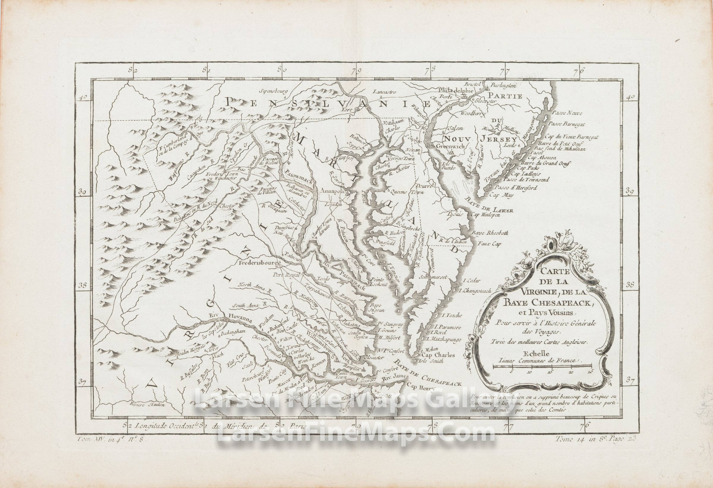
Carte de la Virginie, de la Baye de Chesapeack et Pays Voisins. Pour servie a L'Histoire Generale des Voyages. Tiree des meilleures Cartes Angloises.
DESCRIPTION
A beautiful map of Virginia, Maryland, Delaware centered on Chesapeake Bay. Relief shown pictorially.
FULL TITLE
MAPMAKER/CARTOGRAPHER/AUTHOR
PUBLISHER
PUBLICATION
DIMENSIONS (Inches)
CONDITION
Choose options

DESCRIPTION
FULL TITLE
MAPMAKER/CARTOGRAPHER/AUTHOR
PUBLISHER
PUBLICATION
DIMENSIONS (Inches)
CONDITION
DESCRIPTION
FULL TITLE
MAPMAKER/CARTOGRAPHER/AUTHOR
PUBLISHER
PUBLICATION
DIMENSIONS (Inches)
CONDITION