YEAR PUBLISHED: 1849
Philadelphia
DESCRIPTION
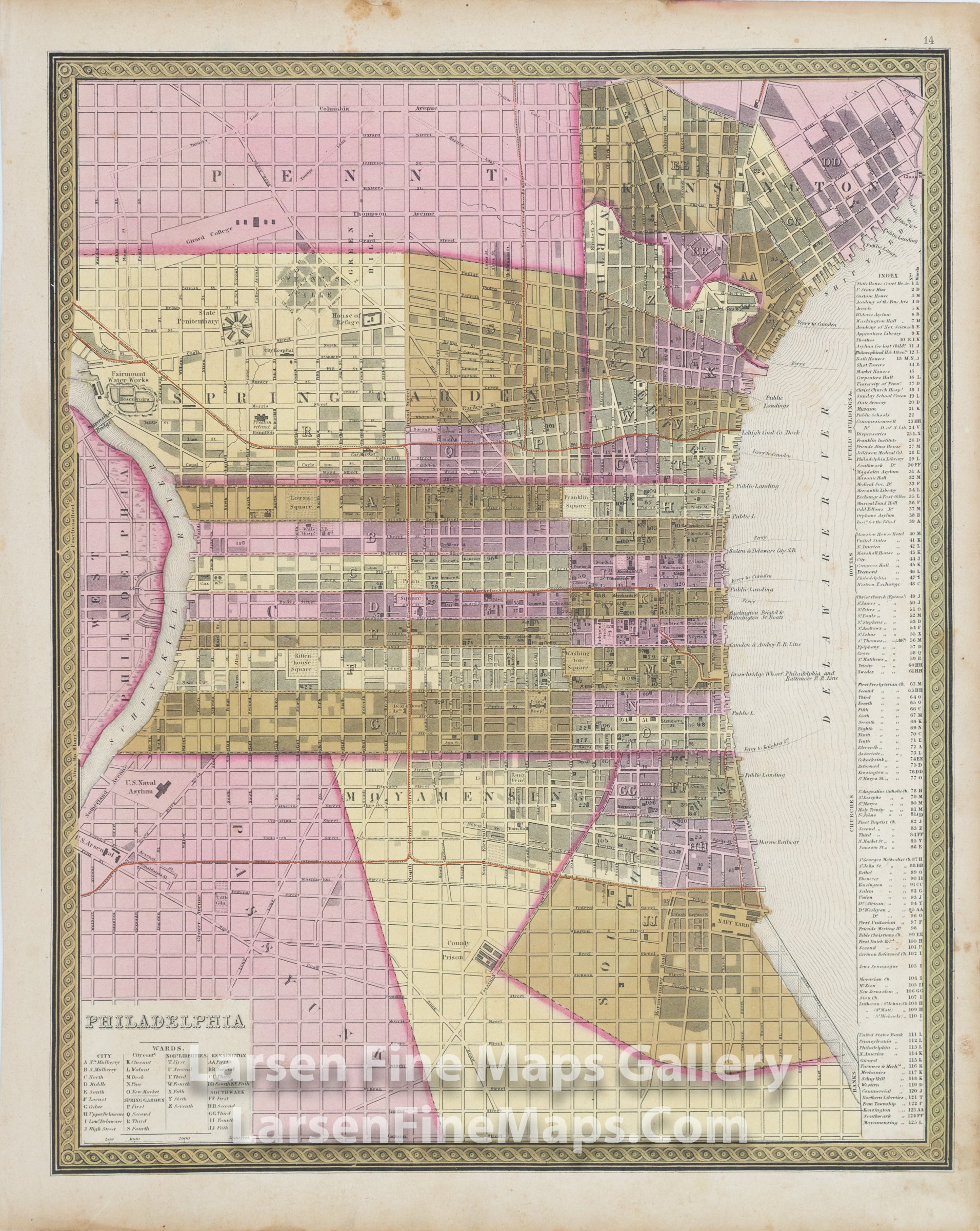
A nicely colored and engraved map plan of Philadelphia in 1849. The large-scale map shows many of the public buildings, churches, academies, houses, and points of interest at the time. The plan shows roads, landings, canals, other waterways, buildings and wards.
FULL TITLE
MAPMAKER/CARTOGRAPHER/AUTHOR
PUBLISHER
PUBLICATION
DIMENSIONS (Inches)
CONDITION
Choose options
DESCRIPTION
FULL TITLE
MAPMAKER/CARTOGRAPHER/AUTHOR
PUBLISHER
PUBLICATION
DIMENSIONS (Inches)
CONDITION
DESCRIPTION
FULL TITLE
MAPMAKER/CARTOGRAPHER/AUTHOR
PUBLISHER
PUBLICATION
DIMENSIONS (Inches)
CONDITION