YEAR PUBLISHED: 1838
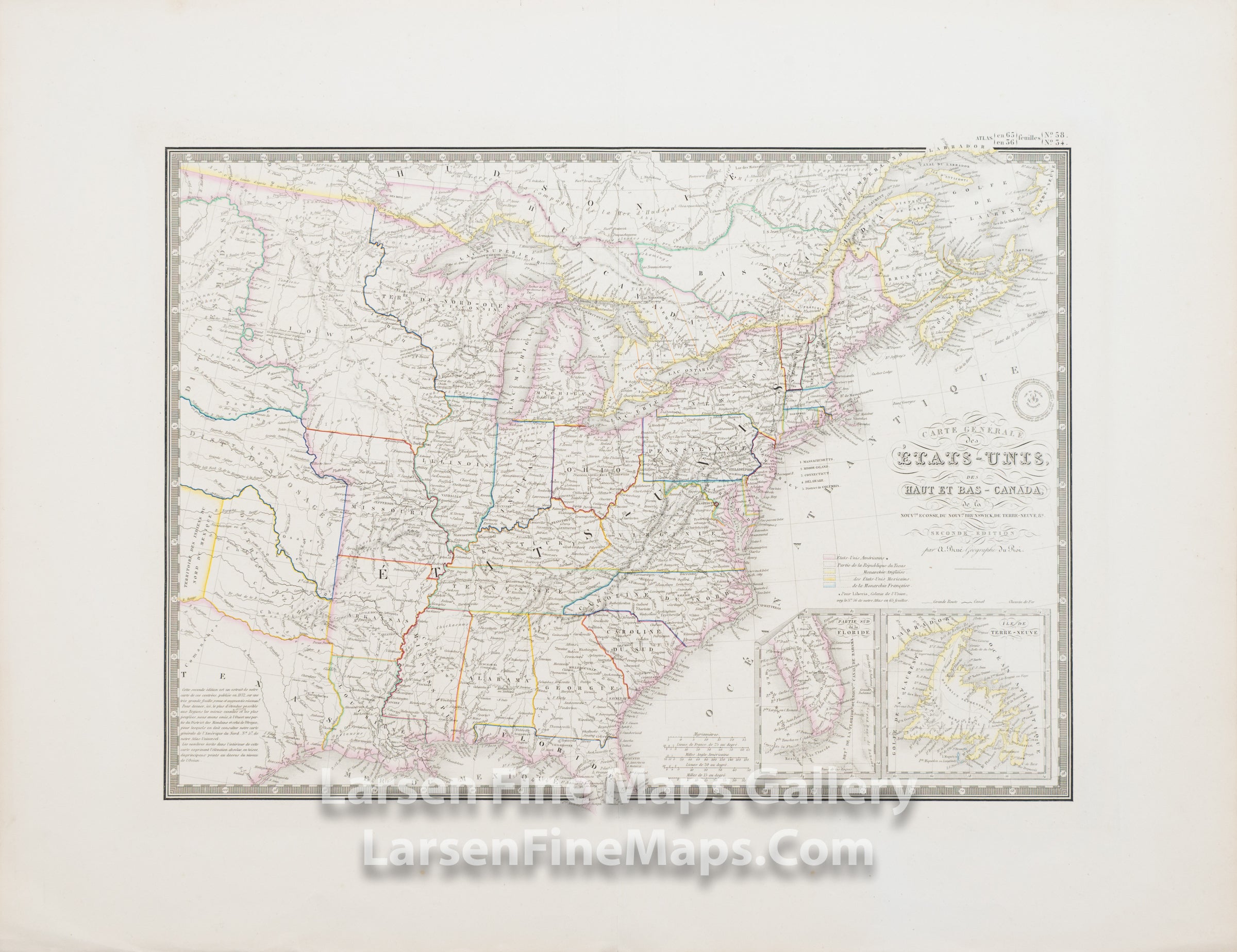
Carte Générale des États-Unis, des Haut et Bas-Canada, de la Nouvelle Ecosse, du Nouveau Brunswick, de Terre-Neuve, etc.
DESCRIPTION
A striking and detailed map of the United States and Canada. The map extends to the Mandan, Osage and Ozark Districts west of the Missouri River and east of the Rocky Mountains. Two inset maps of Florida and Newfoundland are shown in the lower right. This appears to be a rare state of the second edition of the map, as it does not contain the reference to Charles Picquet as do other editions and states.
FULL TITLE
MAPMAKER/CARTOGRAPHER/AUTHOR
PUBLISHER
PUBLICATION
DIMENSIONS (Inches)
CONDITION
Choose options

DESCRIPTION
FULL TITLE
MAPMAKER/CARTOGRAPHER/AUTHOR
PUBLISHER
PUBLICATION
DIMENSIONS (Inches)
CONDITION
DESCRIPTION
FULL TITLE
MAPMAKER/CARTOGRAPHER/AUTHOR
PUBLISHER
PUBLICATION
DIMENSIONS (Inches)
CONDITION