

YEAR PUBLISHED: 1850
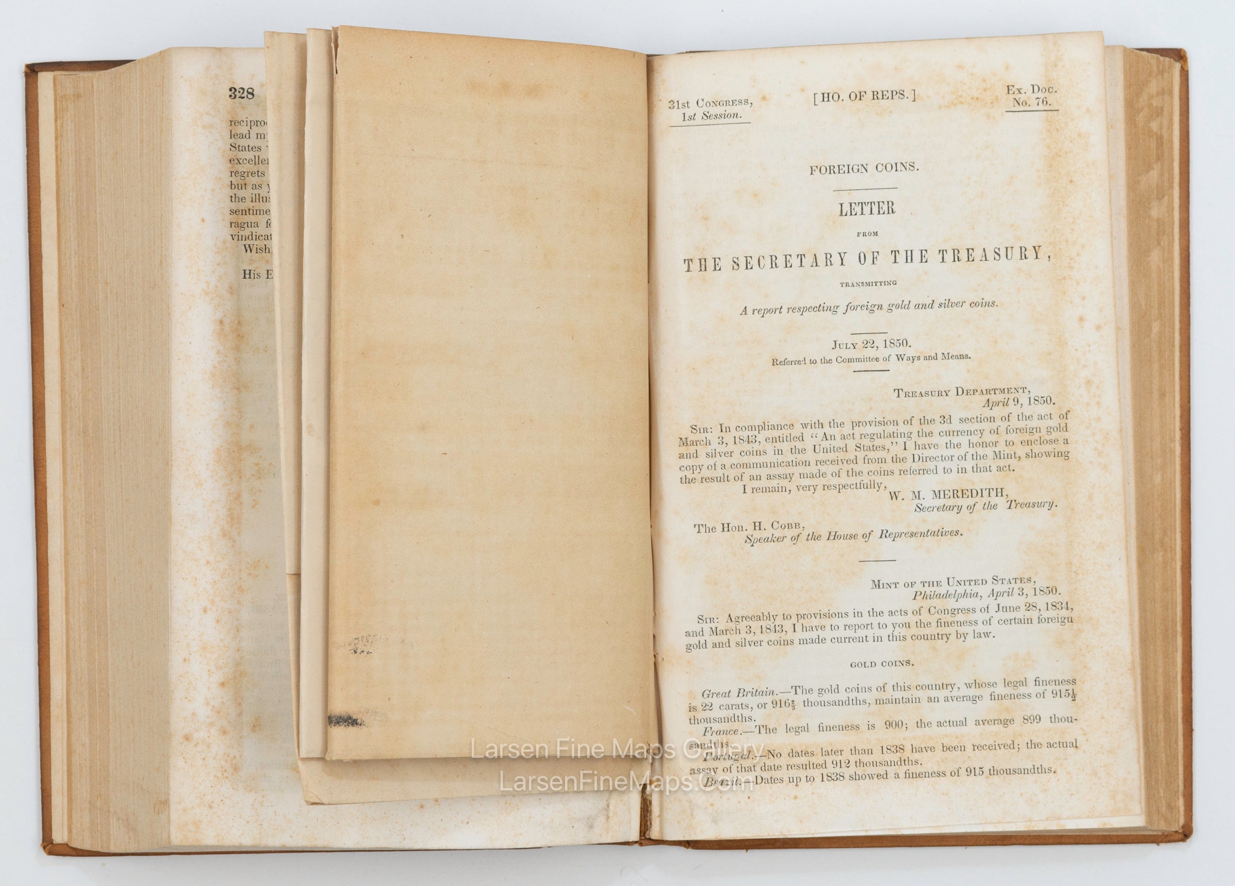
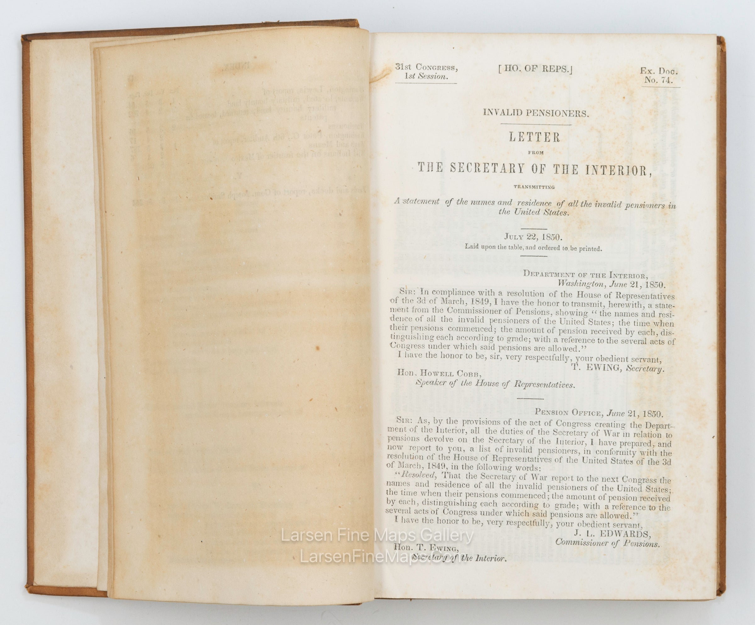
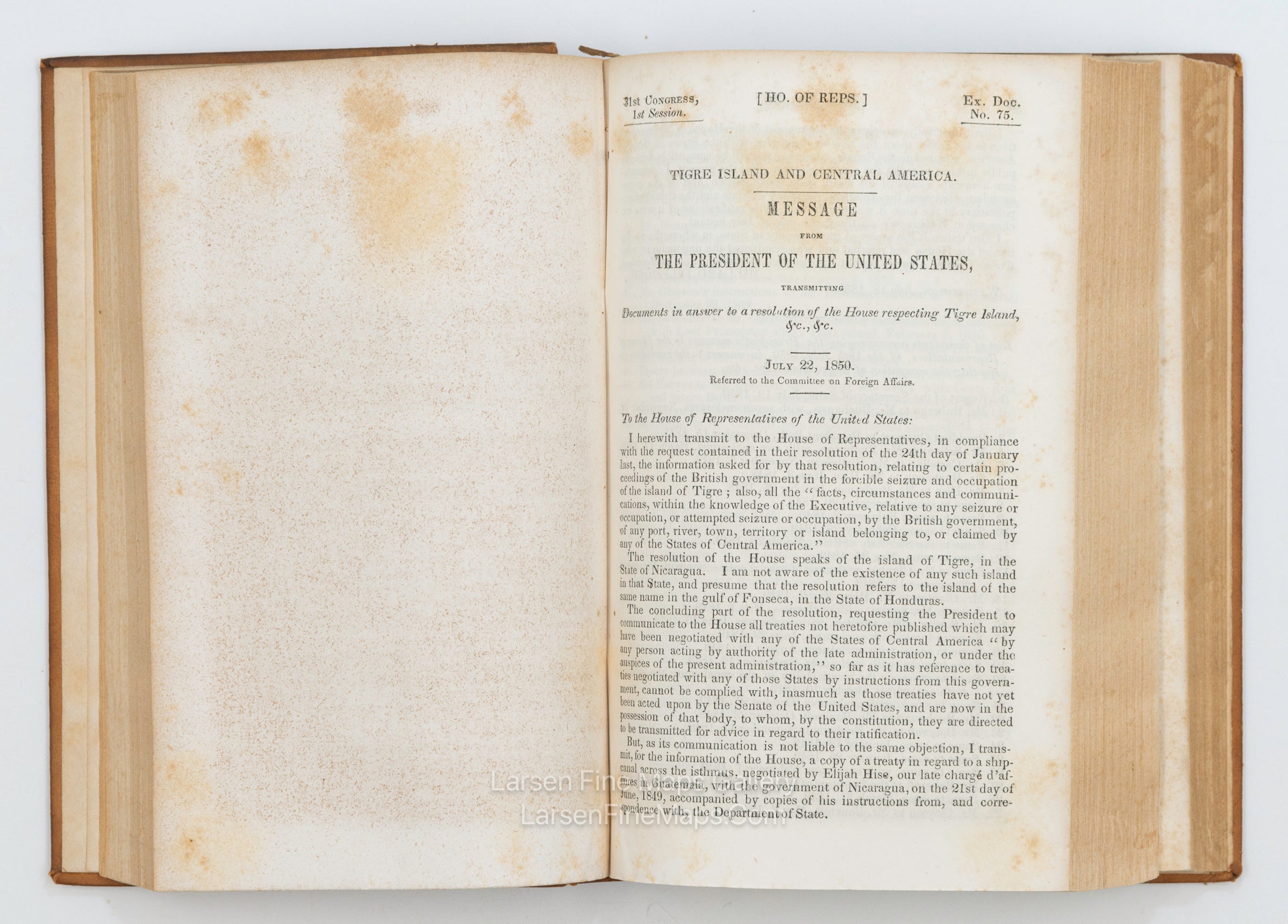
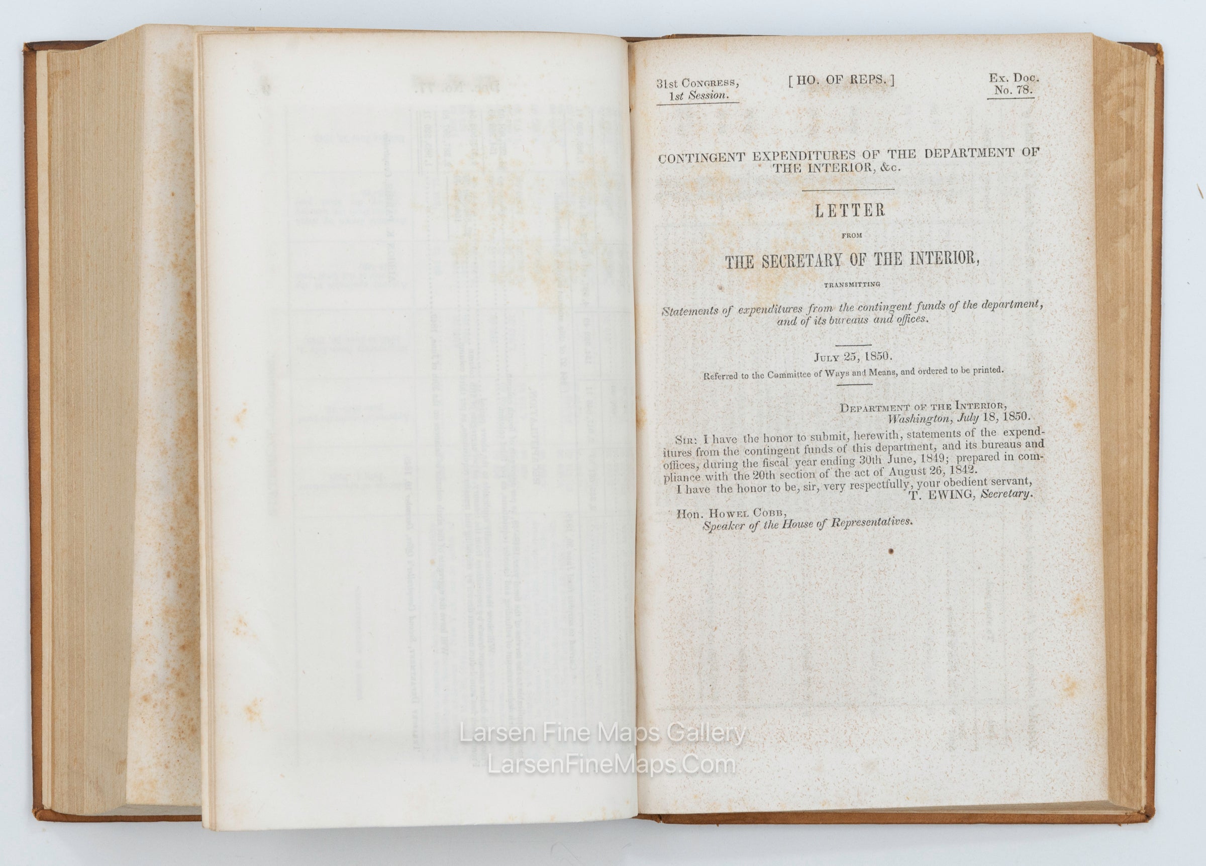
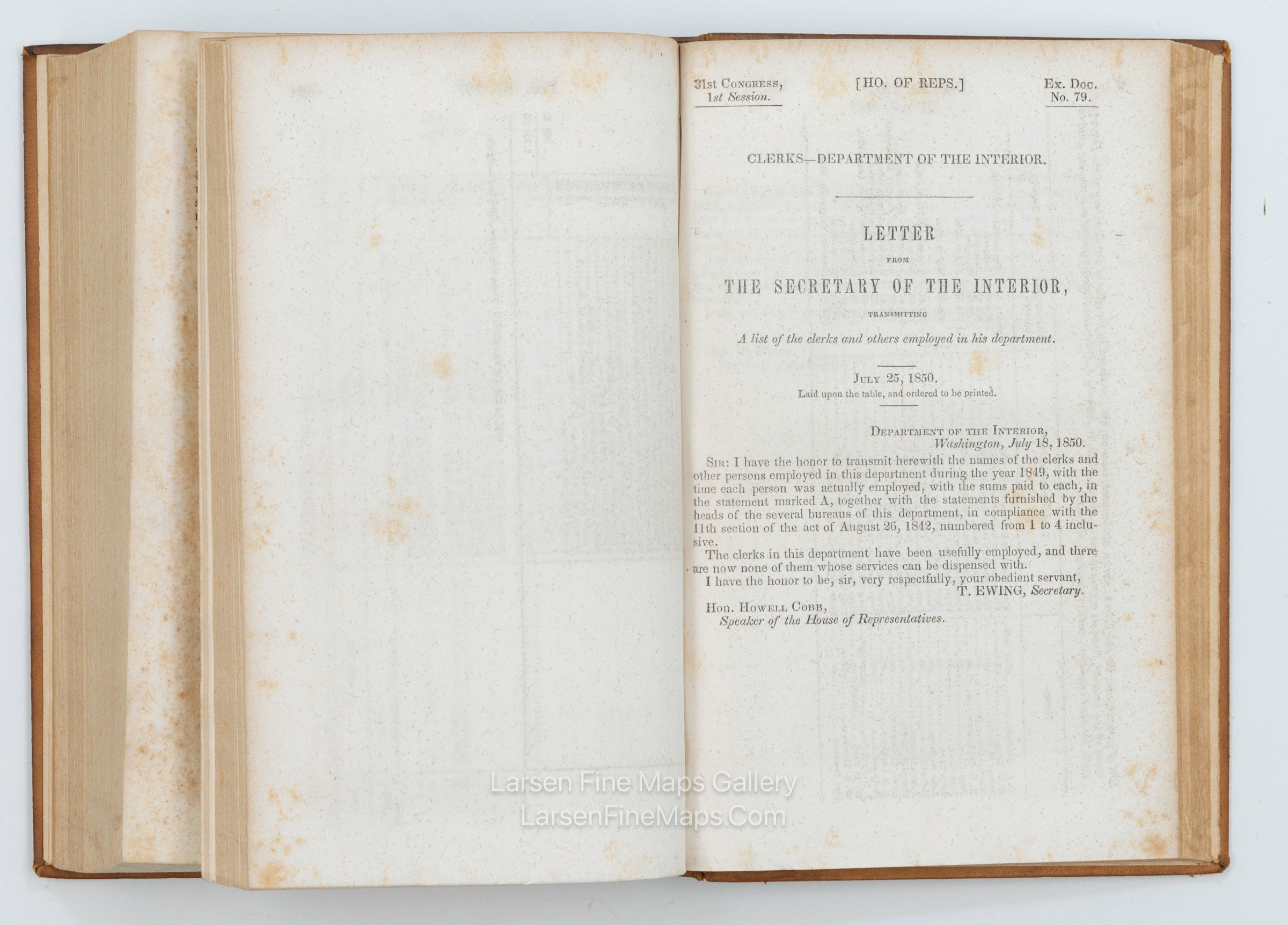
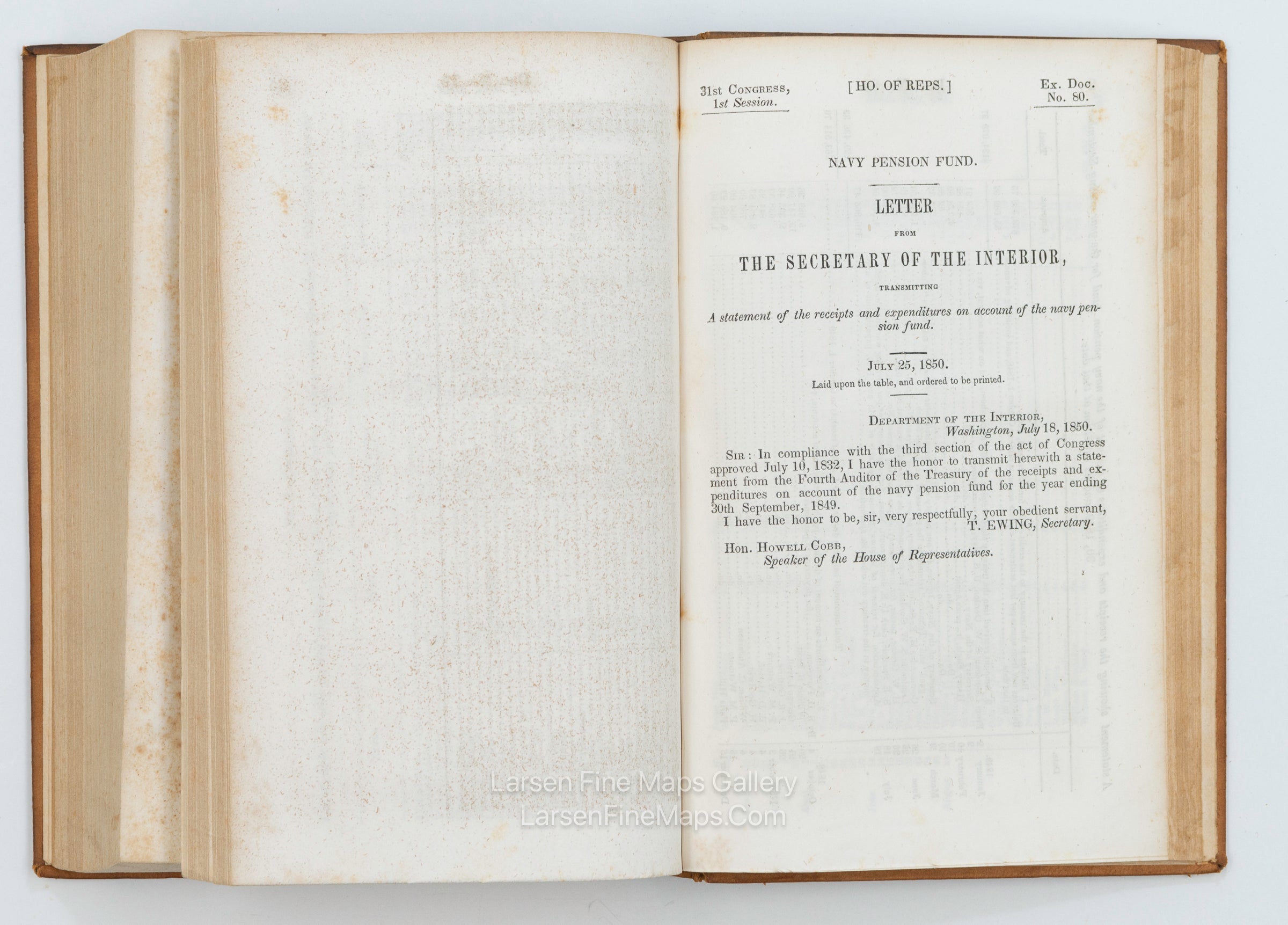
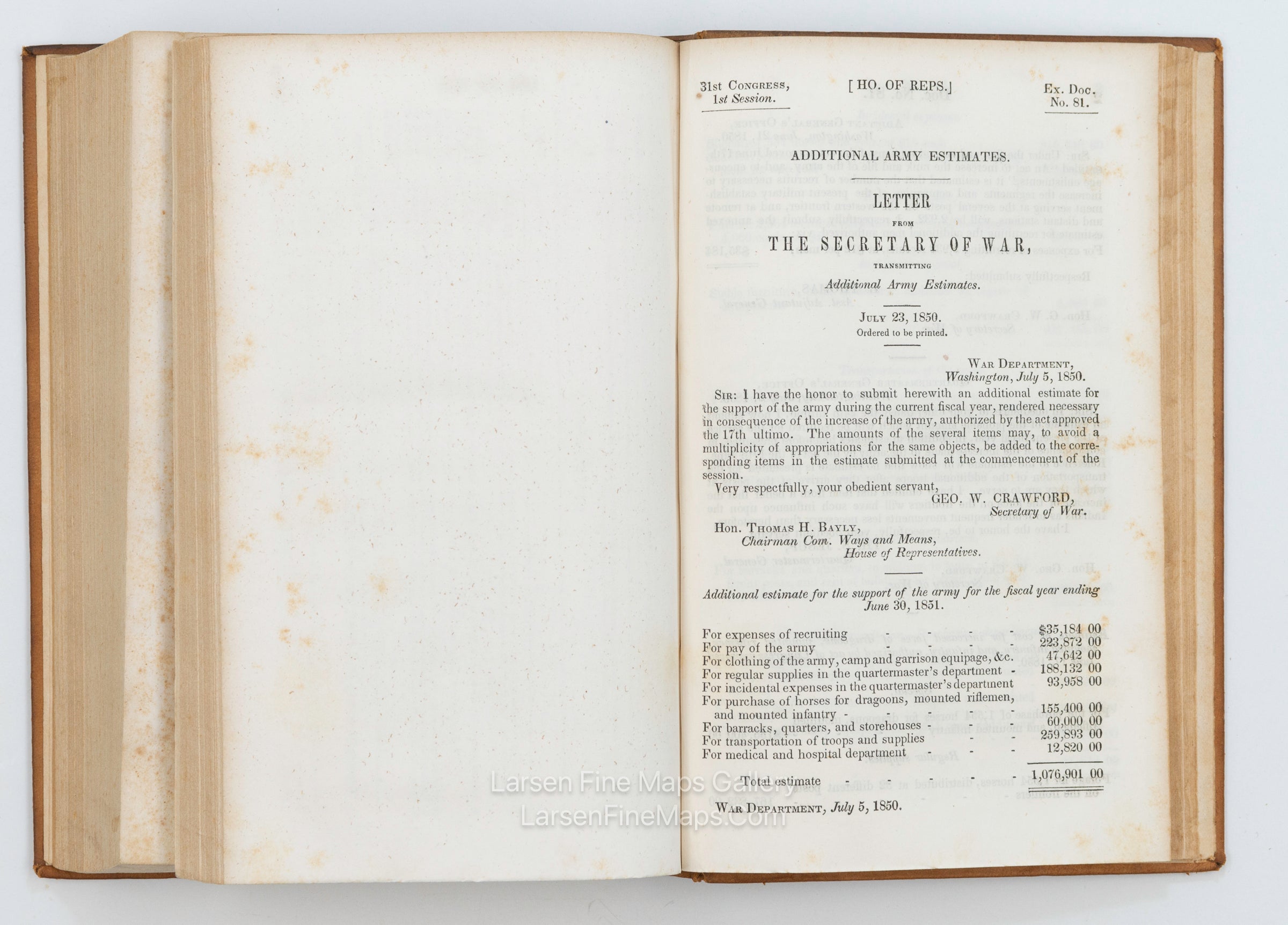
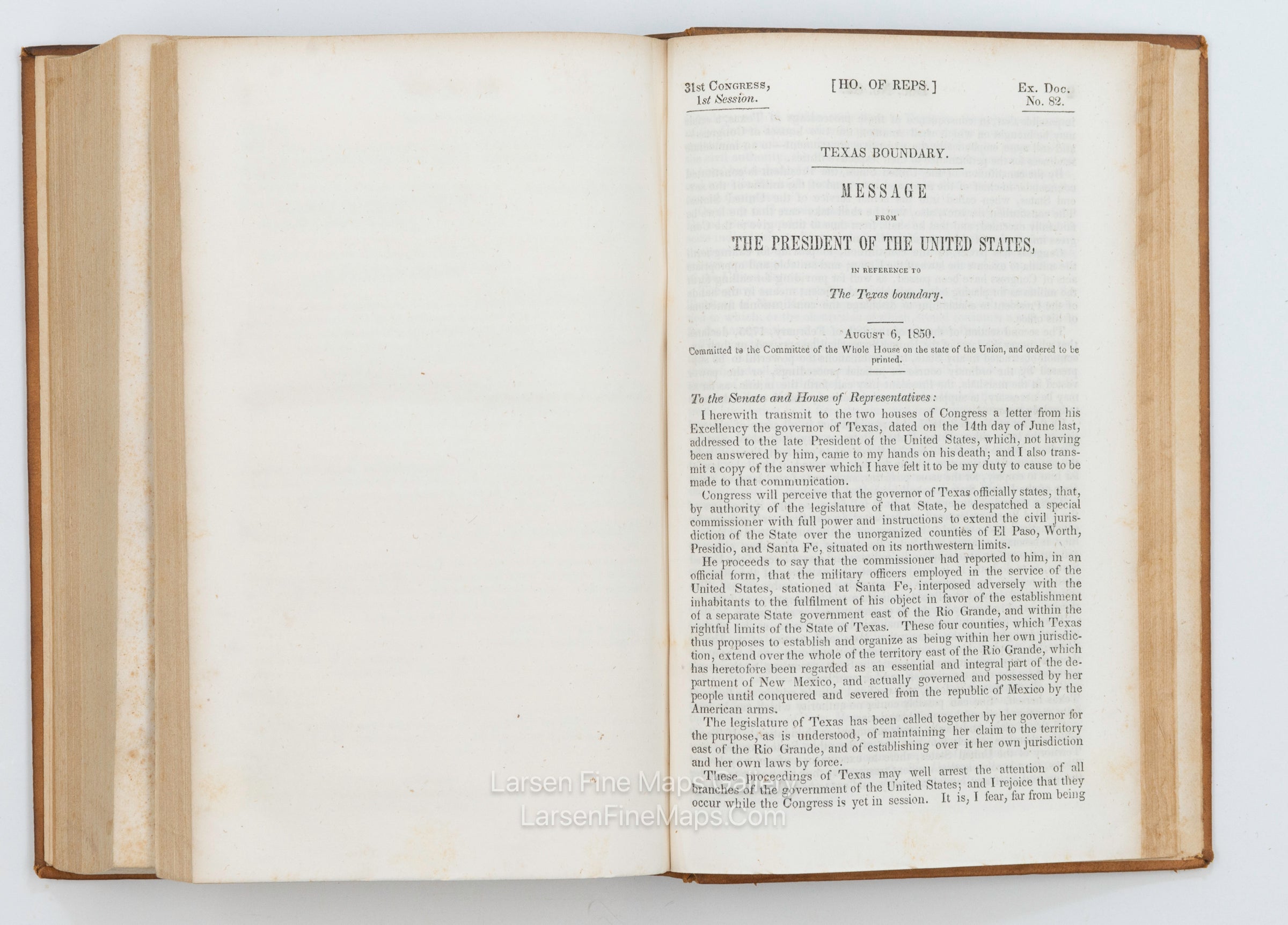
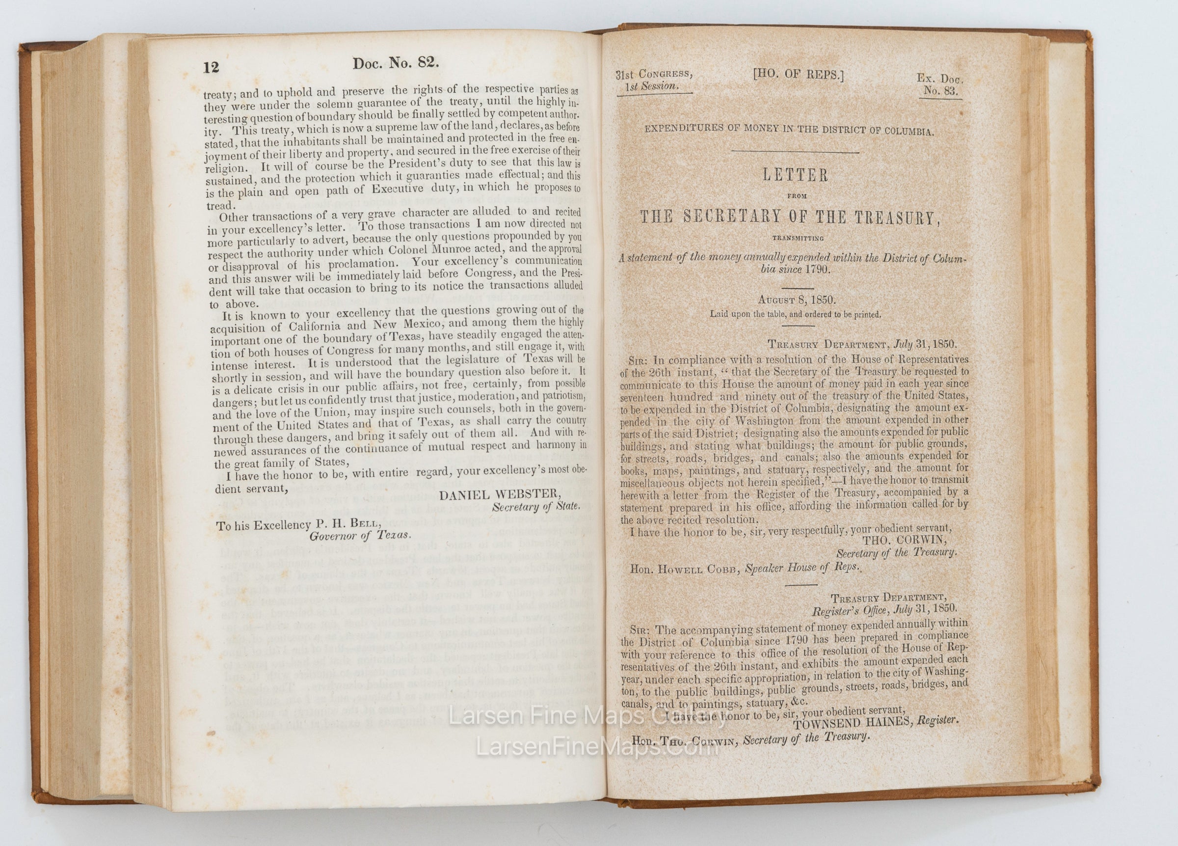
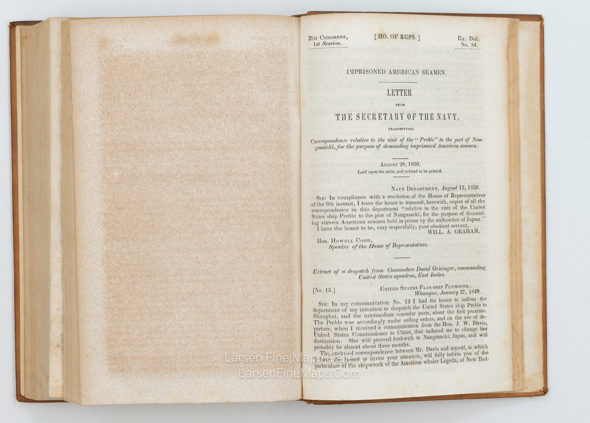
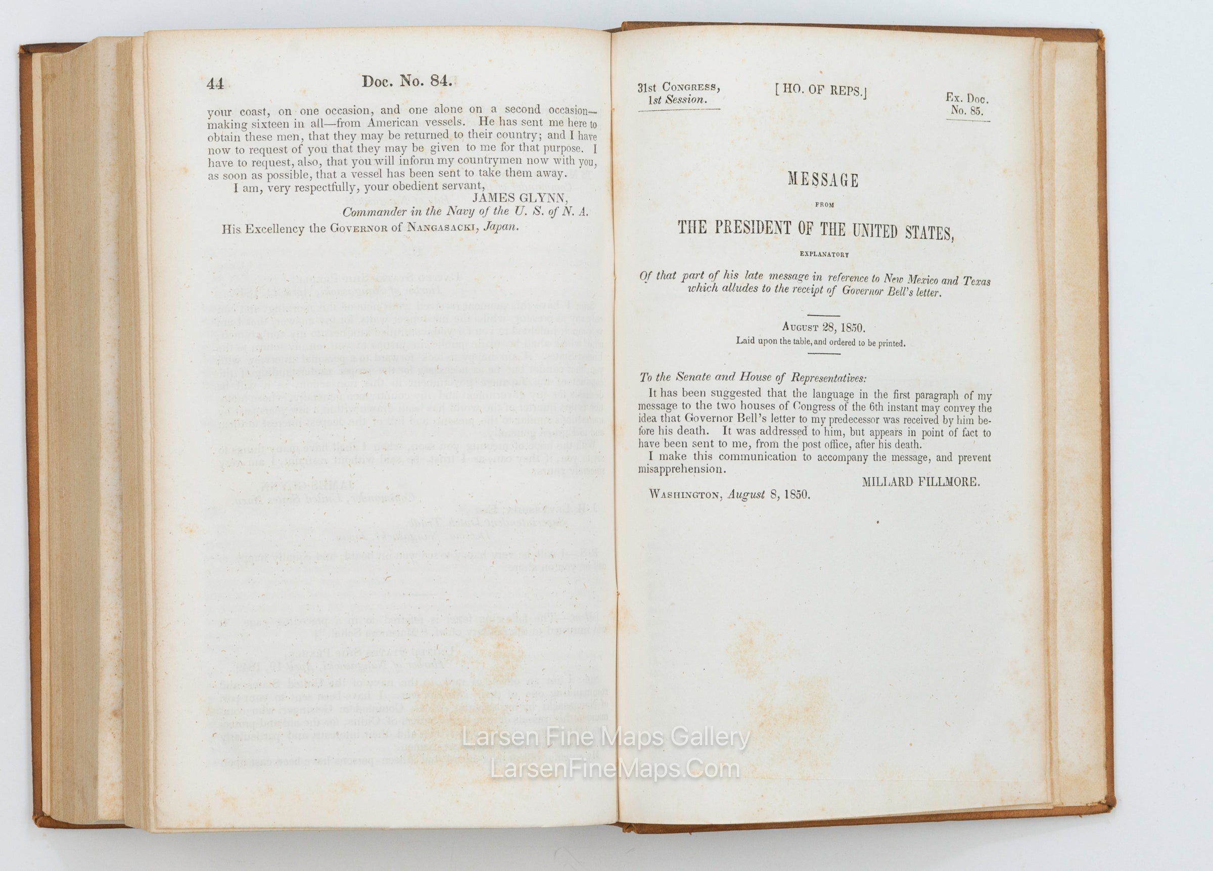
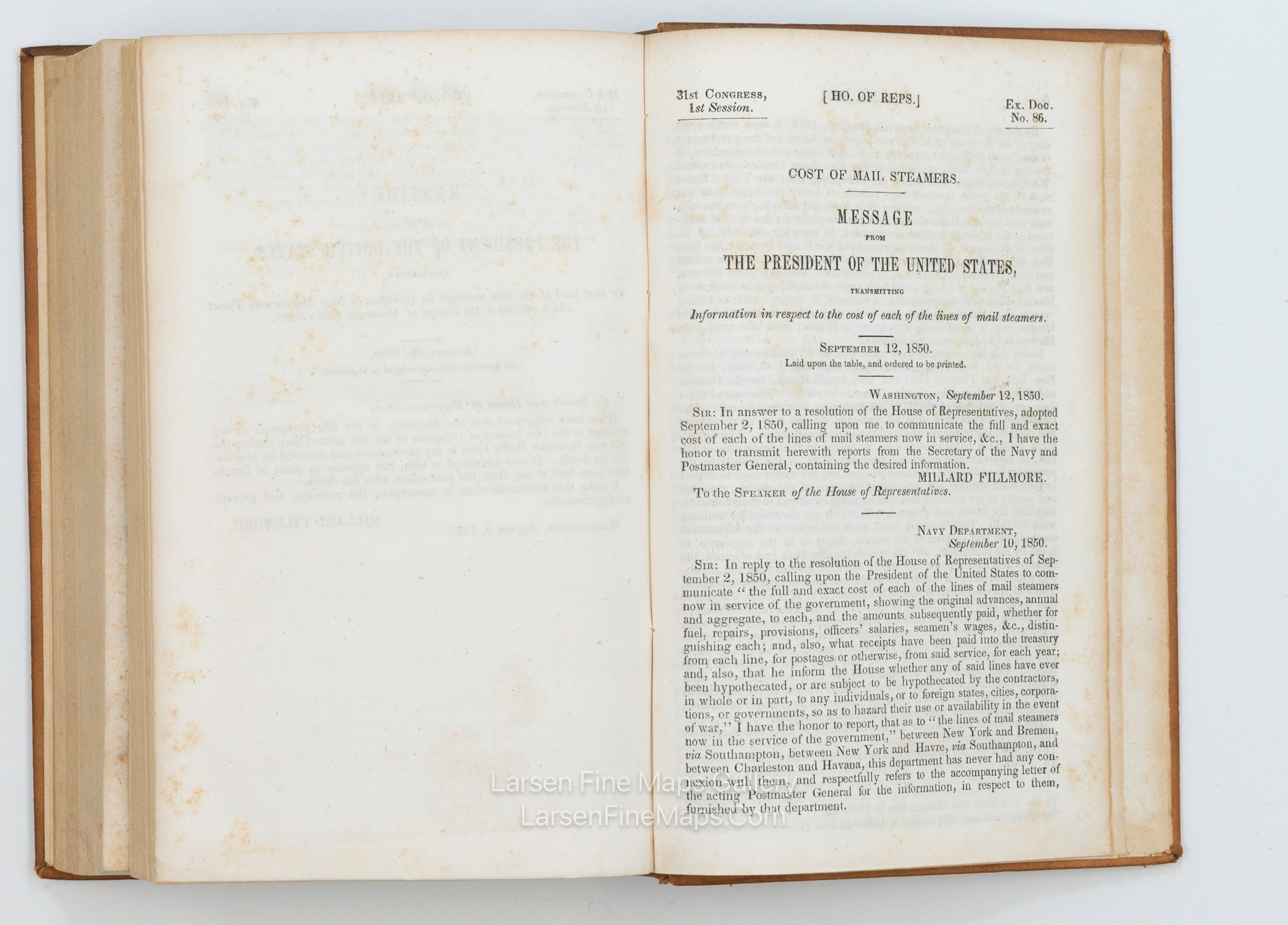
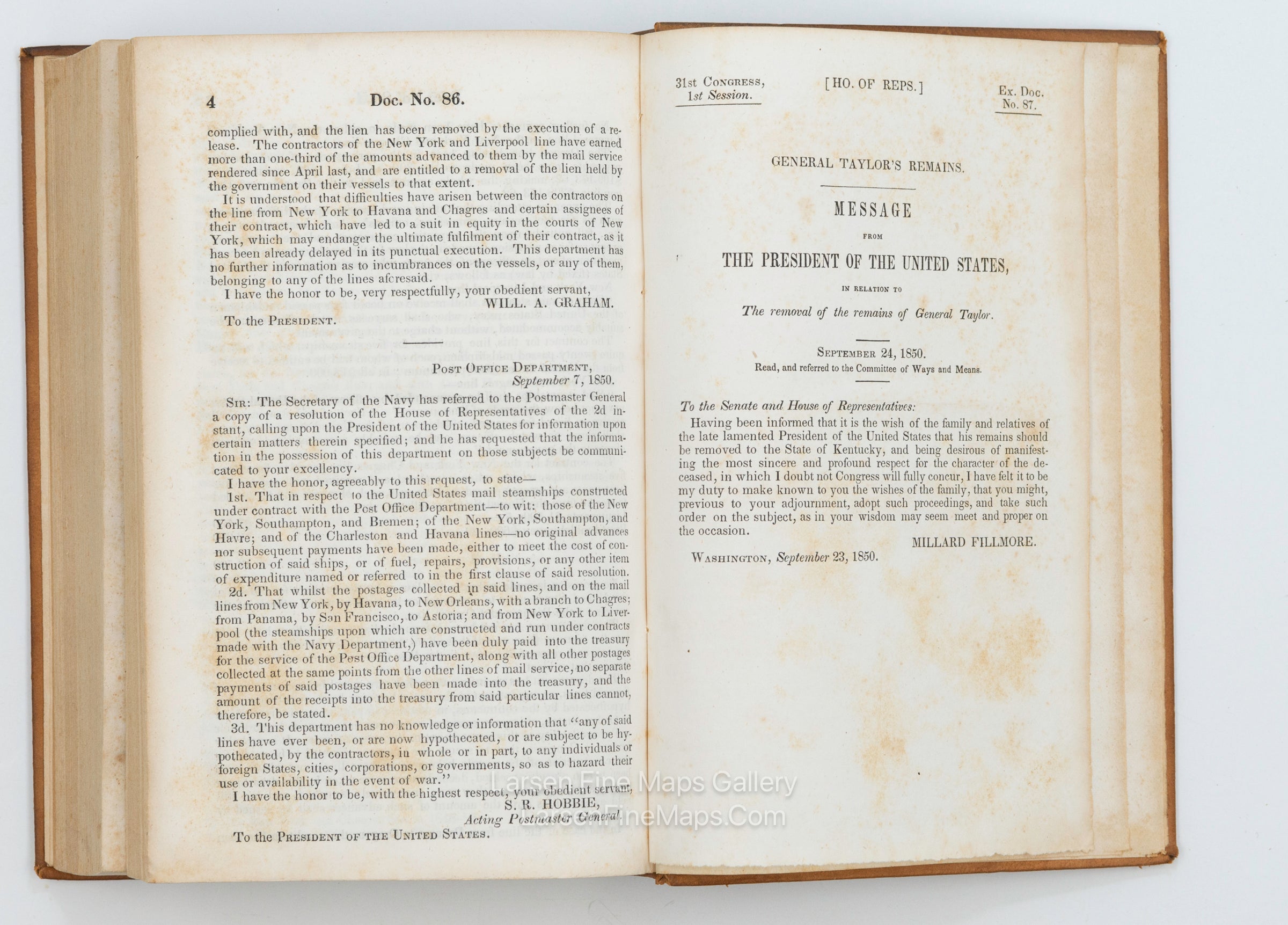
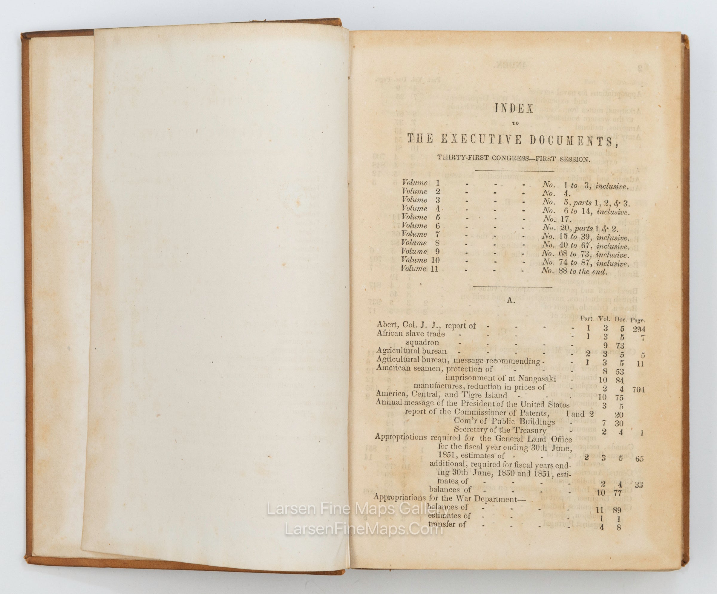
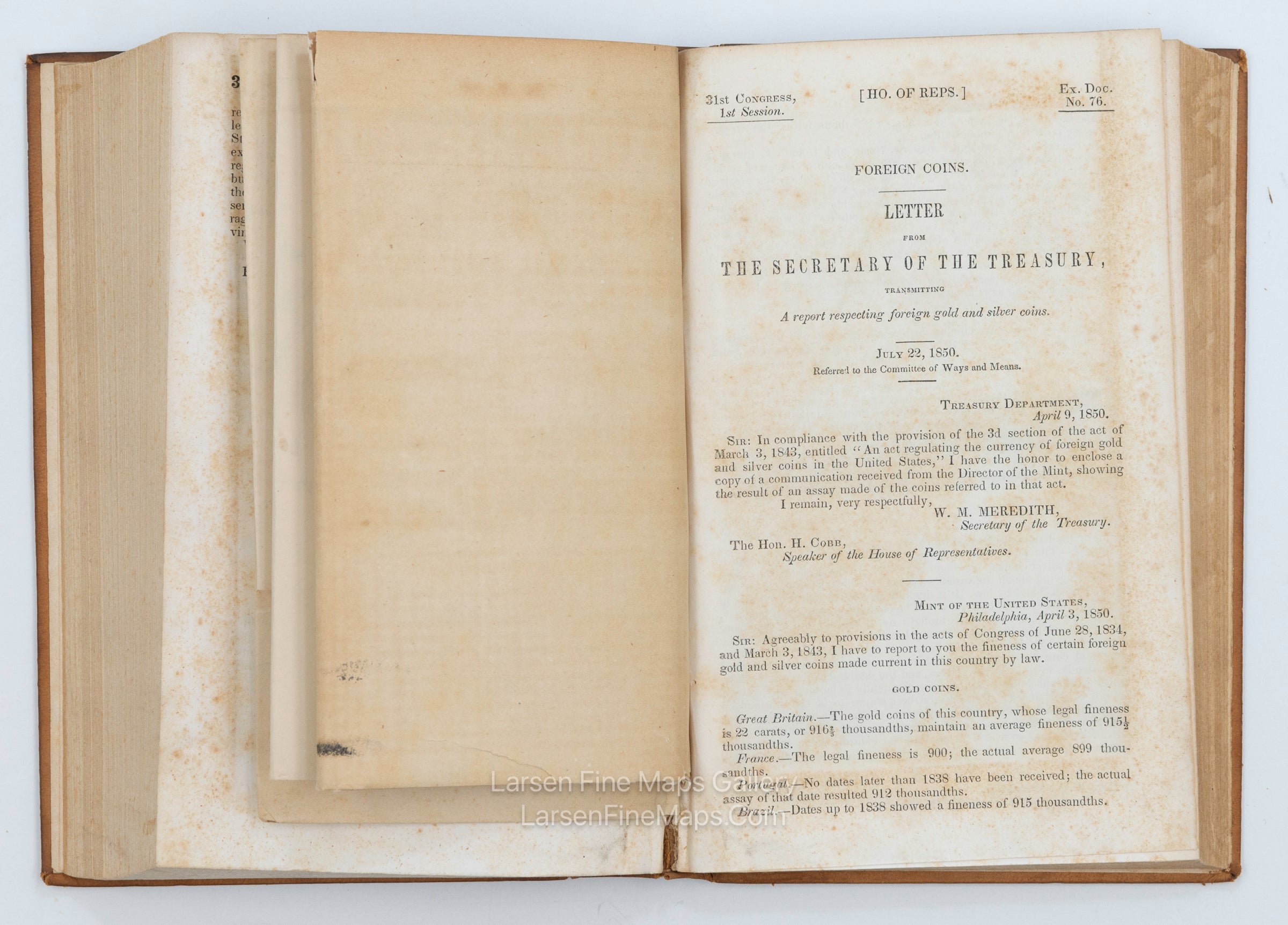
Executive Documents 1st Session, 31st Congress, Vol. 10 1849-1850. Ex. Docs. No. 74 to 87 Inclusive.
DESCRIPTION
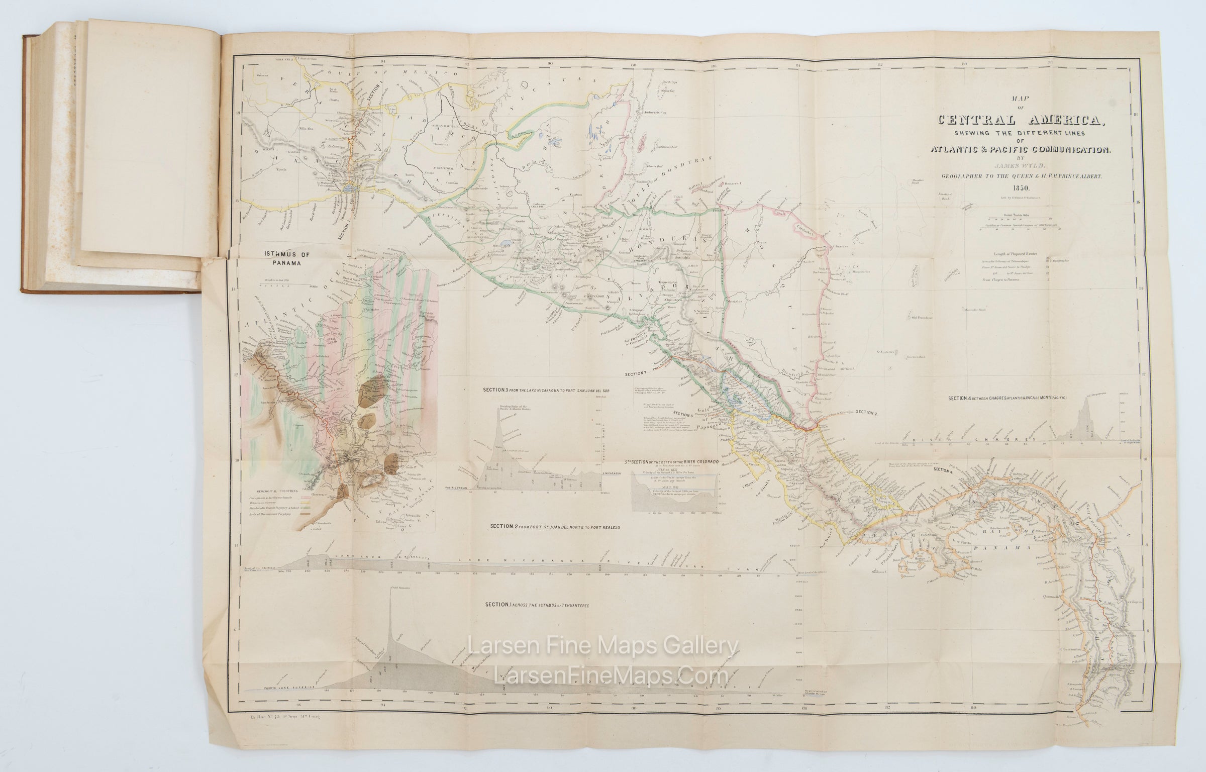
Rare volume with maps of Central America. Includes fourteen documents.
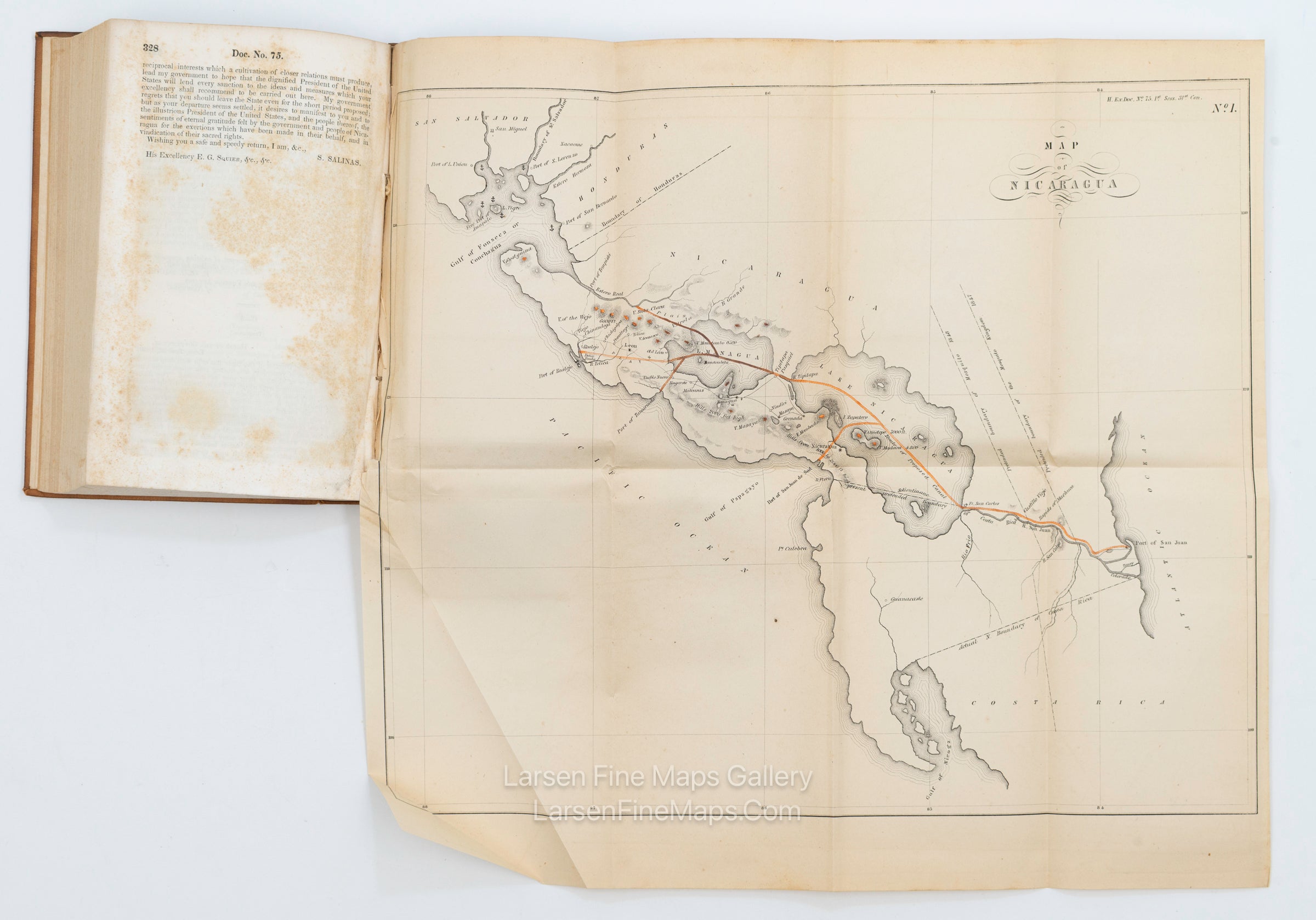
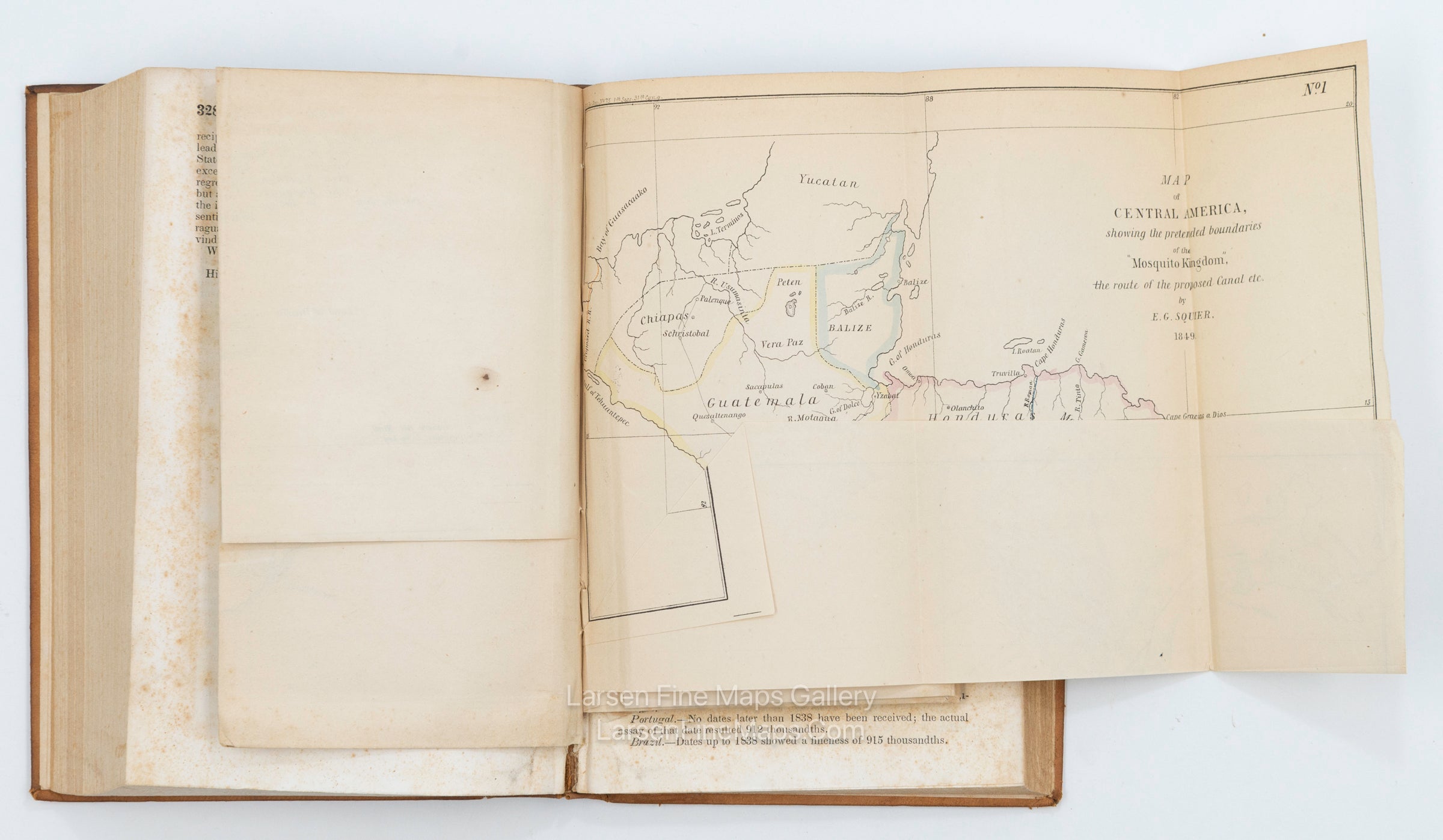
Includes fold-out maps as follows:
1) "Map of Central America Shewing the Different Lines of Atlantic & Pacific Communication. By James Wyld, Geographer to the Queen & H.R.H Prince Albert. 1850.
2) Map of Nicaragua.
3) Map of Central America, showing the pretended boundaries of the "Mosquito Kingdom", the route of the proposed Canal etc. by E.G. Squier. 1849.
4) Map of The River of San Juan De Nicaragua.
FULL TITLE
MAPMAKER/CARTOGRAPHER/AUTHOR
PUBLISHER
PUBLICATION
DIMENSIONS (Inches)
CONDITION
Choose options

DESCRIPTION
FULL TITLE
MAPMAKER/CARTOGRAPHER/AUTHOR
PUBLISHER
PUBLICATION
DIMENSIONS (Inches)
CONDITION
DESCRIPTION
FULL TITLE
MAPMAKER/CARTOGRAPHER/AUTHOR
PUBLISHER
PUBLICATION
DIMENSIONS (Inches)
CONDITION